Protecting our planet with Sentinel 1
01 April 2014
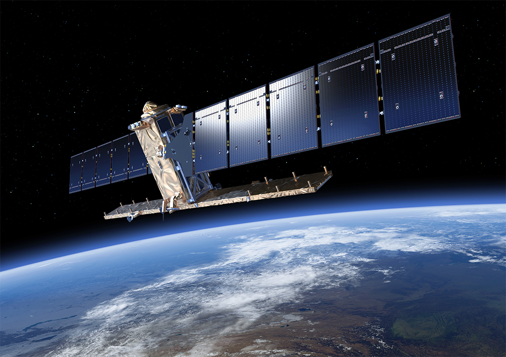
Sentinel 1 is scheduled for launch on 3 April. Thanks to a radar instrument that can see through clouds and observe the planet’s surface 24/7, this Earth observation satellite will be able to help us safeguard our planet.
These powerful eyes in the sky will be 700 km above us. Even if far away, they will be able to study the entire planet, detecting objects as small as 5 metres across, and imaging the same place every few days.

One of Sentinel’s key tasks will be to help in forecasting natural disasters like floods and landslides, and helping recovery teams deal with crisis situations. Many places in Europe have suffered devastating floods in recent years. Thick cloud cover and rain means that the ground is hidden from most satellites. However, Sentinel 1’s radar images, that will see through cloud cover and rain, will give early warning of possible floods and help authorities to deal with the rising water.
The Sentinel 1 radar can also detect small changes in surface height, giving advance warning of possible volcanic eruptions or landslides. This will help local authorities decide what to do to protect the population. It can also track the growth and progress of storms by measuring wave heights and wind speeds, giving advance warning to the people studying these phenomena, and ultimately saving lives.
With more than 7 billion people living on Earth, major changes are taking place in the use of our planet’s land, and environmental damage in general. Sentinel 1 will help by monitoring the destruction of forests, showing changing patterns of land use and revealing areas that are running out of fresh water.

Sentinel 1 will help with maritime navigation and make shipping safer by providing ice-thickness maps. In March 2011, cargo ships and ferries carrying more than 1000 people were trapped in ice for several days in the northern Baltic Sea. With more accurate predictions of sea ice thickness it will be possible to help prevent situations like these.
Sentinel 1 will also be able to detect water pollution, such as oil spills. Rapid detection and early warning of these spills will allow coast guard authorities to catch polluters in the case of illegal discharges, and to respond quickly to emergencies in the case of accidental spills.
One satellite image from Sentinel-1 will be able to capture more than a hundred thousand square kilometres of ocean, making this a very efficient way to search for oil slicks!


