Satellites see through hurricanes!

31 October 2017
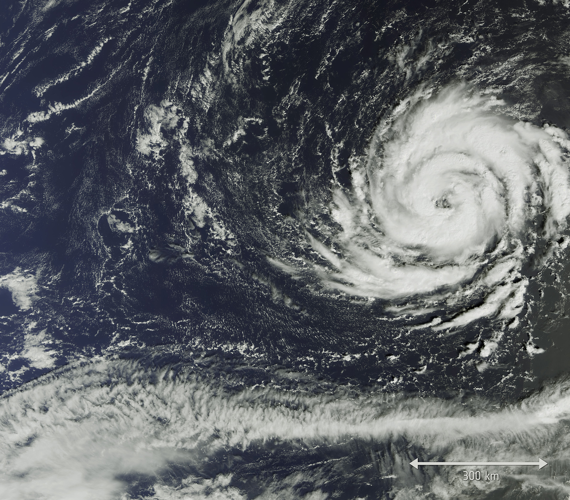
So far this year 10 hurricanes have raged across the Atlantic – the first time that there have been so many in a row in over 100 years. Understanding how these powerful storms are formed, and predicting where they will move, is essential to saving lives. Two ESA Sentinel satellites have been helping with this mission.
Using satellites orbiting Earth to photograph hurricanes from above is useful. But the Sentinel satellites have a special trick that is even better. They are equipped with high-tech radar imaging devices to monitor levels of sea ice, track oil spills, and even see how land is changed after earthquakes. Scientists from the German Aerospace Center have created a new radar imaging technique that allows the Sentinel satellites to see through hurricanes, and image the water beneath them!
The satellites were not designed to observe hurricanes so it is impressive that scientists were able to invent a new way of using the technology. This ability means that we can learn about the surface winds and wave heights directly beneath hurricanes. It would be incredibly dangerous to send people on boats into storms to get this information. Using satellites instead is very safe.
Data gathered by the Sentinels allows scientists to predict how destructive a hurricane will be, and where it might move onto land where people live. This same information can be given to sailors on ships near the hurricanes, warning them to keep clear.

Radar was used to create this map showing how high the waves caused by hurricane Irma were
Being able to see through hurricanes sounds like science fiction, but the Sentinels have already used this technique. In September, hurricane Irma struck Cuba and the Florida Keys, leading to huge waves up to 10-metres high. The Sentinels were overhead, watching and gathering valuable information.
The Sentinel satellites are proving themselves to be very useful tools, helping us to learn more about planet Earth, and protecting the people that live on it.
Cool fact: The two satellites used to see through hurricanes are called Sentinel-1A and 1B. They are part of a whole family of Sentinel satellites orbiting and observing Earth.


