

Introducing Sentinel-2
The Sentinels are a fleet of satellites designed specifically to deliver the wealth of data and imagery that are central to the European Commission’s Copernicus programme.
This unique environmental monitoring programme is making a step change in the way we manage our environment, understand and tackle the effects of climate change and safeguard everyday lives.
Sentinel-2 carries an innovative wide swath high-resolution multispectral imager with 13 spectral bands for a new perspective of our land and vegetation.
The combination of high resolution, novel spectral capabilities, a swath width of 290 km and frequent revisit times provides unprecedented views of Earth.
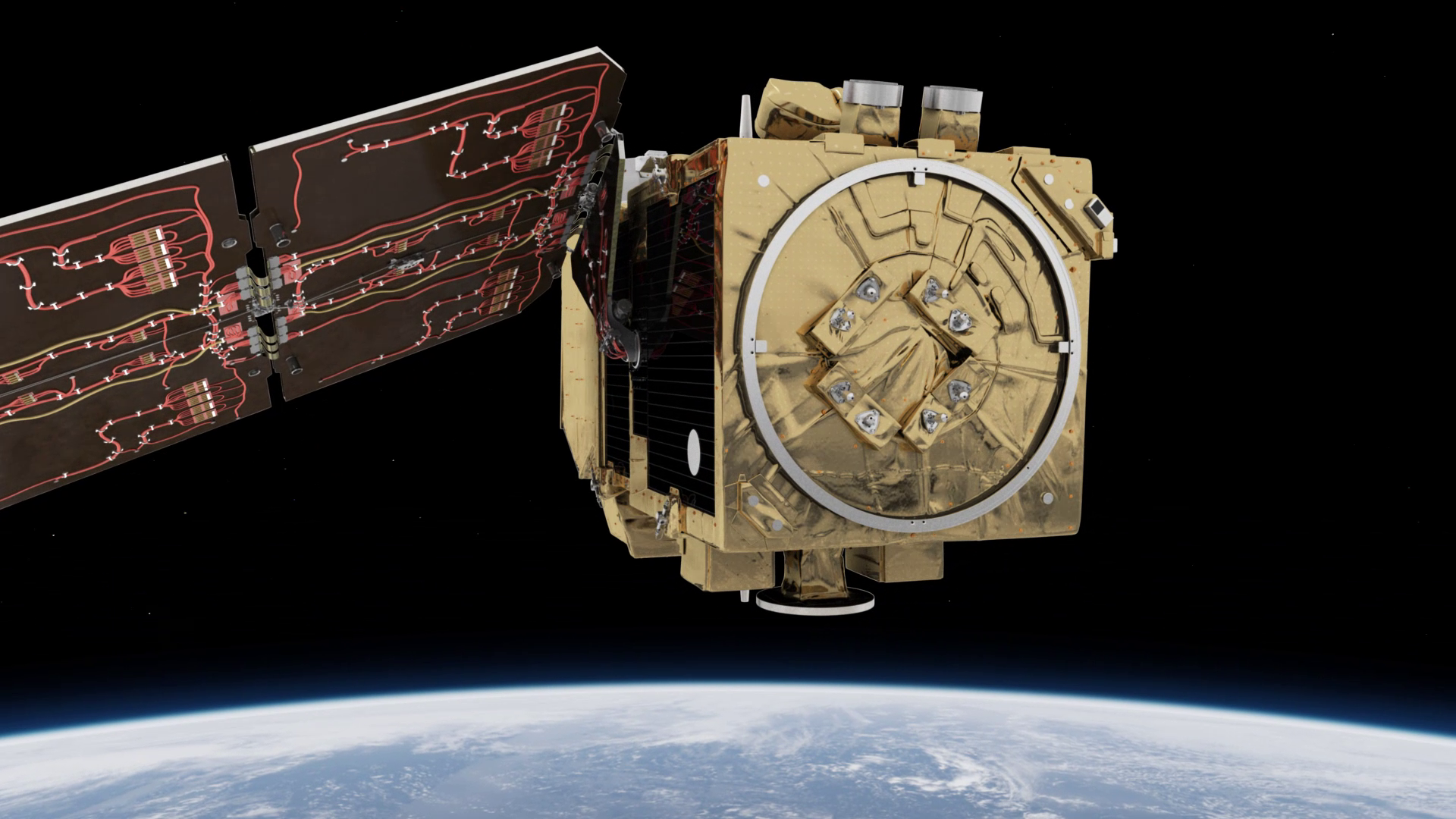
The mission is based on a constellation of two identical satellites in the same orbit, 180° apart for optimal coverage and data delivery. Together they cover all Earth’s land surfaces, large islands, inland and coastal waters every five days at the equator.
The mission mainly provides information for agricultural and forestry practices and for helping manage food security. Satellite images can be used to determine various plant indices such as leaf area chlorophyll and water content indexes.
This is particularly important for effective yield prediction and applications related to Earth’s vegetation.
As well as monitoring plant growth, Sentinel-2 can be used to map changes in land cover and to monitor the world’s forests. It also provides information on pollution in lakes and coastal waters. Images of floods, volcanic eruptions and landslides contribute to disaster mapping and help humanitarian relief efforts.
Sentinel-2 is the result of close collaboration between ESA, the European Commission, industry, service providers and data users. The mission has been designed and built by a consortium of around 60 companies led by Airbus Defence and Space, and supported by the CNES French space agency to optimise image quality and by the DLR German Aerospace Centre to improve data recovery using optical communications.
With its multispectral imager and wide swath coverage, the Sentinel-2 mission not only offers continuity, but also expands on the French Spot and US Landsat missions.
Sentinel-2A was launched on 23 June 2015 and Sentinel-2B followed on 7 March 2017. Once launched, the European Commission assumes ownership of the satellites.


