Cool technology of CryoSat-2
Just how are Earth’s icebound regions responding to a warming world? This question looms even larger now than it did in 2005, when ESA sought to answer it through the first CryoSat satellite.
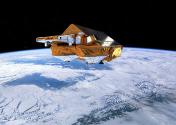
That spacecraft was lost through launch failure, but the nations of Europe recognised the effort could not be abandoned. A second satellite dedicated to measuring changes in ice thickness – the culmination of ten years of ESA endeavours – is therefore about to fly. Our collective future will be influenced by the rate that polar ice is melting, and CryoSat-2’s technology makes it best equipped to finally resolve this question.
Existing satellites, whether optical or microwave-radar based, provide useful overviews of ice extent in the cryosphere, where the influence of climate change is thought to be greatest. However, their results lack a vital extra dimension: they show where the ice is, but have no way of accurately estimating its mass, and how that mass changes over time. NASA’s ICESat used active laser ranging to measure ice-sheet thickness but its effectiveness was limited by cloud cover and laser problems – and all its lasers have now failed.

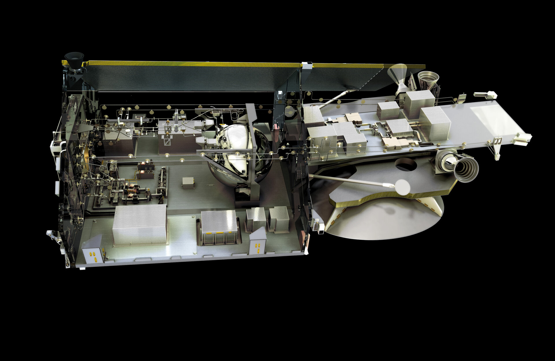
CryoSat-2’s primary payload is a radar altimeter, using the same ranging principle but with cloud-piercing radar instead of laser pulses. Sending thousands of radar pulses to the ground each second, it precisely measures the time it takes for their echoes to return. Providing the satellite’s position in space is known to a high accuracy, these data can be used to map the global ice surface to an accuracy of a few centimetres.
The first radar altimeter sensors were developed solely for ocean monitoring – detecting ocean currents and wave height – but later instruments flown on ESA’s ERS and Envisat missions proved successful at mapping land, ocean and the polar ice caps.
Revealing sea ice thickness
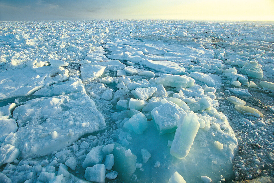
But the places where the real action is in climate terms – the rugged terrain at the margins of the great ice sheets where enormous glaciers spill into the sea – remain largely terra incognita to radar altimeters. Standard design averages out thousands of radar echoes returning each second to boost the overall signal to noise ratio, delivering a surface ‘footprint’ of around 1.6 km across – fine for the open seas they were devised for, but far too broad to discriminate between floating sea-ice floes and the water around them, or the irregular margins of land ice.
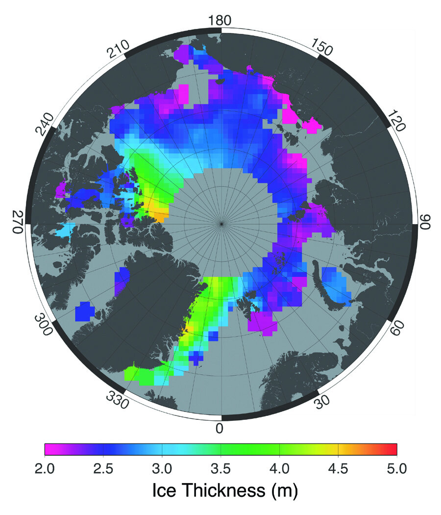
University College London developed a method to measure sea-ice thickness, ‘freeboard’ (the amount of ice protruding above the water) and extent from ERS altimetry data, but its usefulness was limited by the altimeter’s large footprint. It was a promising start, however, inspiring a team of scientists and engineers to imagine an instrument that could make better use of the technique, as well as possessing an improved ability to measure elevation over the ice sheet margins of Greenland and Antarctica.
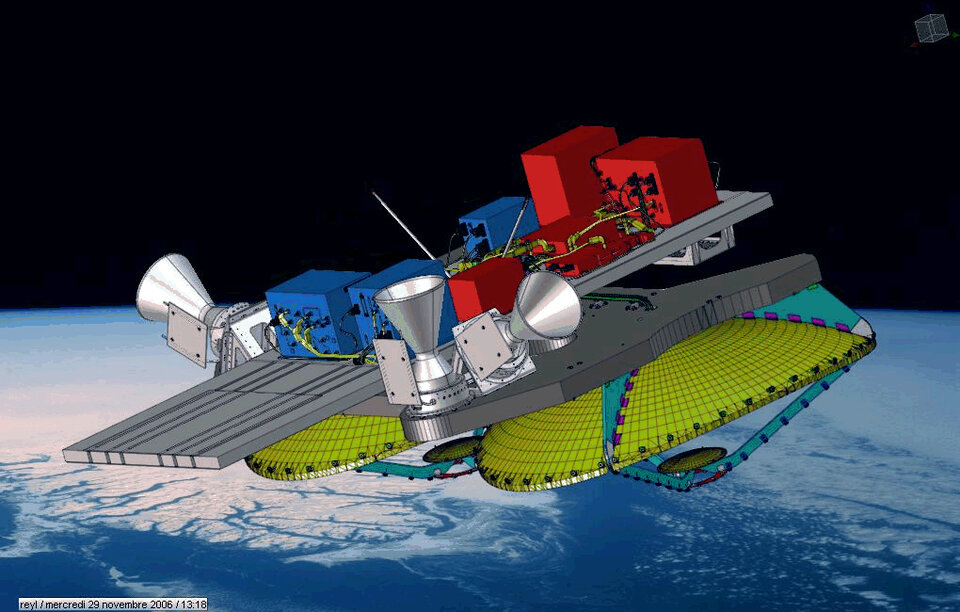
This was how what eventually became CryoSat-2’s SAR/Interferometric Radar Altimeter (SIRAL) would be born. Though long before any metal was bent or carbon-fibre cast, the principles behind the mission had to be developed and demonstrated.
“The unique high-level processing algorithms the mission employs were developed through an ESA study,” explained Robert Cullen, overseeing SIRAL-2 and CryoSat-2’s commissioning phase for ESA. “Lead Investigator Duncan Wingham led this effort prior to submitting the original mission proposal in 1998. The ESA study also included development of the instrument concept by a team from Thales Alenia Space.
“When the mission was given the initial go-ahead, Professor Wingham’s team at UCL already had the basis for developing a mission performance simulator, including a software model of the radar, quickly followed by the detailed on-ground science processing methods unique to CryoSat. By the time industry was brought in to build the operational ground systems in 2002, UCL had already generated key baseline processing methods, test scenarios and data to test the operational ground processing system.”
The mission employs two separate techniques to sharpen the vision of CryoSat-2’s altimetry over sea ice and land ice sheet margins. One improves the altimeter’s precision in the along-track (or direction of motion) direction while the second provides a further boost to the across-track (either side of the moving satellite) accuracy when needed.
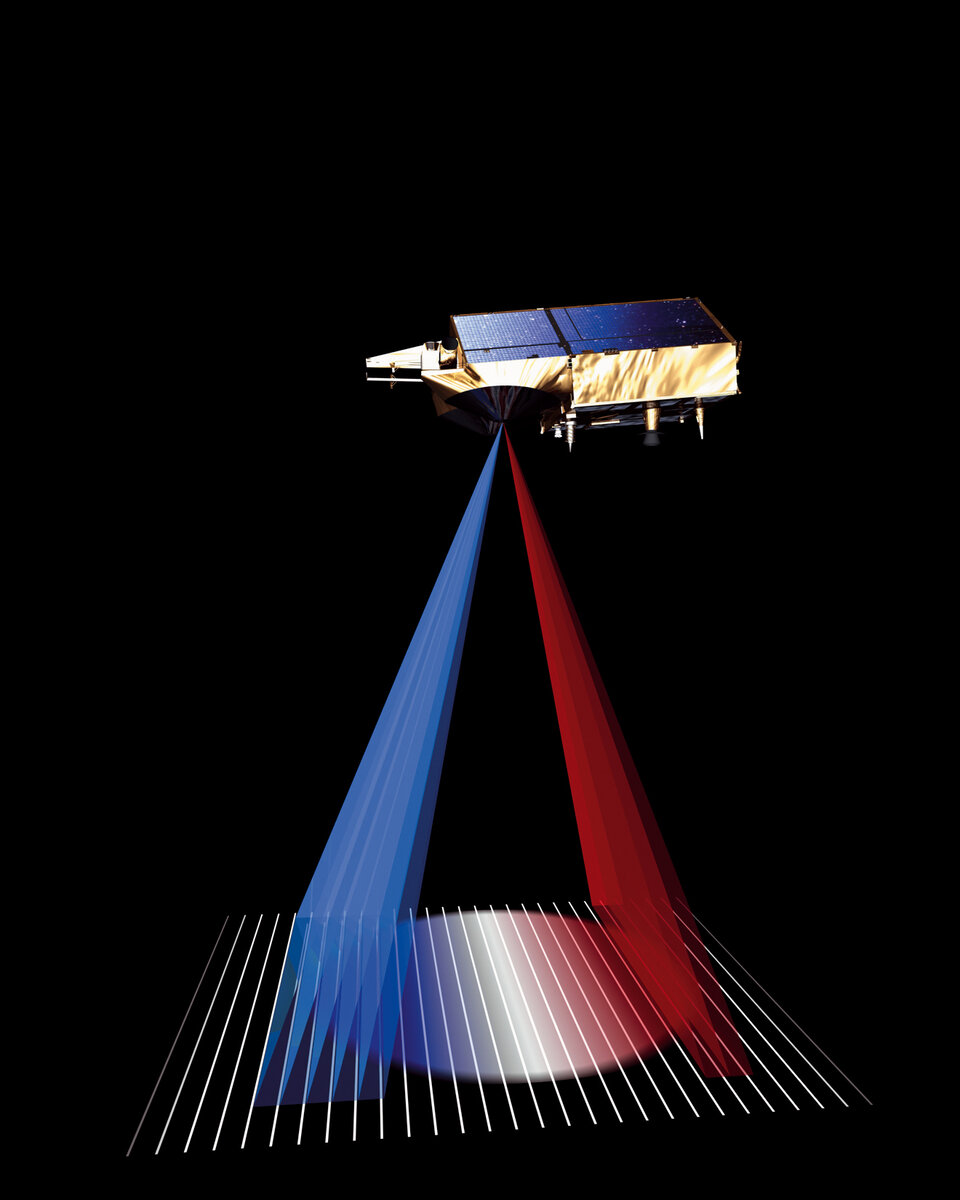
The first technique is called Synthetic Aperture Radar (SAR), a method more typically used to improve the resolution of satellite imaging radar. In SIRAL’s SAR mode, returning radar echoes are sorted into separate strips across its ground track based on slight frequency shifts caused by the Doppler effect induced by the satellite hurtling along at more than 7 km/s relative to Earth’s surface.
The altimeter’s along-track footprint is effectively divided into more than 60 separate beams with a resolution of around 250 m each, enough to differentiate many more ice floes from open water and often also the ‘leads’ (cracks) between them. For this method to work, the number of pulses sent per second has to increase tenfold, sending out a burst of pulses that can subsequently be processed together to provide a finer sampling of the surface compared with the traditional method used for the Envisat and ERS altimeters.
| This article continues... |
|
| Next |
|