Central European flood surges watched from orbit
ESA radar satellites are peering through rain clouds to monitor the fast-changing situation across central and southern Europe, where torrential rainfall this week has led to heavy flooding.
Hundreds of people were driven from their homes as Alpine valleys were inundated across Austria, Germany and Switzerland. Widespread flooding was also reported in Bulgaria and Romania.
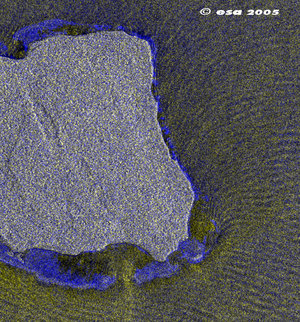
Large amount of water from Alpine valley flooding subsequently surged along central Europe's river valleys towards the coast on Wednesday. The Isar and Inn Rivers were among rivers reported to have seen heavy surges, along with the Danube River they flow into - where the flood threat remains serious.
A huge low pressure system above Europe caused the rains, and it is uncertain when they will end. Many areas have been badly hit, among them the state of Voralberg in Austria and Bavaria in Germany.
In Switzerland the canton of Lucern and capital Berne were among affected areas, and helicopters plucked stranded people from rooftops. Total damage is estimated to stretch into millions of Euros.
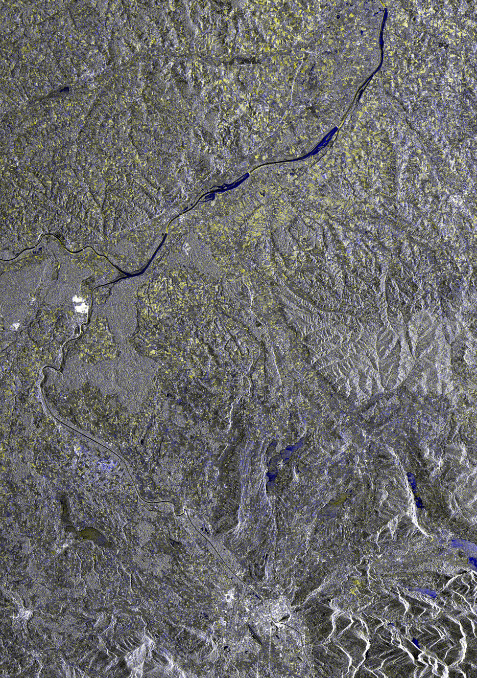
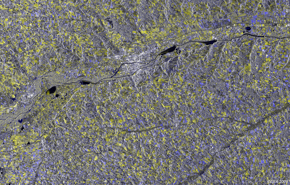
Flooding is estimated to be the world's most costly kind of natural disaster. With inundated areas typically visible from orbit, Earth Observation is increasingly being employed for flood response and mitigation.
On 25 August the Swiss Federal Office for Civil Protection formally activated the International Charter on Space and Major Disasters, meaning that member space agencies will prioritise delivery of satellite images and maps to support disaster response within the country.
ESA is a founder member of the Charter, which represents a joint effort by global space agencies to put resources at the service of rescue authorities responding to major natural or man-made disasters. To date since 2000 the Charter has been activated more than 80 times.
Meanwhile the Centre for Satellite-Based Crisis Information (ZKI) of the German Aerospace Center (DLR) plans to make use of ESA satellite data to produce information products covering German territory.
Satellite imagery is routinely used as an input for regional German flood forecasting centres serving the Upper Rhine and Mosel River Basins. Munich-based reinsurer Swiss Re has also recently participated in an ESA Earth Observation Market Development (EOMD) project with Earth Observation specialists VISTA in Munich and SERTIT in Strasbourg to investigate how satellite imagery can better document past disasters and improve the accuracy of risk models used to set insurance rates.
Flood risk analysis is also among the services offered by the Risk-EOS initiative, which offers Earth Observation-based services for flood and also fire risk management.
Risk-EOS services include historical flood mapping from archive data, and potential damage assessment, initially for the Elbe River Basin in Germany and the River Basin in Sweden, with the aim of expanding its coverage cover time. A flash flood awareness service is also currently being pioneered in France's Entente Region.
Risk-EOS is part of ESA's initial Services Element of Global Monitoring for Environment and Security (GMES), a joint initiative between ESA and the European Commission to develop a global monitoring capability for Europe harnessing all available ground- and space-based data sources.