ESA aids fight against a global killer
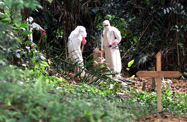
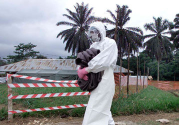
The scourge of malaria – which affects 300 million people worldwide and kills up to 1.5 million people annually – is a key focus of a new ESA project called Epidemio.
The disease’s incidence is influenced by local climate, so satellite data has the potential to help forecast malaria outbreaks.
"We know from our experience on the ground that increases in rainfall and temperature will lead to an upsurge in malaria cases as mosquito numbers rise in response," said Jean-Pierre Meert of the World Health Organisation (WHO). The organisation is leading a global partnership called Roll Back Malaria aimed at halving malaria cases by 2010, distributing countermeasures such as bednets.
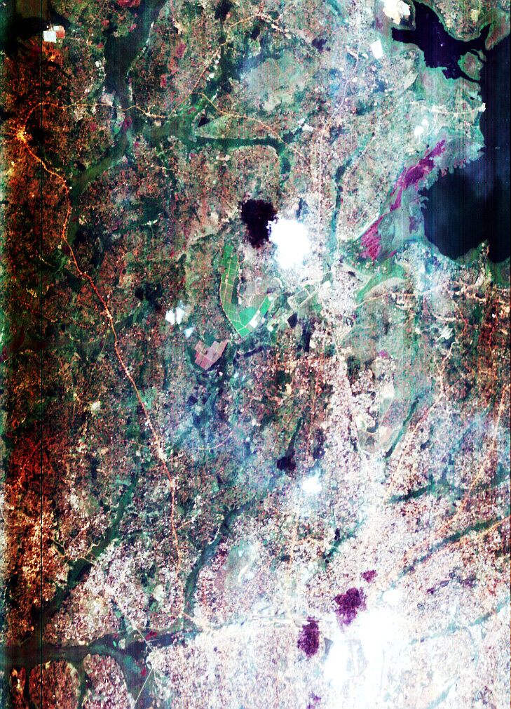
ESA will provide maps of water bodies - updated through the wet and dry season – as well as digital elevation models and weekly land surface temperature maps. Water mapping is especially useful for malaria risk mapping as mosquitoes begin life as aquatic larvae and adults rarely travel more than 2km from their breeding site in their two to three week lifetime.
This is very important in areas prone to malaria epidemics, where local environment factors are key influences on the character of outbreaks. In the Sahel region of Africa for example, climate and temporary water bodies play a large role in determining the pattern of the malaria season.
In Niger, ESA will be assisting the locally-based Centre de Recherche Médicale et Sanitaire (CERMES) in this area, who work in turn with the assistance of France’s University of Marne la Vallée. The objective is to better quantify the links between environment and malaria transmission by area. Combining this data with climate forecasting should make it possible to determine areas of greatest risk of malaria epidemics and take action accordingly.
As temperature decreases with increased altitude, so mosquito and malaria incidence goes down too. This leads to a situation where African highlands populations in countries like Ethiopia, Kenya and Uganda are seldom exposed to malaria, and so fail to acquire any natural immunity. But when weather conditions are such that the disease extends its grasp higher than usual, serious epidemics may occur.

An international project called the Highland Malaria Project (HIMAL) is building an epidemic early warning system for the East African highlands, in which EO data will play a part. Partners include the London School of Hygiene and Tropical Medicine, the Ministries of Health of Kenya and Uganda and Oxford University.
"Our project has two linked objectives: to develop an epidemic early detection system once an epidemic has occurred and to develop an epidemic prediction system well in advance an epidemic actually happening," said Tarekegn Abeku of the London School of Hygiene and Tropical Medicine. "We have been developing a system of surveillance in which morbidity data are collected and compiled weekly at our 20 sentinel health facilities. District health management teams then use specially developed software for automated analysis of the current malaria situation."
For the prediction side of the HIMAL system, field workers monitor mosquito densities on a weekly basis and automatic weather stations monitor rainfall, temperature and humidity. The plan is to develop a prediction model by relating malaria cases and mosquito densities to weather variables. Ground station data will also be used to calibrate satellite data to be made available through Epidemio.
"Further modelling will be carried out using remote sensing data with the other variables in order to validate their use in predicting epidemics," Abeku added. "EO could be used in combination with ground-based malaria surveillance information for malaria early warning on a wider geographical scale, including those areas without any ground meteorological data."
The highlands of Madagascar are also prone to malaria epidemics, caused by the mosquito Anopheles funestus, dependent in turn on local rice fields. The Pasteur Institute of Madagascar is constructing a software tool named SIGREP (the initials in French stand for 'Geographic Information System of Malaria Epidemic Risk') that combines data including land elevation, rainfall and the location of rice field areas.
The SIGREP system is being integrated with a clinical and parasitological early warning system, developed in co-operation with the Ministry of Health and Italy. The intention is to target house-spraying campaigns to locations where highest mosquito densities are anticipated.
About Epidemio
Part of ESA's Data User Element and commencing in January 2004, the Epidemio project is intended to develop Earth Observation services for epidemiologists, with a particular concentration on Africa.