ESA highlights contributions of space imagery to disaster relief
Speaking at the annual meeting of an international association working to integrate information technologies for disaster-relief efforts, Stephen Briggs, head of the Earth observation applications for the European Space Agency (ESA), pointed to the Agency’s satellite imagery and other programmes as ways space technology can be used to mitigate the effects of natural and man-made disasters.
“ESA is about space, but not just as a technical activity,” he said. “We’re looking to exploit space technology and bring the benefits to mankind.”
Briggs described ESA’s contribution of imagery from its satellites to the International Charter on Space and Major Disasters, an international collaboration to put satellite remote-sensing technology into service for rescue authorities and other civil protection agencies.
Together with ESA, the French Space Agency, the Canadian Space Agency, the Indian Space Research Organization, and the US National Oceanic and Atmospheric Administration have agreed to contribute satellite imagery from a constellation of systems, including RadarSat-1, SPOT, ERS-2, IRS, POES and GOES. The Charter was set up in the framework of the 1999 UN UniSpace III conference and implemented in November 2000.

“The Charter is making available to civil-protection agencies various type of space services, including Earth observation data, emergency telecommunications, precise location and navigation data,” Briggs said. “It ensures free access to satellite data by relief agencies.”
Russia, China, Brazil, Argentina and Japan have expressed interest in joining the international collaboration, the ESA executive added.
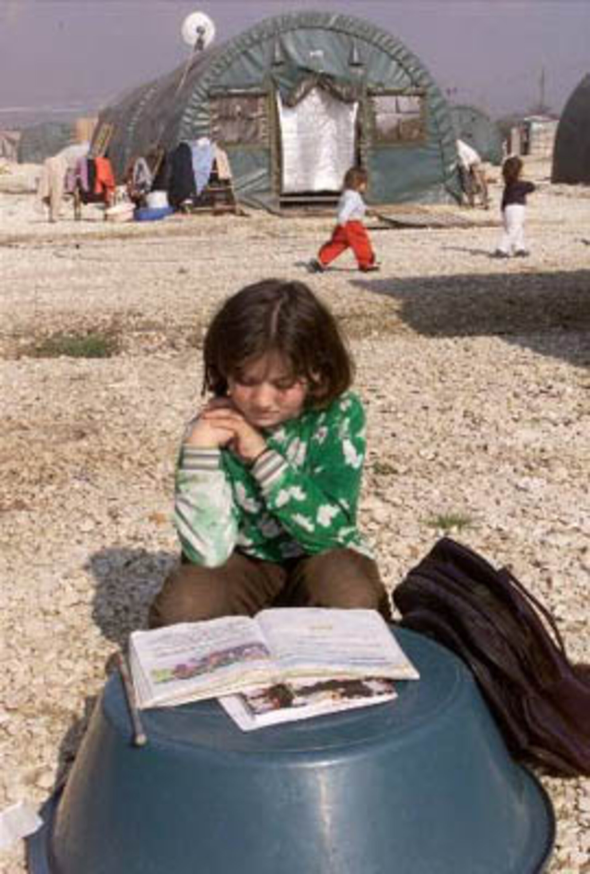
Since its inception, the Charter has been activated 20 times in emergency situations including earthquakes, oil spills, mudslides and volcanoes. To activate the system, authorized users can call a dedicated phone line and mobilize the space assets and associated ground resources. Authorized users consist of emergency relief and rescue organizations in the countries whose space organizations are Charter members. Other agencies, including the UN High Commissioner for Refugees, potentially can play key roles as cooperating agencies under the Charter.
Signatories have provided satellite imagery Charter activations to help mitigate a variety of man-made and natural disasters to date, including:
Supporting rescue operations after a landslide in Slovenia, in the first Charter activation, November 2000;
Providing imagery to rescue organisations following a series of earthquakes in El Salvador in January and February 2001;
Monitoring and tracking an oil spill in the Galapagos, January 2001;
Acquiring and delivering imagery to civil-protection teams in less than 24 hours when floods hit the Meuse river basin in northeast France, in January 2002;
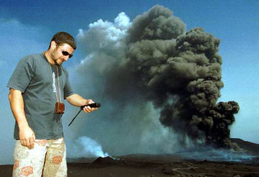
- Plotting lava flows and developing maps to deliver food and medical supplies, along with determining safe evacuation routes for refugees, following the eruption of the Goma Volcano in the Democratic Republic of the Congo, February 2002.

“These incidents, along with the increase in the recent number of calls to activate the Charter, are clear indicators of the growth in awareness of the availability and usefulness of imagery data from space,” Briggs said.
The ESA official offered his comments to approximately 150 participants at the 5th annual conference of the Global Disaster Information Network (GDIN), held in mid-June in Rome, Italy. GDIN is an international non-profit association devoted to assisting disaster managers in finding the information they need in dealing with natural or technological disasters.
“We are an association of experts committed to finding better ways to share information,” Larry Roeder, GDIN executive director, told the conference. “GDIN’s mission is to get the right information to the right people at the right time.”