
ESA maps satellite help for gorilla guardians
A joint ESA/UNESCO project to protect African gorillas with data from space is entering its second phase, an official from a conservation programme told an ESA workshop.
Known as BEGo, for Build Environment for Gorilla, the project will provide Earth observation imagery and products to conservation groups and authorities that are monitoring and protecting the habitats of mountain gorillas in national parks located in Uganda, Rwanda and the Democratic Republic of Congo (formerly Zaire).
Data from ESA satellites will help produce maps, detect changes over time in how land is used, and create three-dimensional digital elevation models of the terrain, according to Maryke Gray, regional monitoring officer with the International Gorilla Conservation Program (IGCO).
Speaking to a workshop held in late January at ESA's ESRIN facility on the Treaty Enforcement Services using Earth Observation (TESEO) effort, Gray said the space-based maps and analytical tools will allow better insights into the gorillas’ habitats than possible with only on-the-ground inspections.
"The advantages of remote sensing is that it allows us to monitor extensive areas and monitor remote regions with difficult access," she said.
Analysis of land-use changes will be employed, for example, to study habitat areas that are being deforested for agriculture, assess the impact of refugee camps at park boundaries and analyse how volcanic activity affects the vegetation in the areas of interest.
Joint ESA-UNESCO agreement
BEGo is a follow-on programme to a joint ESA-UNESCO agreement signed in 2001 for a bilateral project in support of the World Heritage Convention to demonstrate remote-sensing methods in east and central African habitats. This pilot project, Surveillance of Gorilla Habitat (SOGHA), also was designed to support the creation of a UNESCO remote-sensing unit at WHC, along with capacity building in the African countries, Gray said.
Under BEGo, detailed maps will be created at a 1:50 000 scale, compared with the 1:200 000-scale maps provided under SOGHA. Layers of geographical and other features will then be added to incorporate such features as altimetry to create topological maps, roads, settlements, park boundaries, and vegetation types.
While the Earth observation data, maps and land-use analyses highlight the advantages of space-based data, Gray said, there are limitations to what can be accomplished as far as detecting direct threats, such as poaching, to the gorillas. "Clearly remote sensing cannot substitute for all activities," the conservation official said.
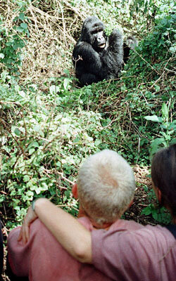
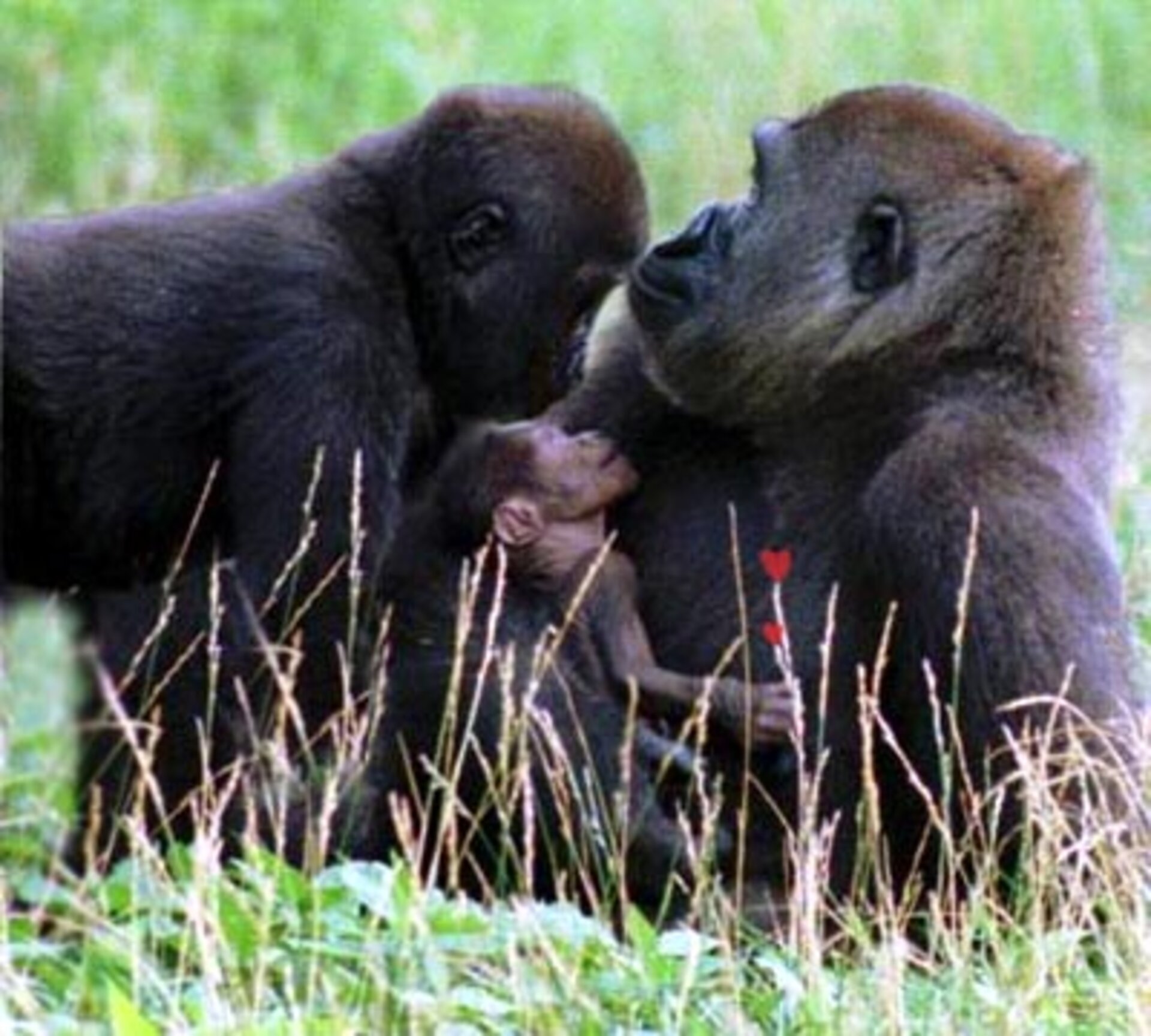
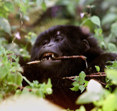
Such threats to the endangered mountain gorillas – brought to the attention of the world by the work of the late primatologist Diane Fossey – are an ever-present reality to the conservation officials and national authorities working to preserve them.
In late January, three Rwandan poachers were convicted of killing two mountain gorillas and stealing a baby one, according to recent Reuters news story. The poachers had planned to sell the baby abroad and had stolen it in May, killing the two female adults protecting it. In a separate incident in October, poachers killed four other gorillas living along the Rwanda-Congo border, news reports stated.
"Cautious optimism" over gorillas' future
But thanks to the efforts of IGCO and other conservation groups, there is room for cautious optimism that the gorillas’ numbers are on the increase. According to estimates from the World Wildlife Fund, one of ICGO’s parent organisations, groundbreaking work by conservation groups has helped the population grow from 620 in 1989 to approximately 674 as of last October.
Two of the gorillas’ habitats, the Congo’s Virunga National Park and the Bwindi Impenetrable National Park in Uganda, have been designated World Heritage sites. The two other habitats in Rwanda and Uganda are under consideration for the designation.
The involvement of UNESCO and the World Heritage Convention is part of a broader plan to use Earth observation data more fully in monitoring the risks to the man-made and natural sites that have been deemed to have "outstanding universal value," explained Mario Hernandez, head of UNESCO’s Information Management Programme, at the TESEO workshop.

On request, ESA is currently providing Earth observation data for World Heritage sites of interest. In the ESA-UNESCO partnership, Hernandez added, "we are looking to ESA for the scientific tools for monitoring the sites and warning national authorities about risks to the sites."
Additional negotiations and discussions are underway with other space agencies and national authorities, including NASA, India, Canada, Australia, Brazil and France, to establish similar arrangements for satellite data.

