
Plans finalised for satellites to help safeguard gorilla habitats
A project to employ Earth Observation products to help protect endangered mountain gorillas has moved forward with a Paris-based gathering of all those who will use the data in Central Africa's remote rainforests.
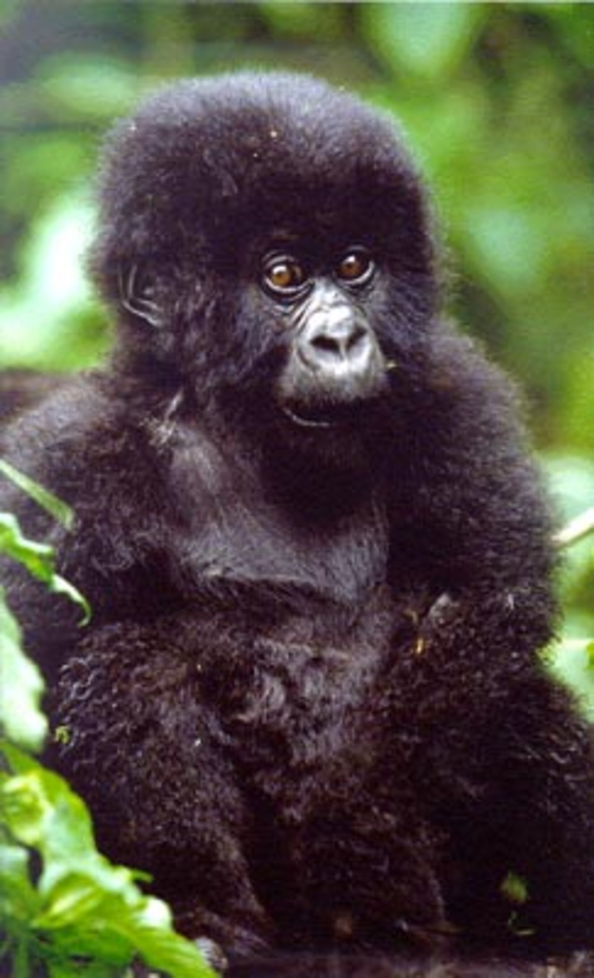
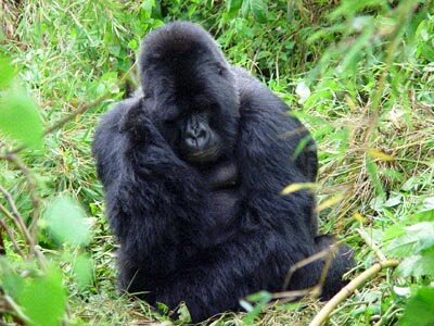
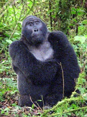
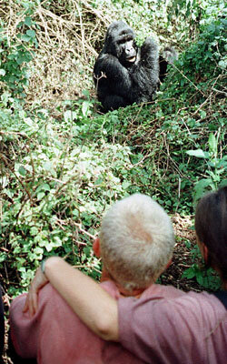
Humans have proved to be bad neighbours to the beleaguered mountain gorilla, of whom only a few hundred are thought to remain alive. The gorillas dwell in the high rainforests of Rwanda, Uganda and the Democratic Republic of Congo, concentrated in a set of national parks across all three countries. But deforestation and illegal poaching render these habitats - and the gorillas’ survival - under threat.
The United Nations Educational, Scientific and Cultural Organisation (UNESCO) recognises these parks as World Heritage Sites. However, although they are protected, years of regional unrest and the subsequent arrival of refugees are encroaching on these sites, with people clearing forest-land for agriculture or fuel.
A joint ESA/UNESCO project called BEGo – for Build Environment for Gorilla – commenced last April with the intention of providing satellite imagery and products of these sprawling and often inaccessible habitats to conservation groups and local authorities working to protect them.
A three-day BEGo workshop took place last week at the headquarters of UNESCO in Paris.

Gathered there were gorilla conservation experts from the International Gorilla Conservation Programme, the Wildlife Conservation Society and the Dian Fossey Gorilla Fund International as well as the Institut Congolais de Conservation de la Nature.
Also present were representatives from the United Nations Great Ape Survival Project (GRASP) and authorities from the Virunga National Park in the Congo, bordering Rwanda and Uganda.
They met with representatives of ESA and UNESCO as well as technicians from Synoptics, the Dutch-based company tasked with delivering BEGo data.
The discussions covered several operational aspects of the project such as consolidating the user requirements – including settling the type of geometrical projection to which all satellite-based products have to be standardised – and organising the ground data collection campaign.
"What will be of great value to everyone working in this area is that we will all be working from the same set of reliable geo-referenced charts," said Professor H. Dieter Steklis of Rutgers University, Chief Scientific Director of the Dian Fossey Gorilla Fund International. "It will make cross-collaboration and the complex analysis of data from multiple sources much more practical."
Such standardisation enables all results to be inputted into standard geo-information system (GIS) software so different data sets can be assimilated, like overlaying different maps together to learn more about a given location.
The Dian Fossey Fund already uses GIS to model gorilla movements, habitats and environmental factors, with inputs of GPS co-ordinates gathered by forest patrols on gorilla locations and poaching activities. But the GIS is currently based on old maps dating back as far as 1936. BEGo will create new maps on a 1 to 50000 scale to serve as a more accurate GIS basis.
"Great stress has been placed on the importance of more accurate maps for the conservation effort," explained Mario Hernandez of UNESCO. "Using GPS technology local users can collect co-ordinates of places where gorillas are dwelling – but right now, when they try and plot these sites on a map, the map turns out to be wrong.
"Even the precise national and park boundaries are uncertain down on the ground. There are settlers who are living within a park who claim they are in fact outside it. Accurate maps will significantly assist the authorities in discussing the boundaries with local communities to settle current disputes."
Agreement was also reached on what kind of vegetation classes will be derived from a ten-year satellite archive, to help understand how the habitats have been affected during the last decade, and the effect this has had on the gorillas themselves.
"Obtaining detailed vegetation classification maps across the area is something we at the Dian Fossey Fund are very interested in," said Steklis. "It will help answer outstanding research questions about how the gorillas move through and make use of their environment, what the maximum carrying capacity of the habitats are and how they are changing over time. This information is obviously also of use to local authorities charged with looking after the gorillas."
The need to create an improved-resolution Digital Elevation Model (DEM) from satellite imagery was also stressed. In the Virunga National Park in the Democratic Republic of Congo, for instance, the terrain varies from sea level to altitudes close to 5000 metres. Up until now, the same 1930s-era maps have been the basis of existing DEMs, with a few select areas also covered by Space Shuttle radar data gathered during the mid-1990s.
This year ESA and UNESCO formalised with a signature a wider initiative for the use of space technologies to support the World Heritage Convention. Other space agencies have joined this initiative: for instance, the Belgian Federal Science Policy Office intends to use space technologies to map all World Heritage Sites within the Democratic Republic of Congo. It was announced at the workshop that data and expertise would be fully shared between this project and BEGo.
Another piece of news shared at the workshop is that results from the latest ground inventory of mountain gorilla numbers should be available soon. The previous such effort indicated that the gorilla population showed a slight increase during the last decade, up from 620 to around 677, suggesting that conservation efforts are paying off.
Following this workshop, the first BeGO products are due for delivery to users from early next year.
