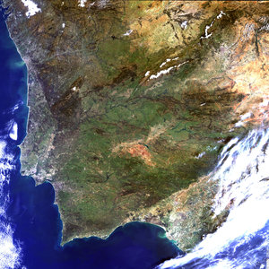
Portugal – MERIS – 21 March 2002
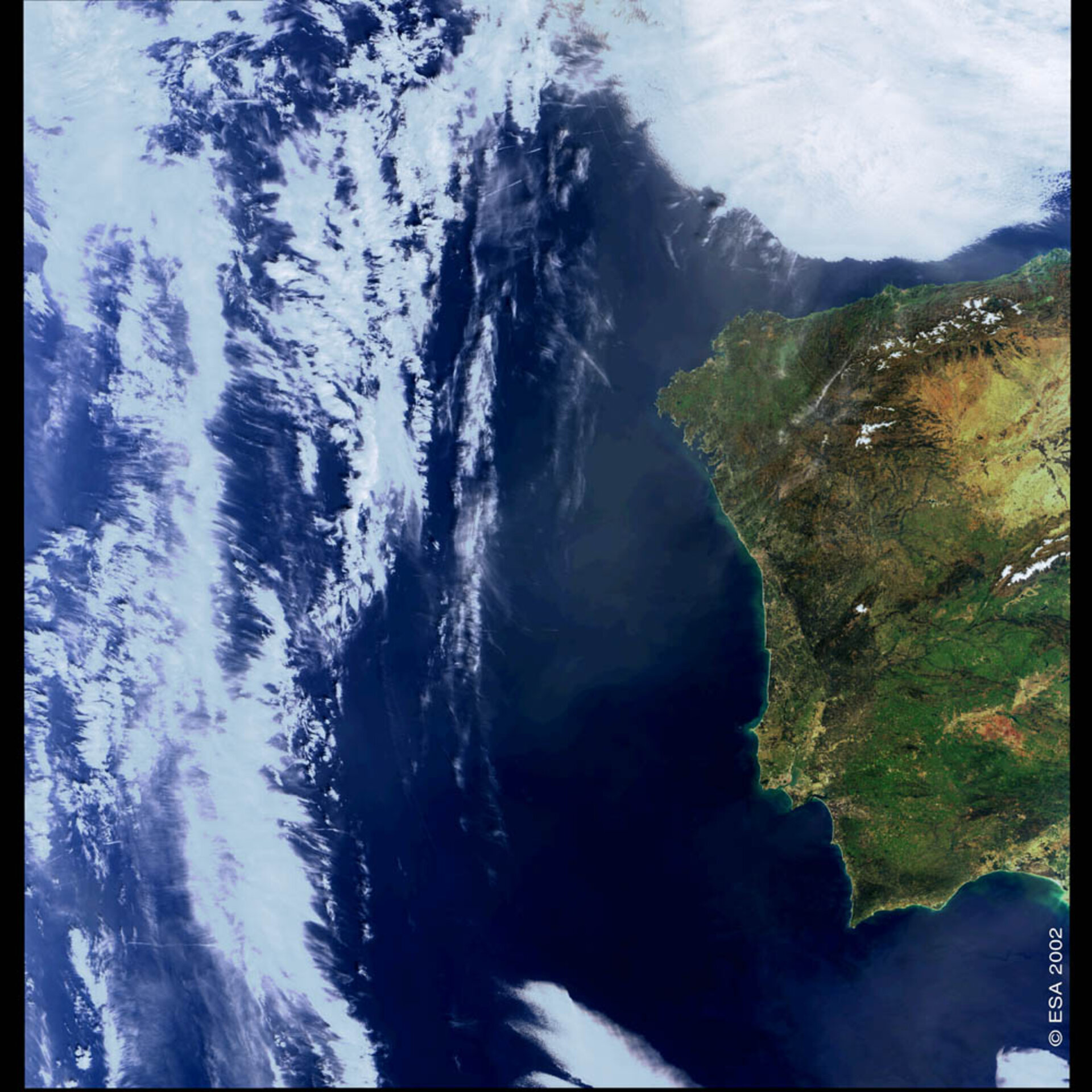
Lisbon and the surrounding area, including western Spain, are visible in this image.
Several hundred kilometres north of Lisbon is Serra da Estrela, Portugal’s highest mountain and covered with snow when the image was acquired. The Gulf of Cadiz, at the bottom right of the image, is green with sediments carried along by the many fresh-water rivers feeding into it, including the Guadiana River, which separates Portugal and Spain, and Spain’s Odiel, Tinto and Guadalquivir rivers.
Technical Information:
Instrument: MEdium Resolution Imaging Spectrometer (MERIS)
Date of Acquisition: 21 March 2002
Orbit number: 00306
Instrument features: Full resolution image (300-meter resolution).
With its 300-meter resolution imaging capabilities and outstanding radiometric accuracy, MERIS is a useful tool in better understanding the causes and consequences of deforestation, erosion, river pollution and other environmental threats.