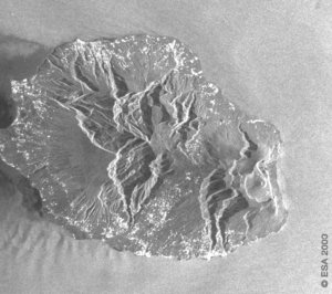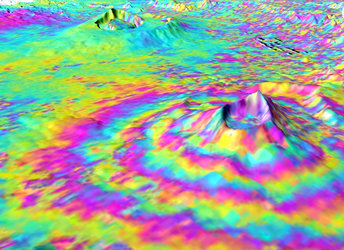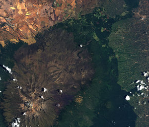
ASAR InSAR at Piton de la Fournaise
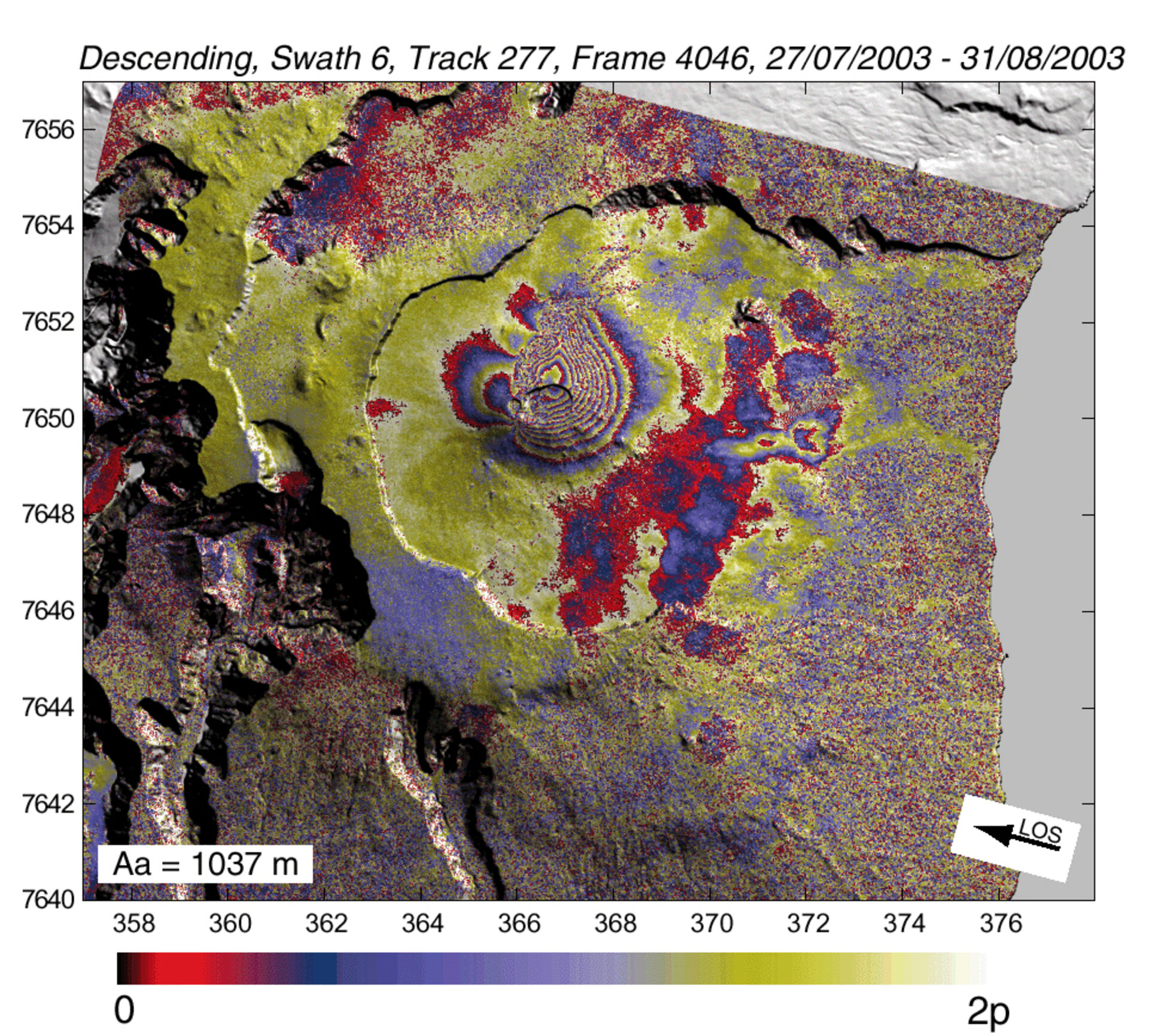
ASAR interferograms of the Piton de la Fournaise volcano exhibit clear fringes patterns centred on the Soufriere pit crater, on the external northern flank of the summit Dolomieu caldeira. The range change pattern is asymmetric with respect to the eruptive fissures. Up to 11 fringes occur in the area east of the fissures indicating a displacement of the ground towards the satellite of about 30 cm, while less than three fringes are visible west of the fissures indicating a displacement of the ground away from the satellite of about seven cm.
These displacements are interpreted as due to the propagation of a dike and to the opening of the eruptive fissures. The best-fit model is a 67° eastward dipping dike whose the bottom lies at around 1250 m a.s.l. (1350 m below the ground surface), and the top is connected to the eruptive fissures.
This new geodetic data confirm the well known seaward displacement of the eastern flank of Piton de la Fournaise. It also demonstrates the total efficiency and high potential of ASAR as a successor of ERS for interferometric applications.