Agency
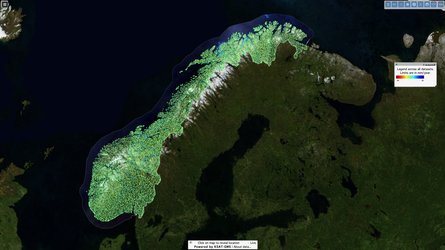
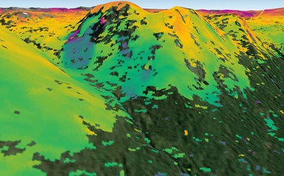
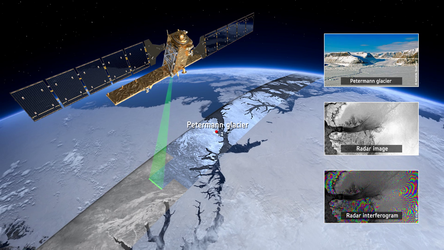
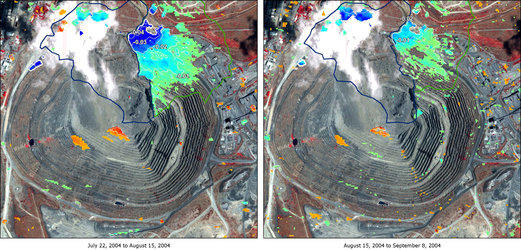
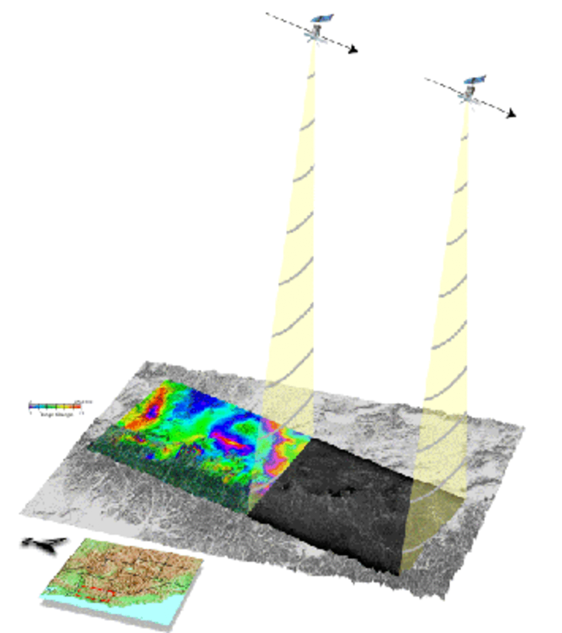
Using InSAR to look at ground deformation
A satellite passes over an area and records data about it. Two or more passes are needed to create the InSAR (Synthetic Aperture Radar Interferometry) images, used to examine changes in ground height.