Agency
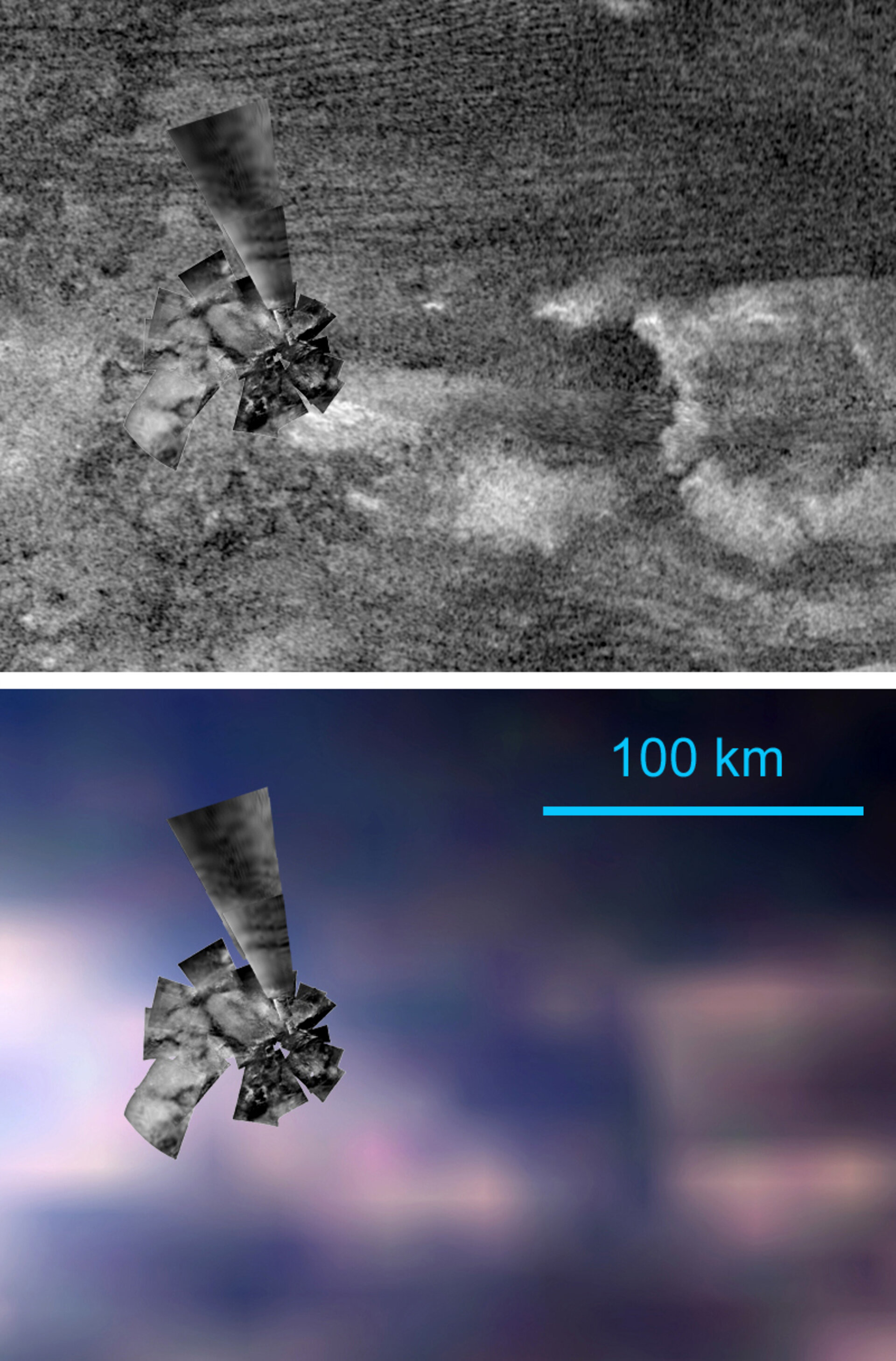
Overlaid Huygens and Cassini images of the landing area
This image of the Huygens landing region is composed of a special mosaic of the best images obtained by the Huygens’ DISR instrument, overlaid on Cassini’s SAR radar images (top) and on a Cassini’s VIMS image of the area (bottom).
In the top image, the landing site is located at about 30 kilometres south of the nearest dunes, visible as stripes at the top of the image.
In the bottom image, the bright feature on the background could be explained as fine-grained, water-free dust deposits from the atmosphere. These may have been washed out by methane rivers and floods in some areas, exposing a water-ice rich substrate visible in blue in the image.

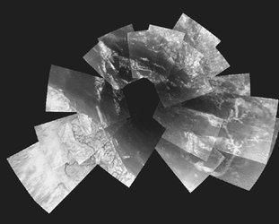
Huygens' view of Titan
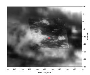
Titan landing site seen from Cassini

First 'best-guess' view of Huygens landing site
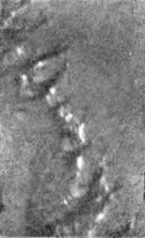
"Islands in the stream"... possible 'islands' on a d…