Applications
Recording forest characteristics
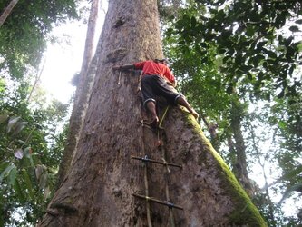
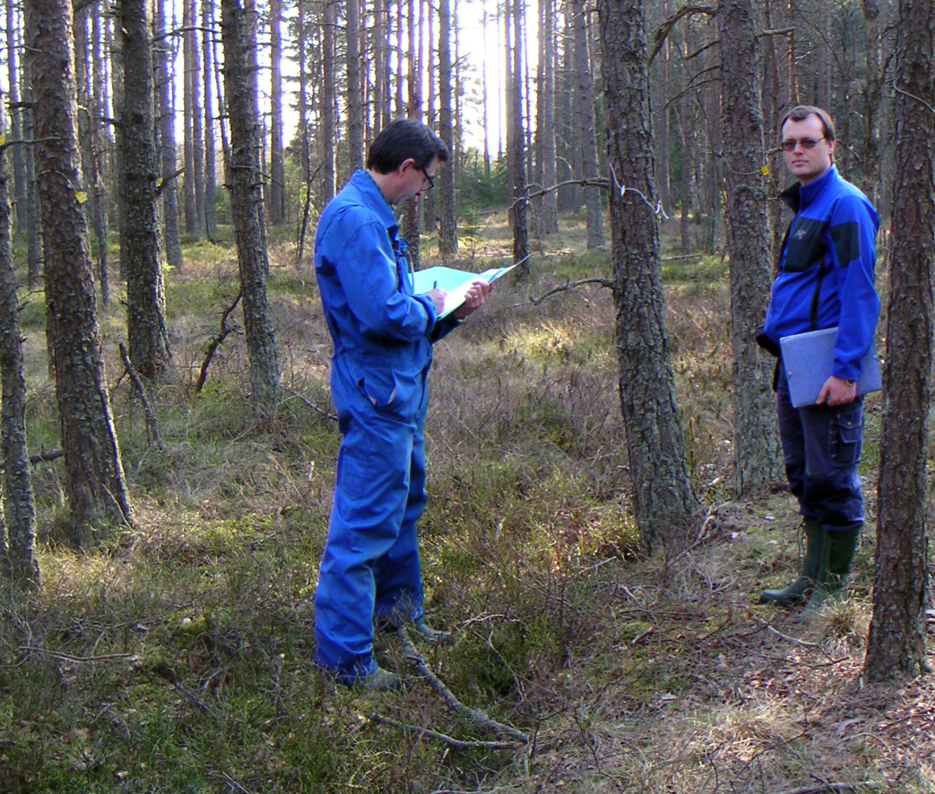
Activities on the ground included recording characteristics of the forest stands. These activities take place in parallel with the airborne acquisitions and are used to validate the airborne data and retrieval algorithms applied to the SAR images.