Agency
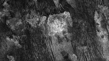
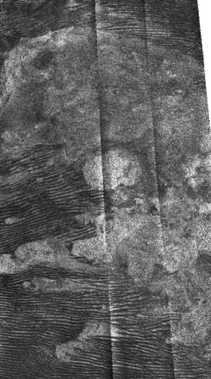
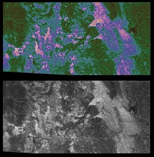
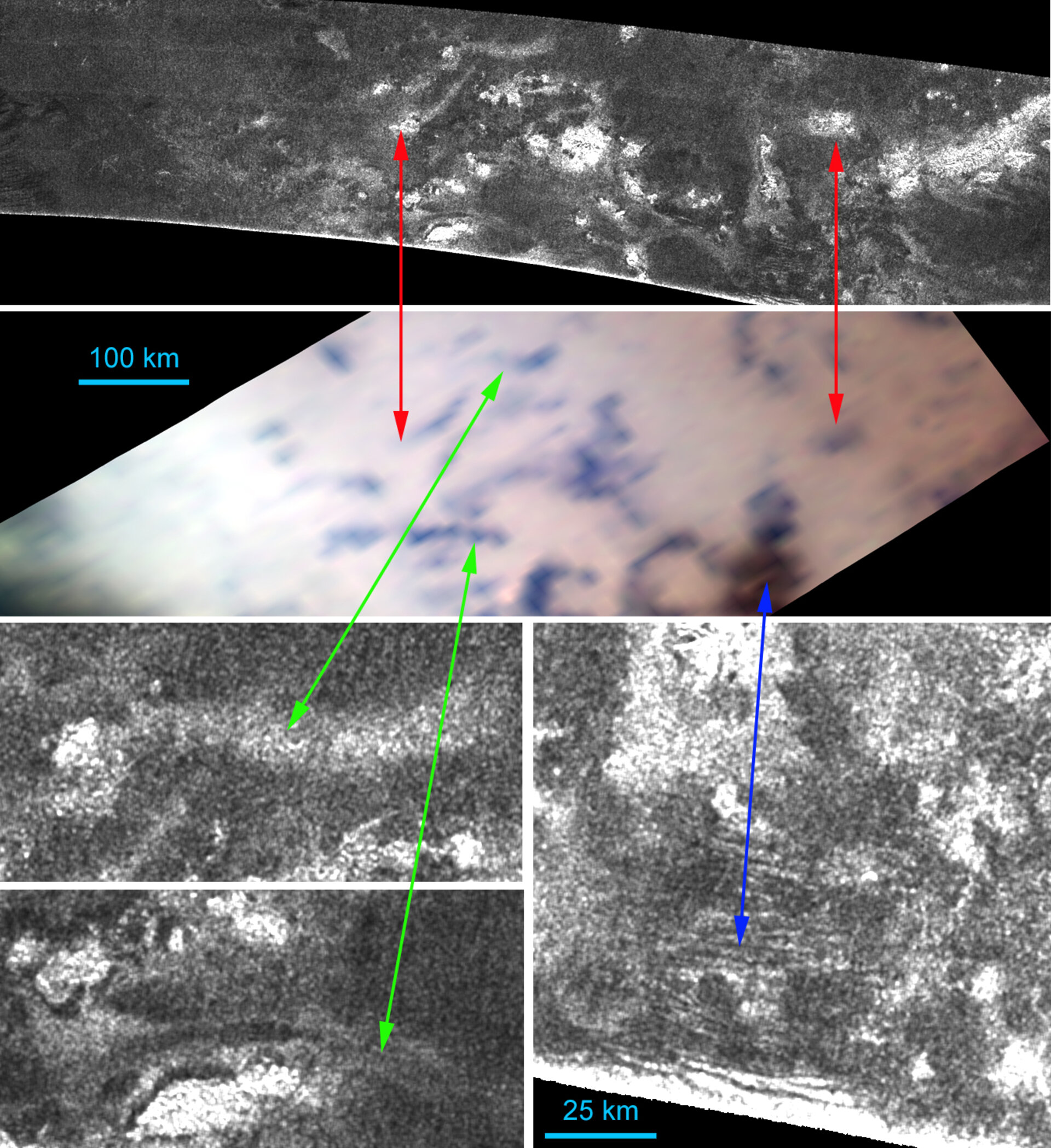
VIMS and radar surface correlation in a non-dune area of Titan
The first two images of Titan (from the top) were obtained by Cassini’s SAR radar and the VIMS imager, respectively. They cover an area about 300 by 1000 kilometres wide and centred at 20° North and 45° West in the Omacatl Macula region.
Dunes are generally rare in this area, even if some of them can still be seen in the enlargement provided by the bottom right radar image (blue arrow). These dunes are correlated to the brown spot visible in the VIMS image.
The green arrows linking the lower left radar image with the VIMS image illustrate that in this region the dark blue units are correlated to with sinuous channels and flow features.