Applications
The Gambia
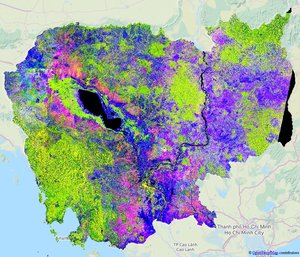
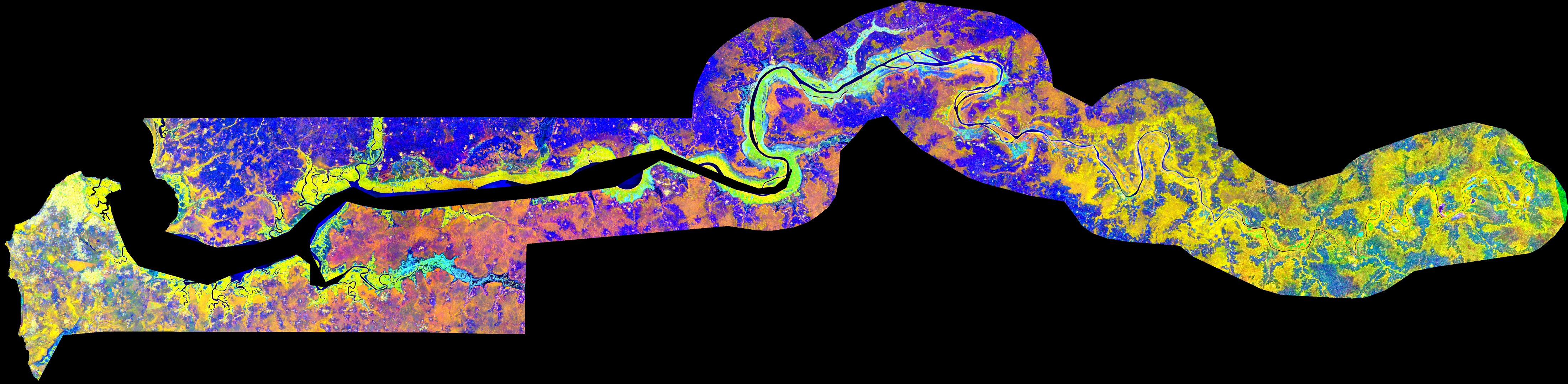
Colour composite of The Gambia from ALOS and Envisat radar data from 2010, used for agricultural monitoring. Yellow areas represent areas of stable vegetation or settlements, while blue areas are unstable – therefore depicting areas of agriculture.