Applications
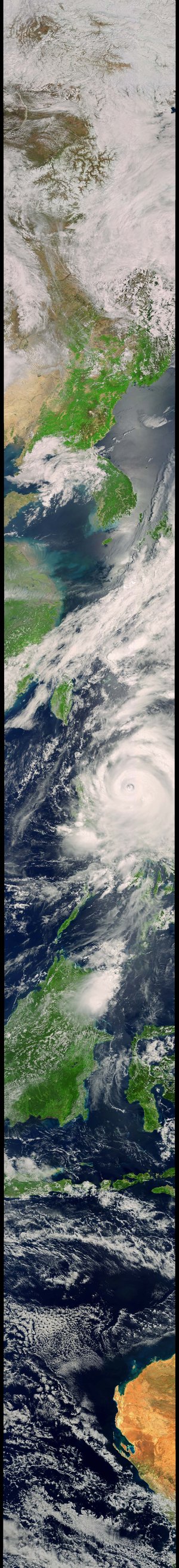
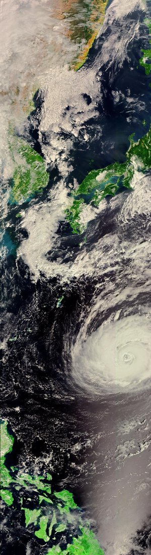
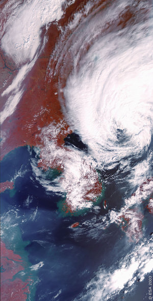
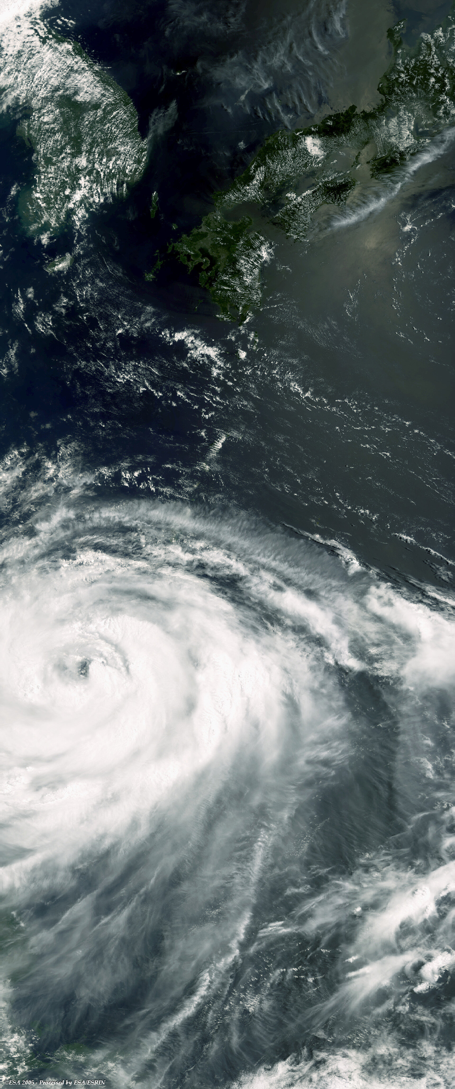
Envisat optical view of Typhoon Matsa on 4 August 2005
The Medium Resolution Imaging Spectrometer (MERIS) aboard Envisat acquired this image of Typhoon Matsa above the East China Sea on 4 August 2005 in Reduced Resolution Mode - providing a spatial resolution of 300 metres. An ERS-2 C-band scatterometer acquisition made the same day showed the wind fields powering the storm