Applications
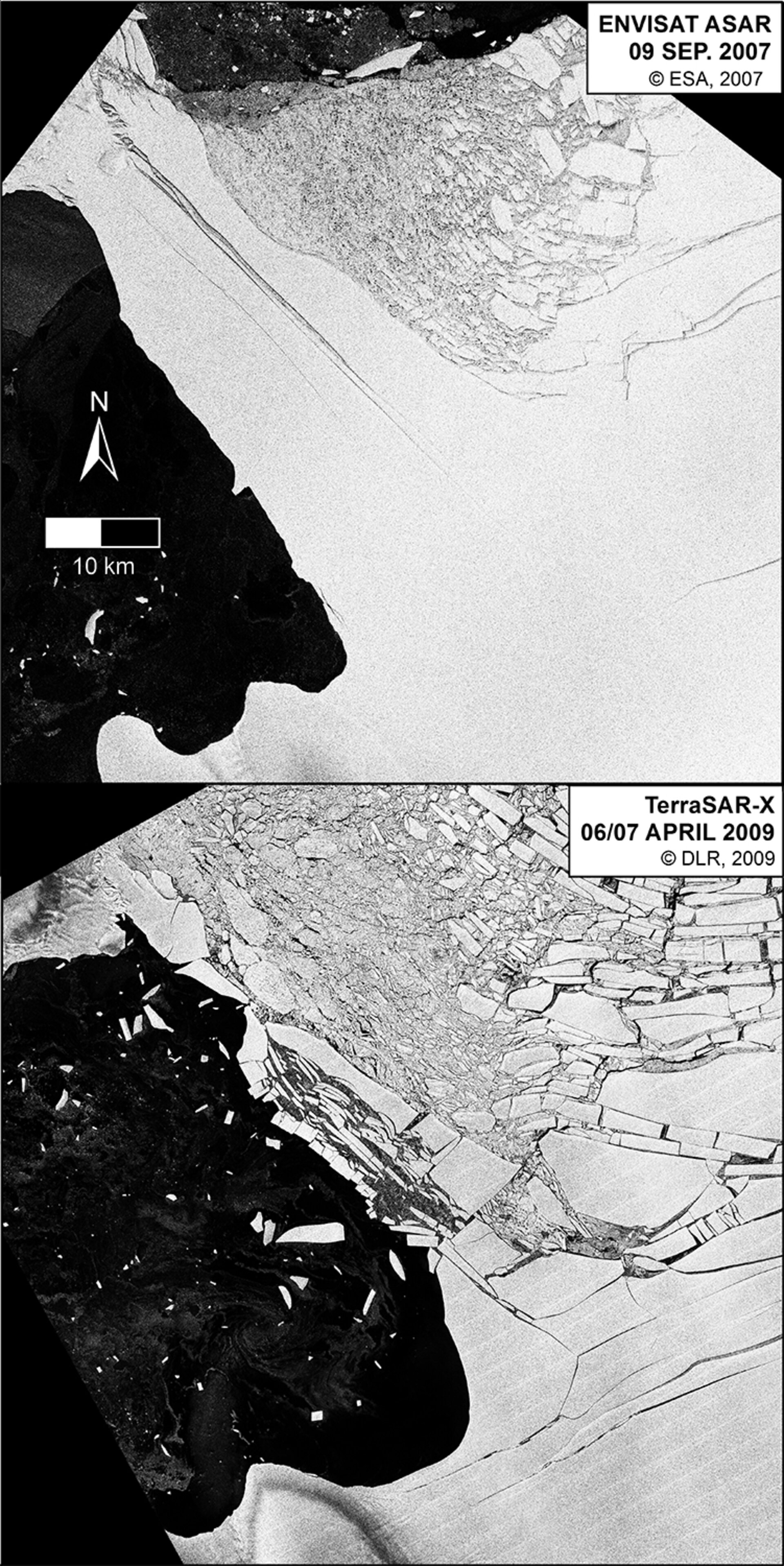
Ice bridge collapse
Collapse of the ice bridge that supported the Wilkins Ice Shelf using satellite imagery from ESA’s Envisat Advanced Synthetic Aperture Radar and the DLR German Aerospace Center’s TerraSAR-X.
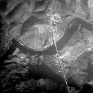
Millau bridge seen by Proba
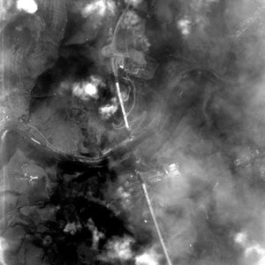
Millau bridge unfinished in March
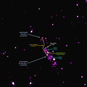
Bridge between galaxy clusters in Abell 2384 – radio…
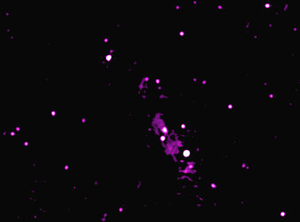
Bridge between galaxy clusters in Abell 2384 – radio view