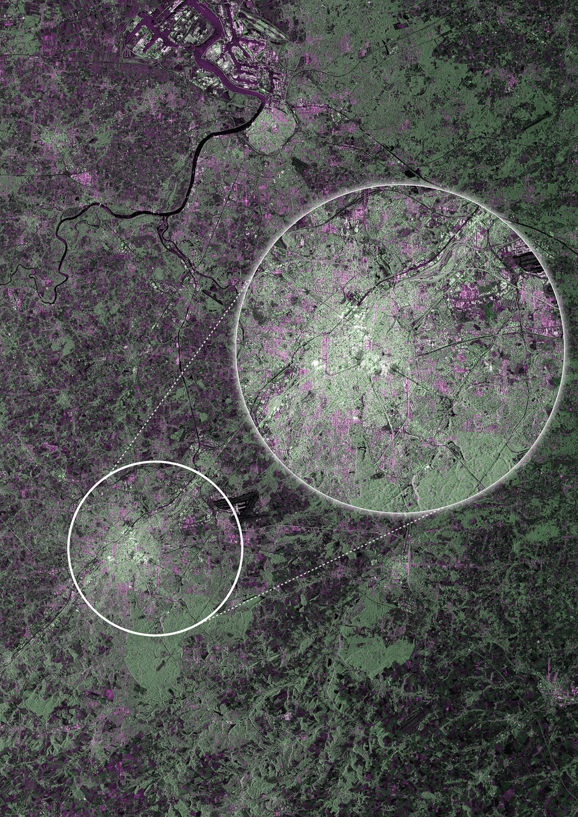
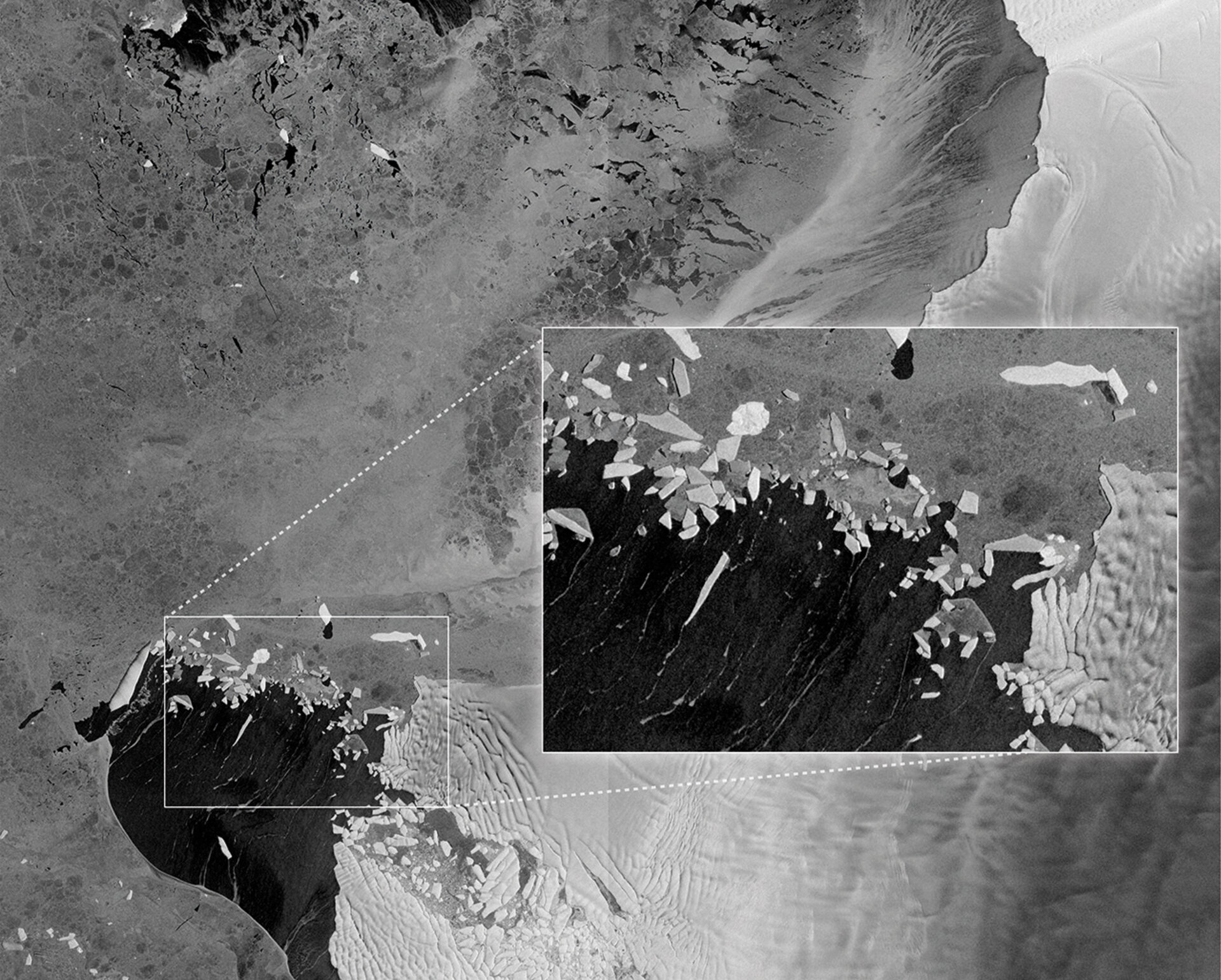
Sentinel-1 first images
Launched on 3 April from Europe’s Spaceport in French Guiana, ESA’s Sentinel-1A satellite has already delivered its first radar images of Earth. They offer a tantalising glimpse of the kind of operational imagery that this new mission will provide for Europe’s ambitious Copernicus environmental monitoring programme.
This first Sentinel satellite carries an advanced radar to scan Earth’s surface in all weather conditions and regardless of whether it is day or night. It will be used to care for many aspects of our environment, from detecting and tracking oil spills and mapping sea ice to monitoring movement in land surfaces and mapping changes in the way land is used. It will also play a crucial role in providing timely information to help respond to natural disasters and help humanitarian efforts.
The satellite is not yet in its operational orbit, nor is it calibrated for supplying true data. These tasks will be carried out during the commissioning phase, which will take about three months to complete.
This preliminary set of images showing Belgium, a flood in Namibia and Antarctic ice simply offer a taster of what’s to come.