ESA expands its Earth-exploring service
Since 2006 ESA has been making satellite images of Earth available to anyone wanting to explore the planet in near-real time. ESA has now added nearly 13 000 radar images to the service, bringing the number of viewing possibilities to about 58 000.
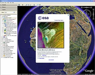
The MIRAVI service tracks ESA’s Envisat satellite around the globe, generates images from the raw data collected by its instruments and provides them online free of charge within two hours.
"We have been very pleased with the number of people using MIRAVI to explore our planet. This enthusiasm inspired us to offer new images that provide different types of information," said ESA’s Director of Earth Observation Programmes Volker Liebig.
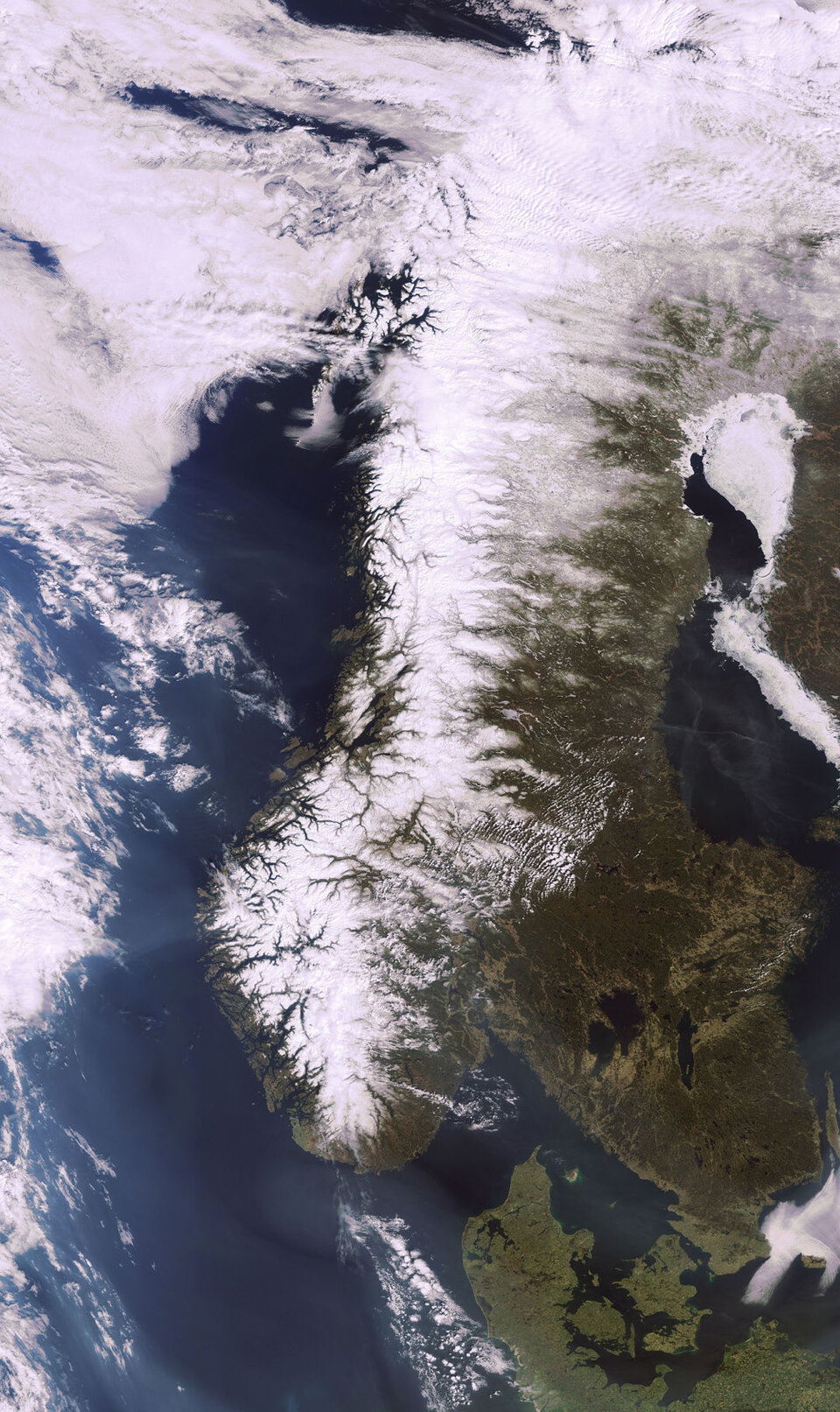
Until recently, MIRAVI provided optical images from Envisat’s MERIS instrument that not only afforded visitors the possibility to discover the beauty of the planet but also to witness natural events, like volcanic eruptions, in progress. To date, nearly 45 000 optical images have been made available.
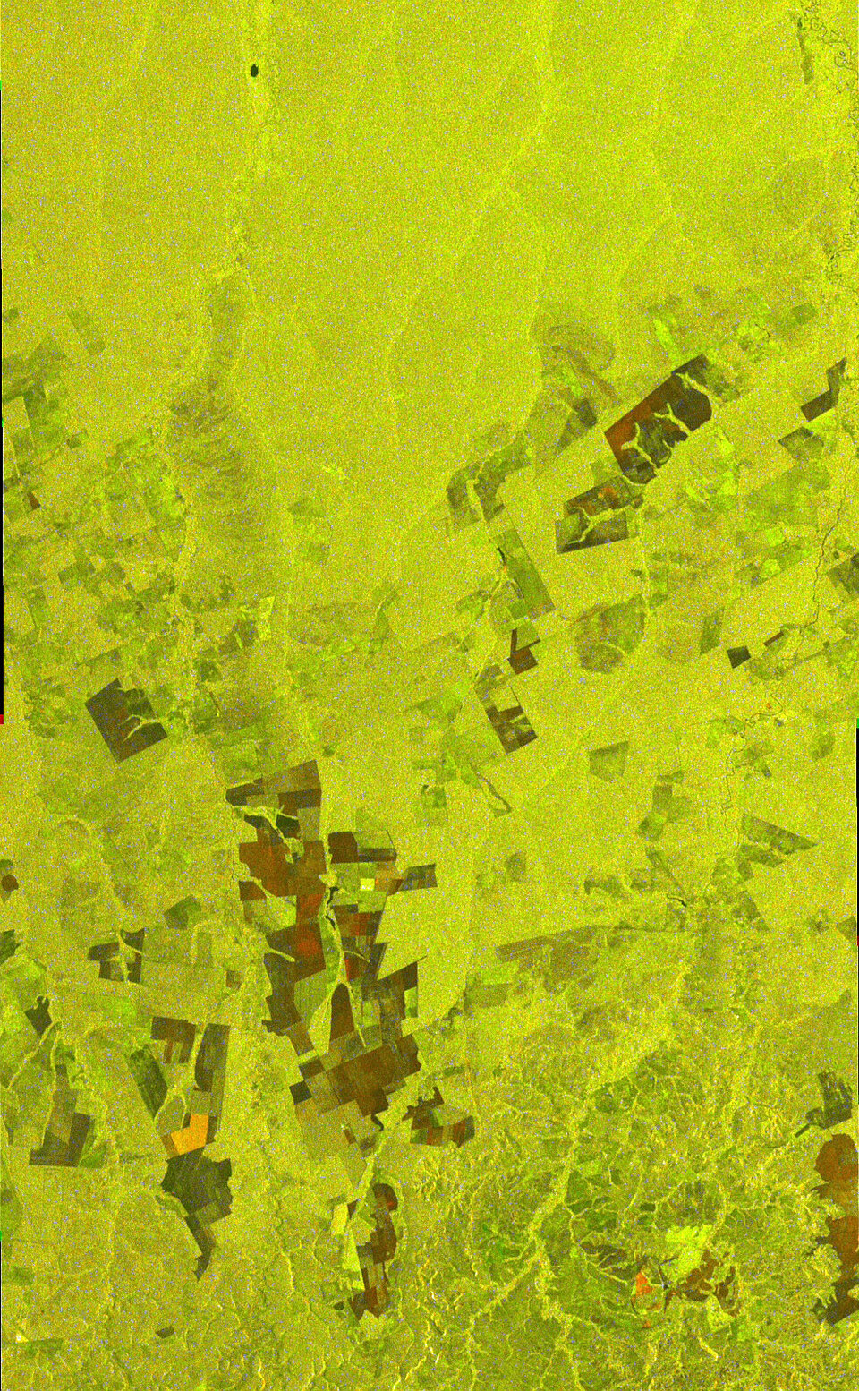
With the addition of radar images from the Advanced Synthetic Aperture Radar, it is now possible to observe oil spills, ice-berg calving, flooding and sea ice.
The radar is able to provide unique views of these elusive events because it is able to peer through clouds and darkness – conditions often found in the polar regions – and is particularly sensitive to the smooth water surface caused by oil spills.
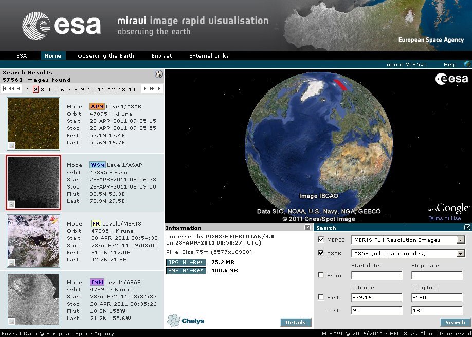
To enjoy the service, simply visit the MIRAVI website - http://www.esa.int/miravi - and either browse the very latest images by clicking on the snapshots to the left, or view a specific location by selecting an area on the world map or entering its geographic coordinates. Users are able to search for optical or radar (mostly black and white) images or both simultaneously.
Since its launch in 2002, Envisat – the largest Earth observation satellite ever built – has been providing scientists with the most detailed picture yet of the state of the planet.
Its unique combination of 10 different instruments collects data about Earth’s atmosphere, land, sea and ice – providing a wealth of information on the Earth System, including insights into factors contributing to climate change.
MIRAVI is based on a system for generating and publishing satellite images that is designed and distributed by Chelys.