The Maritime LOPOS EGNOS Test Bed (MARLET)
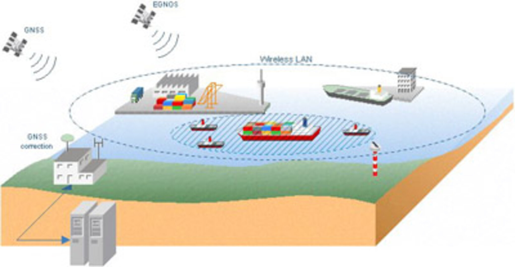
The aim of this project was the demonstration of the European Geostationary Overlay Service (EGNOS) in the maritime environment in two domains: Hamburg port operations and in the context of the forthcoming installation of AIS transponders aboard seagoing vessels.
In particular, the following tasks were performed:
- An examination of integrity for the LOPOS-generated GPS / GLONASS correctional data
- A performance comparison between local production of correction data and use of EGNOS
- A test of the operative use of EGNOS for commercial applications in shipping
- An investigation of the suitability of EGNOS for alternative navigational solutions – namely AIS – for the intelligent and selective reduction in the amount of data to be transferred.
The MARLET project was initiated in December 2001 and was completed in December 2002.


