Chasing polar winds with lasers
Preparing for the launch of ESA’s Aeolus wind satellite next year, scientists from Europe and the US recently teamed up in Iceland to measure the wind over the North Atlantic.
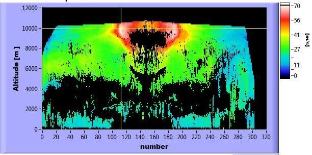
The field campaign is the first of its kind and involved different ‘lidars’ – the laser equivalent of radar – carried on two aircraft flying in formation to gather data on the winds below.
The lidars are similar to the satellite’s Aladin instrument, which incorporates two powerful lasers, a large telescope and very sensitive receivers.
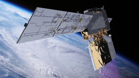
Aeolus will not only advance our understanding of atmospheric dynamics, but will also offer much-needed information to improve weather forecasts.
Importantly, the satellite data will be checked against measurements taken from the air and from the ground. Before that, those instruments have to be thoroughly tested – the purpose of the Icelandic ‘WindVal’ campaign.
European and US researchers came together to have a closer look at mid-latitude cyclones and polar winds through airborne and ground-based lidar measurements.
The teams from the DLR German Aerospace Center and NASA included instrument scientists, engineers, meteorologists, pilots, aircraft technicians and aircraft operation managers – around 30 people in all.
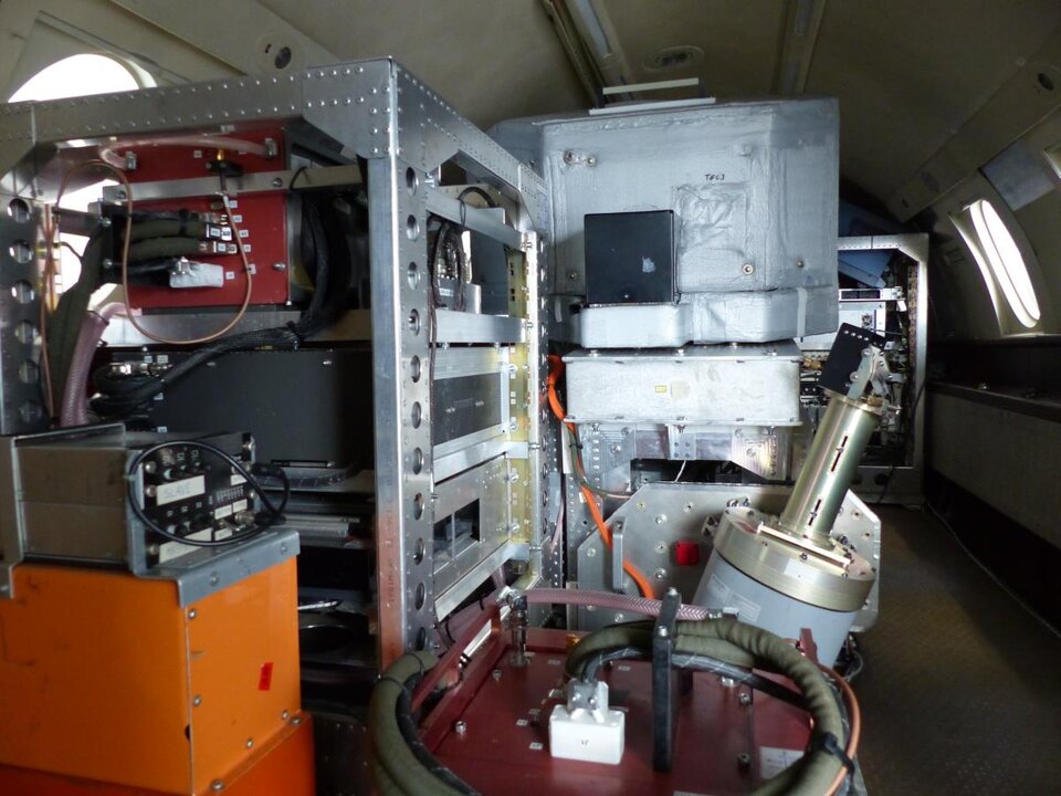
DLR’s Falcon aircraft carried the Aladin Airborne Demonstrator, developed by Airbus Defence and Space and DLR, as well as a ‘two-micron’ Doppler wind lidar.
The NASA DC-8 aircraft carried the Doppler Aerosol Wind Lidar, developed by NASA’s Langley Research Center, and the Tropospheric Wind Lidar Technology Experiment, managed by NASA’s Goddard Space Flight Center. In addition, dropsondes measured wind, air temperature and other key information in the wake of aircraft.
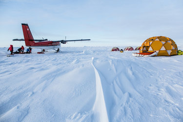
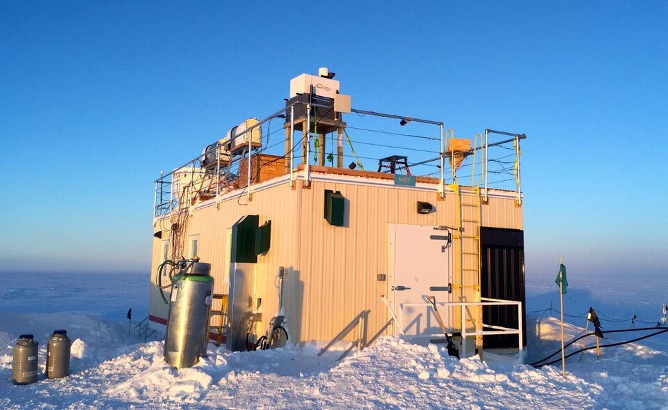
A ground team on Greenland used various instruments to record the weather from the surface up to about 10 km. A wind lidar was flown to Summit Station by the University of Leeds for the campaign.

Dirk Schüttemeyer, ESA campaign coordinator, said, “Thanks to this huge collaborative effort, the measurements collected will be of great value for Aeolus and the associated calibration and validation efforts.”
Numerous flights were made from Keflavik airport in Iceland. During the first flight to Glasgow, Scotland, the instruments probed a classic low-pressure system. Other flights produced excellent observations of both the jet stream and the Greenland ‘tip jet’.
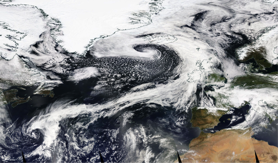
Anne Grete Straume, ESA’s Aeolus mission scientist, said, “The polar jet stream and the Greenland tip jet are important because they affect the weather in Europe.
"Weather prediction models cannot describe these narrow bands of strong winds in full detail, but even small changes in the jets can have a big impact on the development of weather systems moving towards Europe.”
Measurements above the Greenland plateau and the sea ice provided valuable data on the state of polar winds. Some flights performed special manoeuvres for specific observations.
“The calibration measurements are crucial to ensure accurate observations from the Aladin Airborne Demonstrator and Aladin lidars,” said Oliver Reitebuch, the principal investigator from DLR.
“The measurements will help prepare the procedure and processing of the Aladin calibrations.”
The Iceland campaign has just finished, but now the hard works starts to analyse and interpret the data – all part of ensuring that Aeolus will provide accurate measurements of the world’s winds.