Measuring biomass
With climate change arguably the biggest environmental challenge we face today and Earth’s forests playing a key role in sequestering atmospheric carbon dioxide, it is imperative to obtain accurate estimates of biomass and how it is changing.
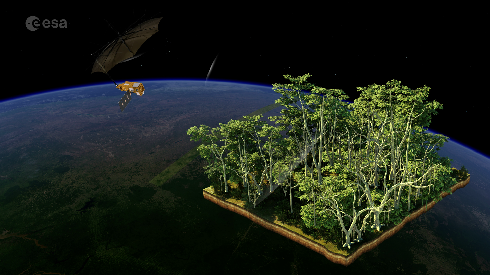
Measuring the mass of a tree from space is not an easy task. Unless a tree is felled and then weighed, its mass can only be inferred indirectly from structural parameters. In classical forest mensuration, this problem is solved by measuring the diameter of the trunk and then calculating the mass. The Biomass mission follows a very similar approach.

Access the video
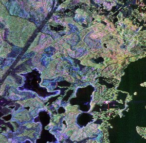
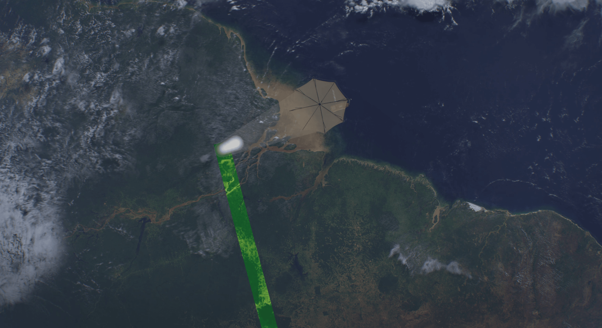
Thanks to the long wavelength of P-band, the radar signal, depending on the polarisation, emitted by the Biomass satellite will penetrate the whole forest layer and the signal will be scattered back by the individual elements of the forest canopy. In this way, the measured signal carries information about the forest structure and can be used to infer parameters such as forest biomass and forest height.
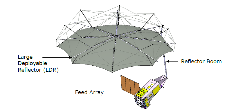
Compared to all previous synthetic aperture radar systems, Biomass offers major advances in its use of three complementary technologies to provide information on forest properties: polarimetry (PolSAR), polarimetric interferometry (Pol-InSAR) and tomographic SAR (TomoSAR).
Each of these measurements provide unique information to infer forest biomass and height. In particular, the interferometric observations allow for the cancellation of the contribution that the ground has made to the signal, which gives a more direct measurement of the radiometric signal from the volume of the biomass in the tree.
Back to Biomass homepage |