
Earth from Space: Foxe Basin
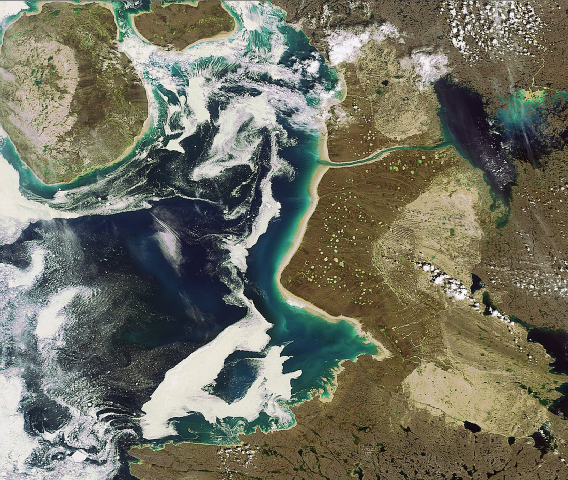
Foxe Basin, a nearly circular shallow extension of the Atlantic Ocean that is located in the Canadian territory of Nunavut, is highlighted in this Envisat image.
Foxe Basin remains ice-covered for most of the year, with landfast ice (sea ice that remains attached to the coast) dominating in the north and pack ice (normally broken separate blocs of ice) covering the deeper southern waters. The Basin’s depth varies between 100 m and 400 m.
Foxe Basin is located north of Hudson Bay between Baffin Island (visible along the right side of the image) and the Melville Peninsula (not visible but located to the west, or left). Baffin Island covers an area of some 507 451 km², making it the largest island in Canada and the fifth largest in the world.
Stretching roughly 500 km across at its widest point, the Basin is home to the last large landmasses discovered in North America. Prince Charles Island (the large round island visible in the top left), Air Force Island (located directly west, or right, of Prince Charles Island) and Foley Island (not pictured) were all discovered in 1948 from aerial surveys.
This area is one of the most biologically rich and diverse areas of the Canadian Arctic, supporting colonies of bearded seals and the largest walrus herd in Canada. It is a summering area for bowhead, beluga and narwhal whales.
This image was acquired by Envisat's Medium Resolution Imaging Spectrometer (MERIS) instrument on 15 July 2008, working in Full Resolution mode to provide a spatial resolution of 300 metres.

