Data product levels
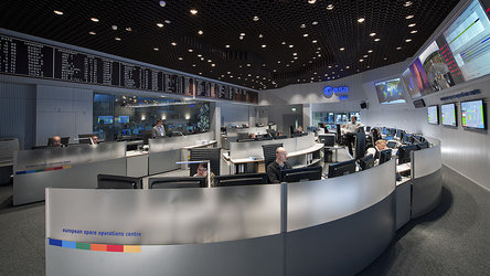
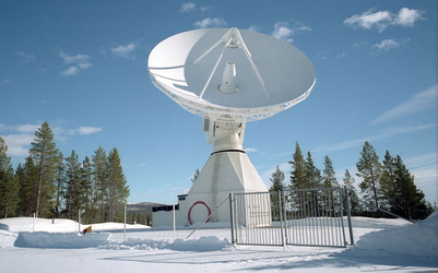
The FLEX satellite downlinks its scientific data to the ground station in Svalbard, Norway. The data are then sent to data processing facilities including ESA’s Centre of Earth observation, ESRIN, in Frascati, Italy.
Level-0 data are raw data measured by the FLEX satellite. They are at full spatial and temporal resolution with the supplementary information appended, to be used in subsequent processing (e.g. orbital data, health, time conversion, etc.).

Level-1b data are quality-controlled and radiometrically calibrated, spectrally characterised, geometrically characterised, then annotated with satellite position and pointing, landmarks, and preliminary pixel classification (e.g. land/water/cloud/sunglint mask) and quality flag.
Level-2a data are time series of collocated and orthorectified radiance data from the FLEX and the Copernicus Sentinel-3 sensors (Floris, ocean land colour instrument (OLCI) and the sea and land surface temperature radiometer (SLSTR), then re-sampled to a common specified grid and resolution.
Level-2b, c, d data consist of Earth located swath-based measurements from Floris, OLCI, and/or SLSTR at their native spatial resolution converted to geophysical parameter values using models and auxiliary datasets.
ESA is responsible for data products up to and including Level-2.
All scientific data products up to and including Level-2d are based on instantaneous measurements at the actual observation time. By choosing 10:00 as the equatorial crossing time, the resulting solar illumination hours as a function of latitude guarantees adequate measurements when plants are photosynthetically active.
Back to FLEX homepage |