
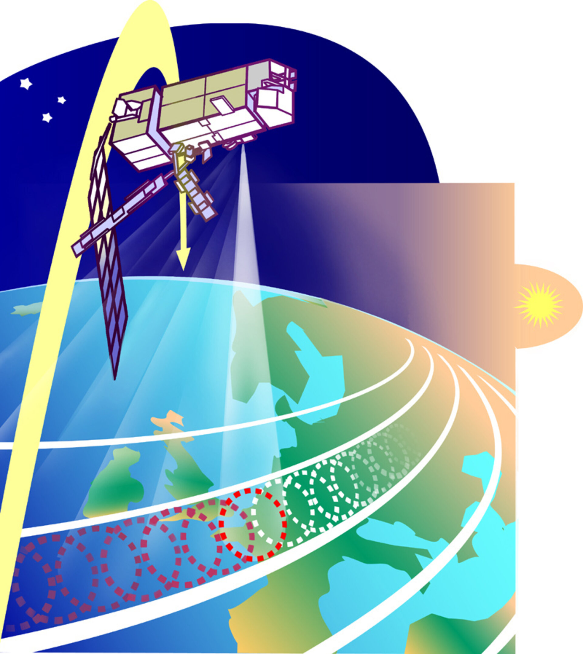
MHS Overview
The MHS is constructed as a five channel, self-calibrating, total power, microwave scanning radiometer. It scans the Earth from left to right, in a vertical plane. Each swath (scan) is made up of 90 contiguous individual pixels (scenes) sampled every 2.67 seconds. The scan is synchronised with the AMSU-A1 and A2 instruments.
Between consecutive scans of the Earth, the MHS also views and samples data from an area of deep space (used as a cold target), and an onboard source (hot target), the data being later used during ground processing for calibration purposes.
The MHS has channels in the 89-190 GHz range. Channels at 157 GHz and 183 GHz provide atmospheric humidity data. The 89 GHz channel provides information on surface temperature and emissivity (in conjunction with AMSU-A data) and detects low altitude cloud and precipitation.

The graph shows the frequencies of the five channels and the opacity of the atmosphere for oxygen and water vapour. For example, the difference between high water vapour in one pixel and low water vapour in the next pixel can indicate the boundary of a cloud formation. These specific channels or frequency bands have been chosen to optimise the amount and type of information obtainable, whilst allowing for varying absorption by the atmosphere at the different MHS frequencies, as can be seen in the graph.

The instrument comprises three main modules:
- scan mechanism
- receiver
- control electronics equipment
These are all mounted in close proximity to each other, on an integrated structural assembly. The instrument is mounted externally, on the nadir (Earth-facing) side of the satellite.
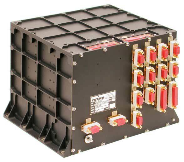
To provide an interface between the MHS instrument and the payload module, a separate electronics unit, called the Microwave Humidity Sounder Protocol Conversion Unit (MPU), is used, for handling commands, telemetry and the science data. This unit interfaces with various other equipment in the Payload Module. The MPU has been designed and developed by Alcatel Space Switzerland.
