Agency
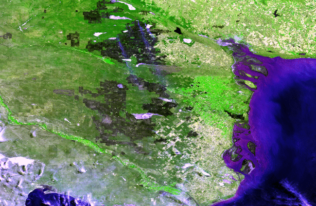
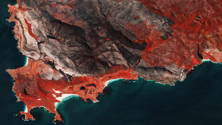
Closer view of 2003 Fréjus and La Motte burn scars
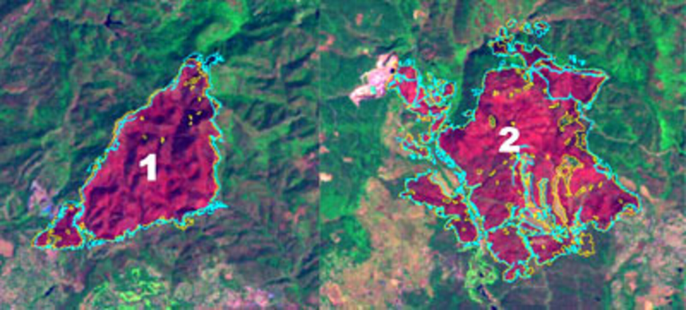
A closer view of burn scars arising from last year's fires in the Var region of southern France.
Burn scar one is from the Fréjus fire, with an estimated surface area of 924 hectares in the PROMETHEE database, compared to 891 ha from Landsat.
Burn scar two comes from the La Motte fire, with 1960 ha in PROMETHEE, compared to 1674 ha from Landsat.