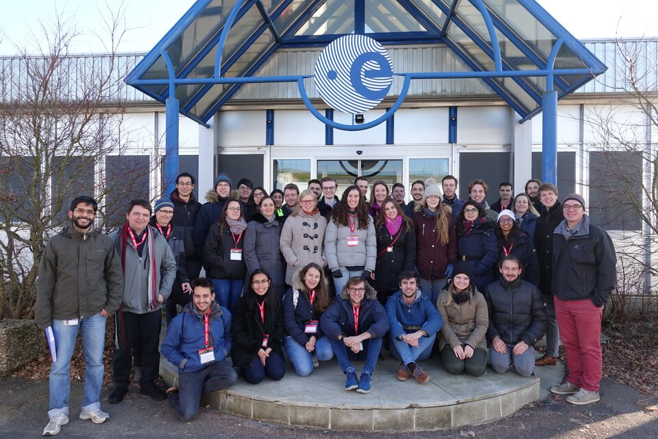
30 students successfully complete ESA Academy’s inaugural Earth Observation Remote Sensing Workshop
The first ESA Academy’s Earth Observation Remote Sensing Workshop has been completed! Attended by 30 PhD and MSc engineering and science students from 15 different ESA Member and Associate States, the course ran from 10 to 14 December 2018 at ESA Academy’s Training and Learning Facility, ESA’s ESEC-Galaxia, Belgium.
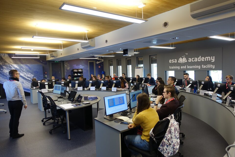
This workshop was developed by the ESA Education Office with the support of the Science, Applications & Climate Department in ESA’s ESRIN. Run by ESA retirees with a wealth of experience, along with experts from academic institutions and industry, the goal was to introduce students to the world of Remote Sensing, offering insight into various techniques and tools used in the analysis of Earth Observation. Lectures and exercises complemented each other, with students given data across different wavelengths from a variety of instruments. This allowed participants to apply knowledge gained during lectures in hands-on experiences.
“Previously, I knew just a little about Remote Sensing, and this workshop definitely widened my view over the different useful applications that satellite data can have, and the infinite amount of information that they can provide,” explained an Italian student from the Technical University München. “There’s a huge fleet of satellites above us in space watching and monitoring our wonderful planet, and they allow us to have a favourable perspective in order to take essential decisions regarding the Earth: oceans, atmosphere, agriculture, disaster monitoring, just to mention few possible applications. In this workshop, other than the basic knowledge to understand Remote Sensing, I was able not only to receive suggestions and inspirations from experts in the field, but also gain some practical skills regarding the software used. It was also essential having the chance to share this wonderful experience with other motivated students coming from all over Europe and Canada. I think this workshop will absolutely boost my study and, later, my career in Earth Observation.”
On the first day, students learned about Earth Observation, and the ESA fleet of Earth Observation satellites such as those of the Copernicus programme. Day two saw students discover the different tools and methods used for analysing radar data. Images from the Sentinel-2 satellite were analysed to reveal different plants, and areas damaged due to flooding.
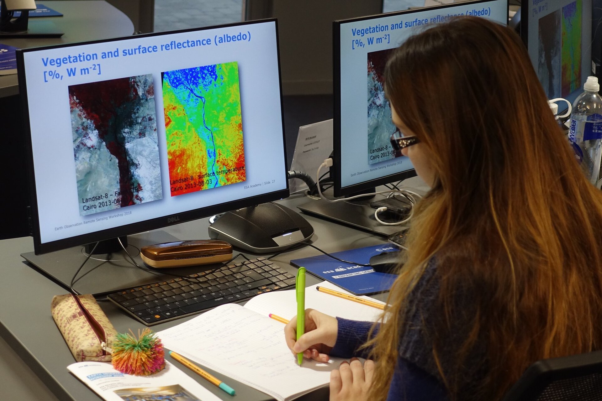
The third day was dedicated to Optical Remote Sensing, as using instruments in different wavelength ranges provides complementary information. The students learned about pre-processing images, such as how to correct for atmospheric perturbations. They then continued to analyse ocean images to determine the quality of seawater by searching for the presence of algae and plankton. Their work continued into the next day, when they investigated how thermal infrared observations can be used to differentiate between warm areas such as cities, and cool areas such as rivers and fields. During these exercises radar data, which can be used to see through the canopies of forests, was analysed. The students also had an overview of how raw data is pre-processed, corrected and calibrated in order to make it usable.
On the last day, students learned about interpretation and classification of objects in images, and the automation of some of these classification processes. Using the Object Based Image Analysis method they swiftly identified forests, fields and ponds in a large rural area. Finally, the students were evaluated on the work they had completed. Happily, they were all successful, and so received their certificates of participation.
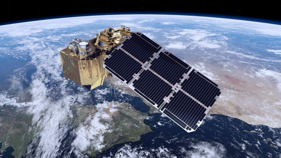
During the workshop, the students took the opportunity to visit the site of ESA’s ESEC-Redu and the PROBA control room, which oversees PROBA-V, an Earth Observing satellite that monitors vegetation.
A Norwegian student from the Norwegian University of Science and Technology concluded: “The workshop was a wonderful experience where you got to see all aspects of remote sensing, from the engineering to the actual usefulness of the data. It was great to be able to communicate with people approaching the field of remote sensing for another perspective than I have. I don't know what I enjoyed most; the wonderful lectures about remote sensing, the insightful practical exercises, or getting to know such passionate people.”
To find more information about upcoming and future ESA Academy training opportunities, please check our current opportunities page.
Contact: TLP@esa.int