Keeping an eye on the storm
Over the past months, tragic news about hurricanes, floods, earthquakes, landslides, wildfires and other natural disasters, have dominated the news. The lives of many people have been affected, with considerable death tolls, and the aftermath of these has resulted in severe humanitarian crises and a high socio-economic impact all over the world.
On 13 October, the International Day for Disaster Reduction, we have a look at how space science and technology can help address global challenges and particularly with the aim of reducing the number of people affected by natural hazards. In addition, with regard to this specific global context, it is important to recall the international commitments made to address disaster reduction, with special attention to the Sendai Framework for Disaster Risk Reduction, the Paris Agreement on climate change, the Sustainable Development Goals, and the International Charter Space and Major Disasters.
Mitigation, preparedness and early warning systems
Disaster management can be grouped into four stages: prevention and mitigation, preparedness, response, and recovery. Building and strengthening the resilience of vulnerable populations, with particular attention to Small Islands Developing States (SIDS), is of key importance for disaster reduction. The ESA Earth Observation (EO) programme has been active for years in the development of projects aimed at an enhanced use of space data within national and regional planning and strategies for natural hazards risk assessment and climate-resilient infrastructure.
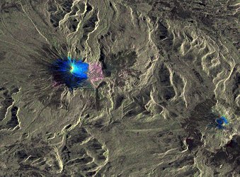
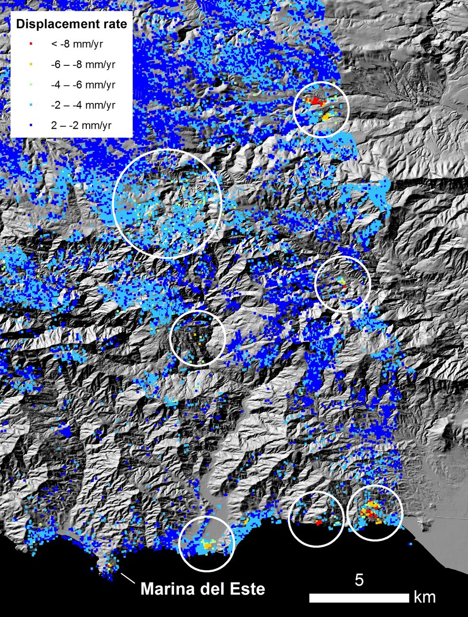
In addition, thanks to remote sensing technologies, ESA EO has developed a wide range of early warning system applications, covering topics such as droughts, vector borne diseases, landslide and volcanic hazards.
Response and recovery
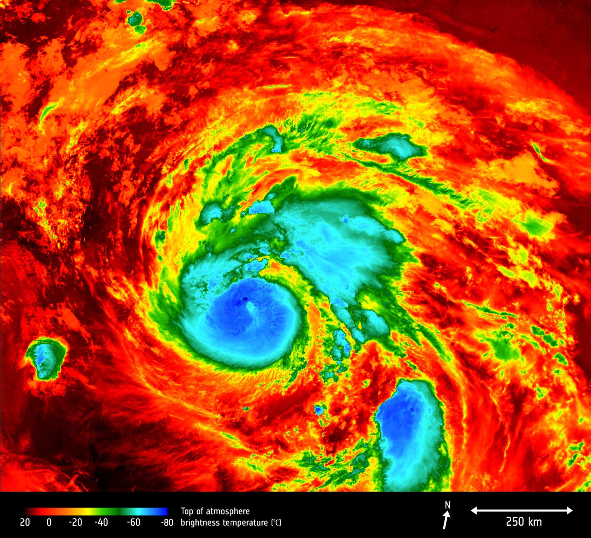
The European Space Agency is a founding member of the “International Charter Space & Major Disasters”. The International Charter aims at providing a unified system of space data acquisition and delivery to those affected by natural or man-made disasters through Authorized Users’ requests. The availability of satellite imagery is of critical importance for the disaster relief community and relevant national authorities for the monitoring, evaluation and analysis of a specific disaster-torn area. Among the latest activations of the Charter were the earthquake in Mexico, hurricane Maria, hurricane Irma and hurricane Harvey.


All Sentinel data, as part of the Copernicus programme – Europe's Earth Observation programme headed by the European Commission in partership with ESA – is available free of charge. Several services have already reached a high degree of maturity and can be accessed online. This Open Access policy ensures that data can be easily obtained and implemented by users from all over the world.

Information and communication technology (ICT) is essential for effective disaster management strategies. The ESA Telecommunications programme has developed several integrated applications aimed at the provision of ICT infrastructure to authorities and emergency relief personnel. Furthermore, there is a high demand for healthcare services in post-disaster settings. Several ESA integrated applications projects address emergency medicine from tele-assistance services for professional clinical users in remote locations to a transportable bio-laboratory that can be deployed in crisis areas.
By combining remote sensing data with on-the-ground information rapid relief can be brought to those affected. ESA continues to widen the scope of its projects throughout all of its programmes to be able to best predict and respond to emergency situations and mitigate their effects on the population.