
Satellite positioning/navigation
Satellite positioning and navigation systems enable the location of a position almost anywhere in the world, on the earth, sea, or in the air, at any time, almost instantly, allowing continuous information even when using a receiver that is moving. This is particularly useful where maps or orientation points are unavailable or limited, and reacting to health-threatening emergencies requires quick and simple location information.
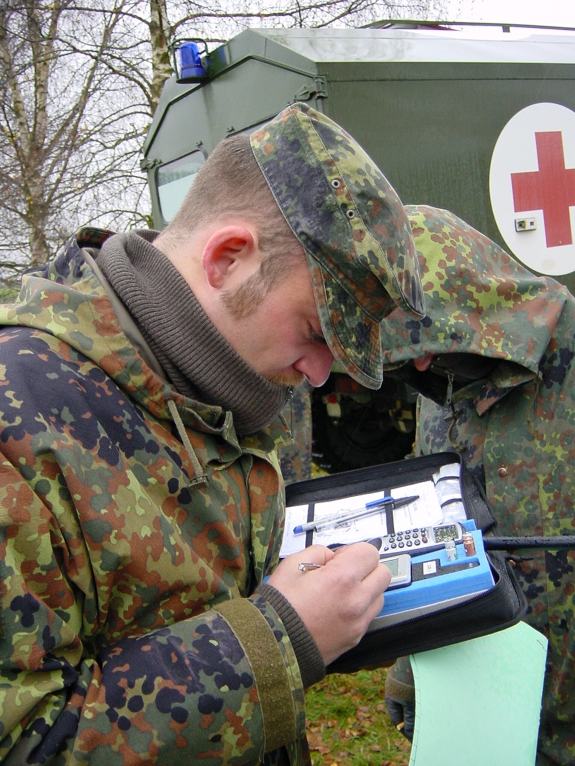
Knowing exactly where one is can mean the difference between life and death, when requiring urgent assistance. During a natural or man-made disaster, without the aid of satellite-positioning and navigation systems, a rescue worker usually cannot provide accurate information, which results in wasted time and effort, both of which are at a premium under such circumstances. The value of such aids, which do not require any other support infrastructure, cannot be underestimated.
Rescue workers and fire-fighters, for example, can carry automated transmitters, together with monitoring sensors, that will provide critical information at regular intervals, even giving warning to home base when a rescue worker becomes incapacitated and cannot even call for help. Automatic and accurate position information can be transmitted together with critical health and environment information so that effective and efficient rescue operation can be mounted.
Positioning is also of particular importance in the case of epidemics. Indeed, knowing the location of the event and plotting its spread in near real-time is critical for effective execution of corrective measures to mitigate public health risks.
