
Earth Remote Sensing from the Space Station—It’s Not Just Handheld Cameras Anymore
Since the International Space Station became operational in November 2000, astronauts on board have taken more than 600,000 images of the Earth’s land surface, oceans, atmospheric phenomena, and even images of the Moon from orbit using handheld film and digital cameras as part of the Crew Earth Observations experiment.
Despite this large volume of imagery and clear capability for Earth remote sensing, the space station historically has not been perceived as an Earth observation platform by many remote sensing scientists. With the installation of new facilities and sophisticated sensor systems on the International Space Station over the past two years—and more to come—this perception is changing.
So what can the station offer in terms of Earth remote sensing that free-flying, robotic satellite systems cannot?
Images With a Variety of Lighting Conditions
Unlike many of the traditional Earth observation platforms, the station orbits the Earth in an inclined equatorial orbit that is not sun-synchronous. This means that the station passes over locations on the Earth between 52 degrees north and 52 degrees south latitude at different times of day and under varying illumination conditions. Remote satellite-based Earth observing sensors are typically placed on polar-orbiting, sun-synchronous platforms like Landsat7 or Terra in orbits designed to pass over the same spot on the Earth’s surface at approximately the same time of day. These satellite platforms will revisit a location about every two weeks. While collecting imagery in similar lighting conditions is good for producing uniform data for a specific place, it restricts the time that data is collected (near local solar noon in most cases). If a scientist is interested in a surface process that typically happens in the early morning or late in the afternoon (for example, patterns in coastal fog banks), the data will be difficult to collect from the polar-orbiting, sun-synchronous satellites.
Responsive Data Collection
- Window Observational Research Facility, or WORF, provides a highly stable internal mounting platform to hold cameras and sensors steady while offering power, command, data, and cooling connections. With the WORF, the high-quality optics of the nadir viewing window—looking “straight down” at the Earth—in the U.S. Destiny Laboratory are now fully utilized for the first time.
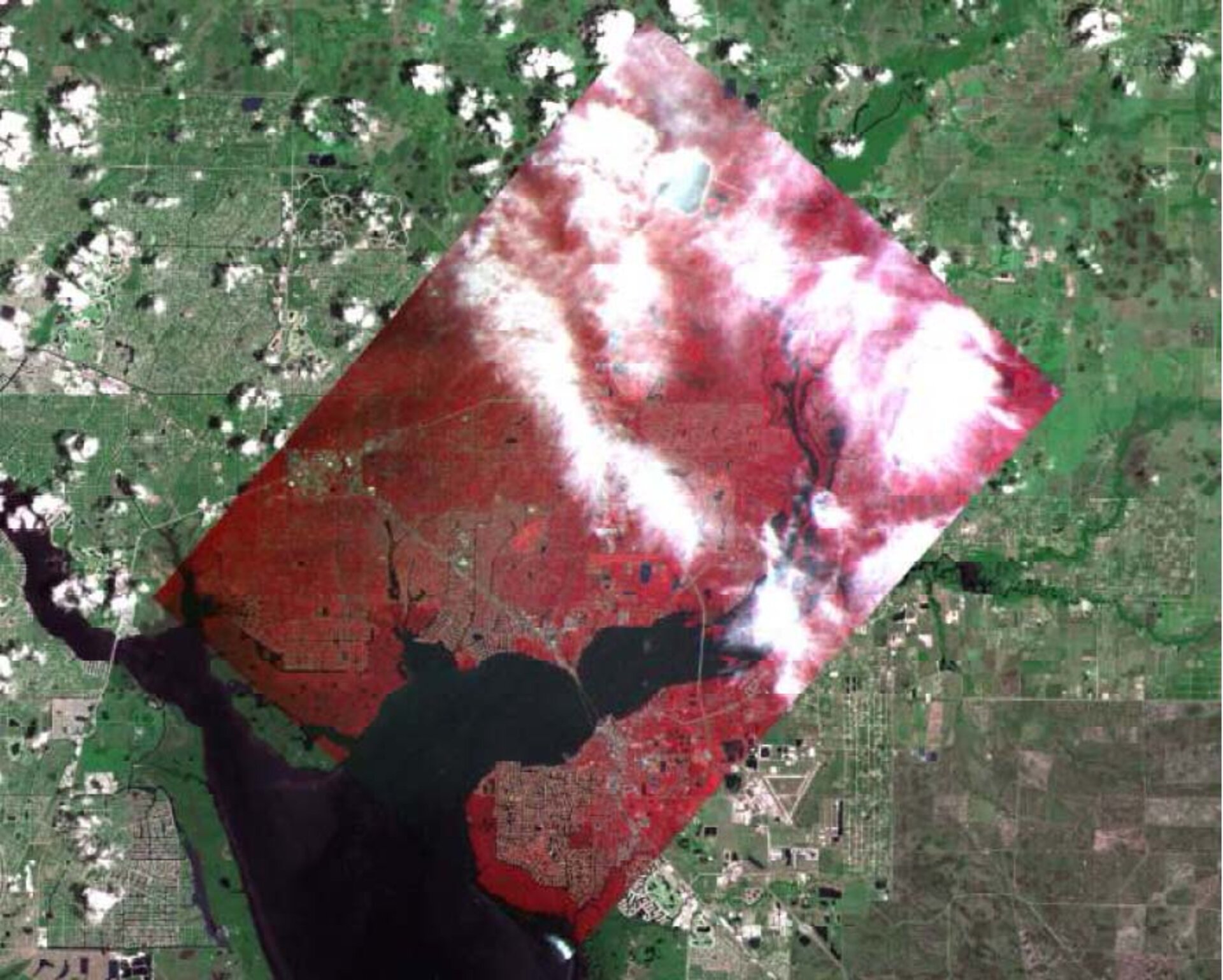
- International Space Station Agricultural Camera , or ISSAC. The ISSAC was developed by students and faculty at the University of North Dakota. Its prime purpose is to collect multispectral data supporting agricultural activities and related research in the Upper Midwest of the United States. In addition, the ISSAC can be tasked to collect imagery of natural hazards and disasters in support of NASA humanitarian efforts. ISSAC collects information in the visible and near-infrared wavelengths (3 bands) at a nominal ground resolution of 20 meters per pixel.
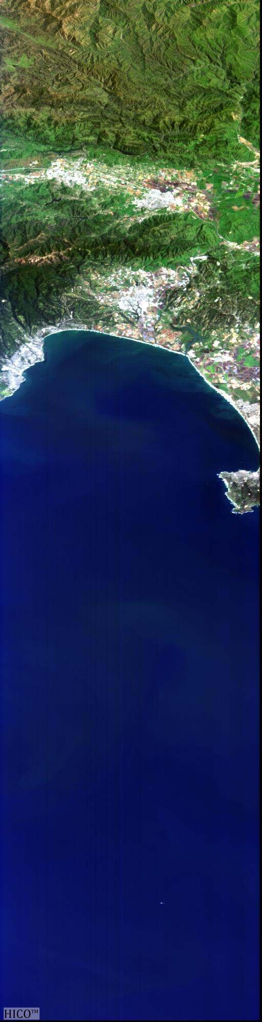
- Hyperspectral Imager for the Coastal Ocean , or HICO, is mounted on the external facility of the Japanese Kibo module. The prime mission of HICO is to collect data on water clarity, bottom materials, bathymetry, and on-shore vegetation along the coasts of Earth’s oceans at approximately 90 meters per pixel ground resolution. The sensor collects high-quality information in 87 bands over the visible and near-infrared wavelengths.
- · International Space Station SERVIR Environmental Research and Visualization System, or ISERV, is a planned sensor system consisting of a Schmidt-Cassegrain telescope paired with a digital camera system to collect visible-wavelength imagery at ground resolutions of less than 3 meters per pixel. The system will be mounted in the WORF and will have excellent stability and targeting capabilities. The sensor is intended to support the SERVIR program in its goals of humanitarian support by using Earth science data to aid the developing world, mitigate and respond to disasters, and provide humanitarian support.
William L. Stefanov
Chief Scientist, Science Applications, Research and Development Department, Jacobs
