About satellite navigation
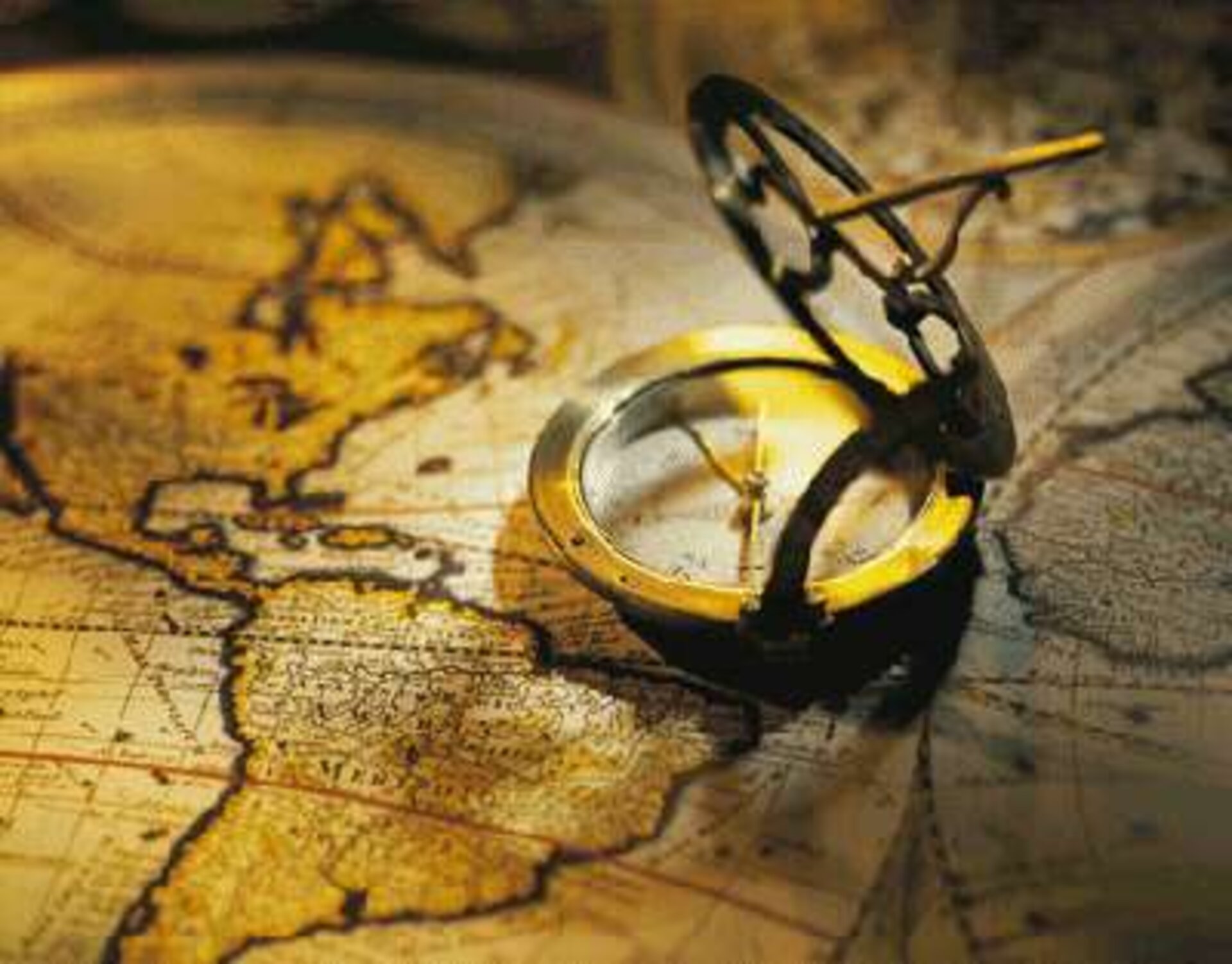
Since the beginning of time, human beings have looked to the sky to determine their whereabouts. Traditionally, the Sun and the pattern of fixed stars have been their guides. But in the second millennium, constellations of man-made satellites have taken over as beacons to guide the way.
What is satellite navigation?
Using the fixed stars, you can determine your position anywhere on the Earth’s surface to within a few hundred metres, provided the weather is fine. But navigation satellites can tell you where you are to the nearest few metres or better, whatever the weather. Enhanced instruments can even pinpoint the position of a stationary object to within a few centimetres by measuring the object’s position many thousands of times over several hours and then working out the average of the measurements.
All you need to take advantage of this sophisticated new technology is a receiver to pick up signals transmitted by navigational satellites. The receiver technology is small enough to be incorporated into the electronics of a car or mobile phone, and all our lives are changing as a result.
How does it work?
To pinpoint your location accurately, your receiver needs to receive signals from at least four navigational satellites. The receiver determines your distance from each of the satellites by measuring the time taken by the signal to travel from the satellite to your receiver antenna.
Distance measurements from two satellites tell you that you are situated somewhere on the circle where two spheres intersect. The spheres each have one of the two satellites at their centre and their radii are the satellite-receiver distances. Knowing your distance from a third satellite fixes your position at one of the two points where the circle intersects the third sphere. One of the intersection points can usually be discounted – for instance, it may be thousands of kilometres above the Earth’s surface.
In practice, a fourth satellite is needed to synchronise your receiver’s clock with a common time standard which is strictly adhered to by the clocks on board all the satellites. The use of a fourth satellite also resolves the position ambiguity that occurs with only three satellites. In general, the more satellites used, the greater the positioning accuracy. Many receivers have channels for receiving signals from up to 15 satellites.
The importance of measuring time
Determining precise location depends on accurately measuring the distances between receiver and satellite, and that depends on very accurate measurement of the radio signal’s travel time from the satellite to the receiver. As these signals travel at the speed of light, the journey times are tiny fractions of a second.
The receiver measures travel times by comparing ‘time marks’ imprinted on the satellite signals with the time recorded on the receiver’s clock. The time marks are controlled by a highly accurate atomic clock on board each satellite.
These clocks, however, are too expensive to incorporate into standard receivers, which have to make do with small quartz oscillators like those found in a wristwatch. Quartz oscillators are very accurate when measuring times of less than a few seconds, but rather inaccurate over longer periods. The solution is to re-set the receiver’s time to the satellite’s time continuously. This is done by the receiver’s processor using an approximation method involving signals from at least four satellites.
For this system of measurement to work, all satellites need to be synchronised so that they can start transmitting their signals at precisely the same time. This is achieved by continuously synchronising all on-board atomic clocks with a master clock on the ground. These super-accurate clocks have an accuracy equivalent to one second in three million years.
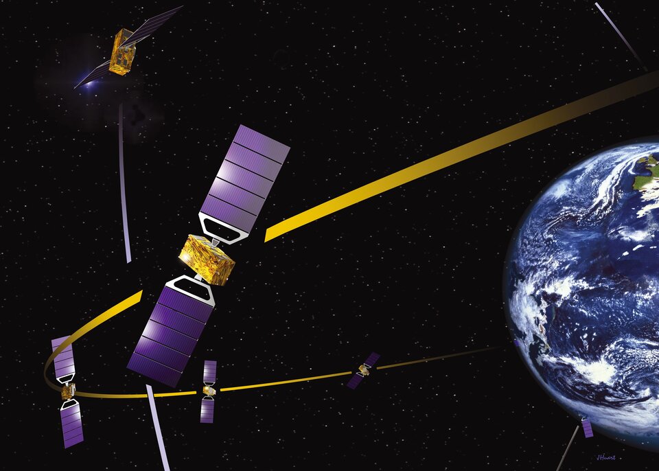
Where are the navigational satellites?
It is only possible to determine a location on Earth if you know the location of the navigational satellites very precisely. This is achieved by placing the satellites in highly stable Medium Earth Orbits (MEOs) at an altitude of about 22 000 kilometres. MEOs are the orbits of choice for a number of reasons: their stability enables exact orbit predictions; the satellites travel relatively slowly and so can be observed over several hours, and the satellites can be arranged in a constellation so that at least four are visible from any point on the Earth’s surface at any time.
Despite the predictability of the MEOs, it is still necessary to monitor the precise location of each satellite constantly to achieve high positioning accuracy. This is done from a global network of reference stations on the ground, whose positions are known to within centimetres. The ground system sends data derived from the reference station measurements to each satellite. This precise location information, called ephemeris data, is then relayed by the satellite to the user receivers with the navigation signal.
What about errors?
Numerous errors can degrade the accuracy of a position measurement. For example, errors in satellite to receiver distances can creep in if conditions within the ionosphere, the electrically charged outer layer of the atmosphere, slow down the signal. Conditions within the ionosphere are influenced by the level of activity on the surface of the Sun. Inaccurate distance measurements will also occur if the signal takes an abnormally long path because it is reflected off tall buildings or other surfaces before reaching the receiver.
There are various ways of overcoming such inaccuracies. The best known is called differential satellite navigation, which uses a fixed receiver in a known position as a reference.
The time taken for the signal to travel from the satellite to the fixed receiver can be calculated precisely because the positions of the fixed receiver and the satellites (and hence the length of the travel path) are known precisely. Any difference between the calculated travel time and that actually measured reflects inaccuracies introduced by disturbances in the ionosphere.
If a moving receiver, attached to an aircraft for example, is within a few hundred kilometres of the fixed receiver, then it is fair to assume that the errors experienced by the signal in reaching both receivers will be roughly the same, as variations in ionospheric conditions tend to be similar over large areas. The timing errors determined by the fixed receiver can then be used to eliminate similar errors in the moving receiver. Major users of satellite navigation, such as large airports, may decide to use the differential technique by installing their own fixed receivers.
Another technique, which makes use of two positioning signals at two different frequencies, does away with the need for differential satellite navigation. It works on the principle that each frequency will be slowed down by a slightly different amount when travelling through the atmosphere. By sending the two frequencies at the same time and recording the time difference between their arrivals, it is possible to build up a model of ionospheric conditions. This dual-frequency technique can increase positioning accuracy to better than one to two metres and will be standard for Galileo.
Finally, it is possible to determine positions to within a few tens of centimetres using a technique called Three Carrier Ambiguity Resolution (TCAR). TCAR eliminates inaccuracies by looking at the wavelike structure of the signal and determining how much it has been pushed along during its passage through the atmosphere. Such phase shifts can be measured to within a fraction of the wavelength, which is typically 20 centimetres.
The calculations needed to do TCAR are presently beyond the capabilities of standard hand-held receivers and this technique is used mainly for long-term monitoring of movement in buildings, oil pipelines, changes in sea level and even changes in the shape of the Earth’s crust.
Europe’s approach to Global Navigation Satellite Systems has begun with the European Geostationary Navigation Overlay Service (EGNOS), which complements and improving GPS, entering service in 2009 and certified for safety-of-life operations in 2011.
The technical and operational experience of EGNOS is helping paving the way for Galileo, Europe’s global navigation satellite system. The first Galileo satellite, GIOVE-A – Galileo In-Orbit Validation Element A, was launched at the end of 2005, with GIOVE-B following it in 2008. The first pair of operational Galileo satellites was launched in 2011.
Galileo is a joint initiative between ESA and the European Commission. When fully deployed later this decade, it will be the first civilian positioning system to offer global coverage.