EGNOS TRAN – Vehicle Tracking
Due to the low elevation of the EGNOS satellites, their signal is difficult or sometimes impossible to receive in certain regions. Many present and also future applications require a high accuracy and also a high reliability of the position determination, which can easily be performed by EGNOS. If the EGNOS signal cannot be received, the requirements of those applications can no longer be satisfied.
To reduce this problem the EGNOS TRAN (European Geostationary Navigation Overlay Service - Terrestrial Regional Augmentation Networks) - Vehicle tracking project team evaluated various technical methods to broadcast the EGNOS signal via terrestrial networks, like GSM/GPRS, Loran-C or Ground Regional Augmentation System (GRAS).
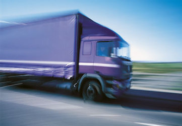
In the frame of the EGNOS TRAN safe transport application, a location-based service was built. The system comprised a service centre in Rome where the position of dangerous goods transport vehicles (tobacco, nuclear substances, medicine) could be monitored. The service centre communicated via GPRS with the vehicle, which was equipped with an EGNOS receiver and was assisted by the service centre with data messages and with EGNOS data when the EGNOS Signal-In-Space is lost (e.g urban environment, mountainous region).
The EGNOS Tran –Vehicle Tracking project was initiated in July 2001 and finished in July 2003.