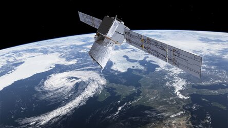
Introducing Aeolus
Launched on 22 August 2018, Aeolus was the first satellite mission to acquire profiles of Earth’s wind on a global scale. Delivered in near-realtime, these observations improved the accuracy of numerical weather. They also advanced our understanding of tropical dynamics and processes relevant to climate variability.
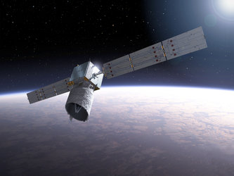
Its pioneering laser technology took many years to develop, but despite numerous challenges, this trailblazing satellite mission surpassed its planned life in orbit and exceeded scientific expectations.
Aeolus has been hailed as one of ESA’s most successful Earth observation missions. The mission ended on 28 July 2023.
Many aspects of our lives are influenced by the weather. It goes without saying that accurate forecasts are important for commercial undertakings such as farming, fishing, construction and transport – and in general make it easier to plan the days ahead.
In extreme circumstances, knowing what the weather will bring can also help save lives and protect property.
Although weather forecasts have advanced considerably in recent years, meteorologists urgently needed reliable wind-profile data to improve accuracy further.
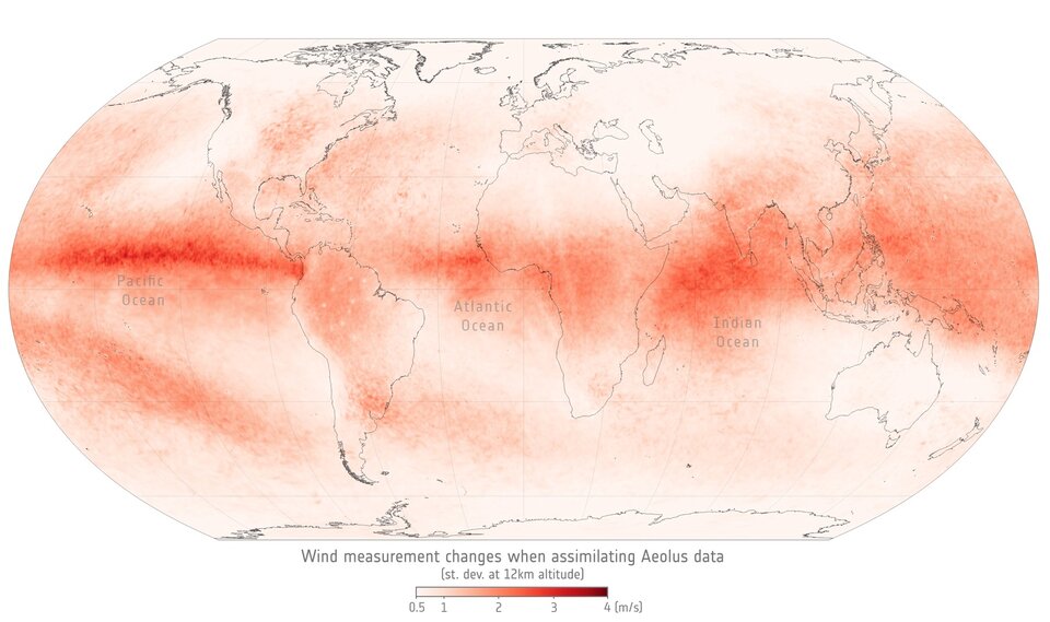
The Aeolus wind mission demonstrated that measuring global wind profiles from space, using laser technology, could meet this requirement.

Access the video
In fact, despite being an Earth Explorer research mission, Aeolus' data were so good that they were used by major weather forecasting services worldwide, including the European Centre for Medium-Range Weather Forecasts (ECMWF), Météo-France, the UK Met Office, Germany’s Deutscher Wetterdienst (DWD), and India’s National Centre for Medium Range Weather Forecasting (NCMRWF).
During the COVID pandemic, data from Aeolus filled the gap left by the aviation sector. With fewer flights, measurements from air traffic reduced accordingly. Fortunately, Aeolus was available, and the mission was used to help maintain the data input to operational weather forecast models.
Aeolus was also used to track events in near-realtime, such as the Hunga Tonga volcanic eruption in 2022. Tracking ash plumes is important to warn the airline industry of potential hazards as ash clouds can reduce visibility and damage aircraft engines.
Also, a report by London Economics found that Aeolus data and information benefited European stakeholders and society by as much as €3.5 billion.
Thanks to the success of Aeolus, a future series of Doppler wind lidar satellites, Aeolus-2, is planned to continue delivering wind profiles from space.
Aeolus was the fifth in the family of ESA’s Earth Explorer missions, which address key scientific challenges identified by the science community and demonstrate breakthrough technology in observing techniques.
Named after Aeolus, who in Greek mythology was appointed ‘keeper of the winds’ by the Gods, this novel mission provided much-needed data to improve the quality of weather forecasts, but also contributed to long-term climate research.
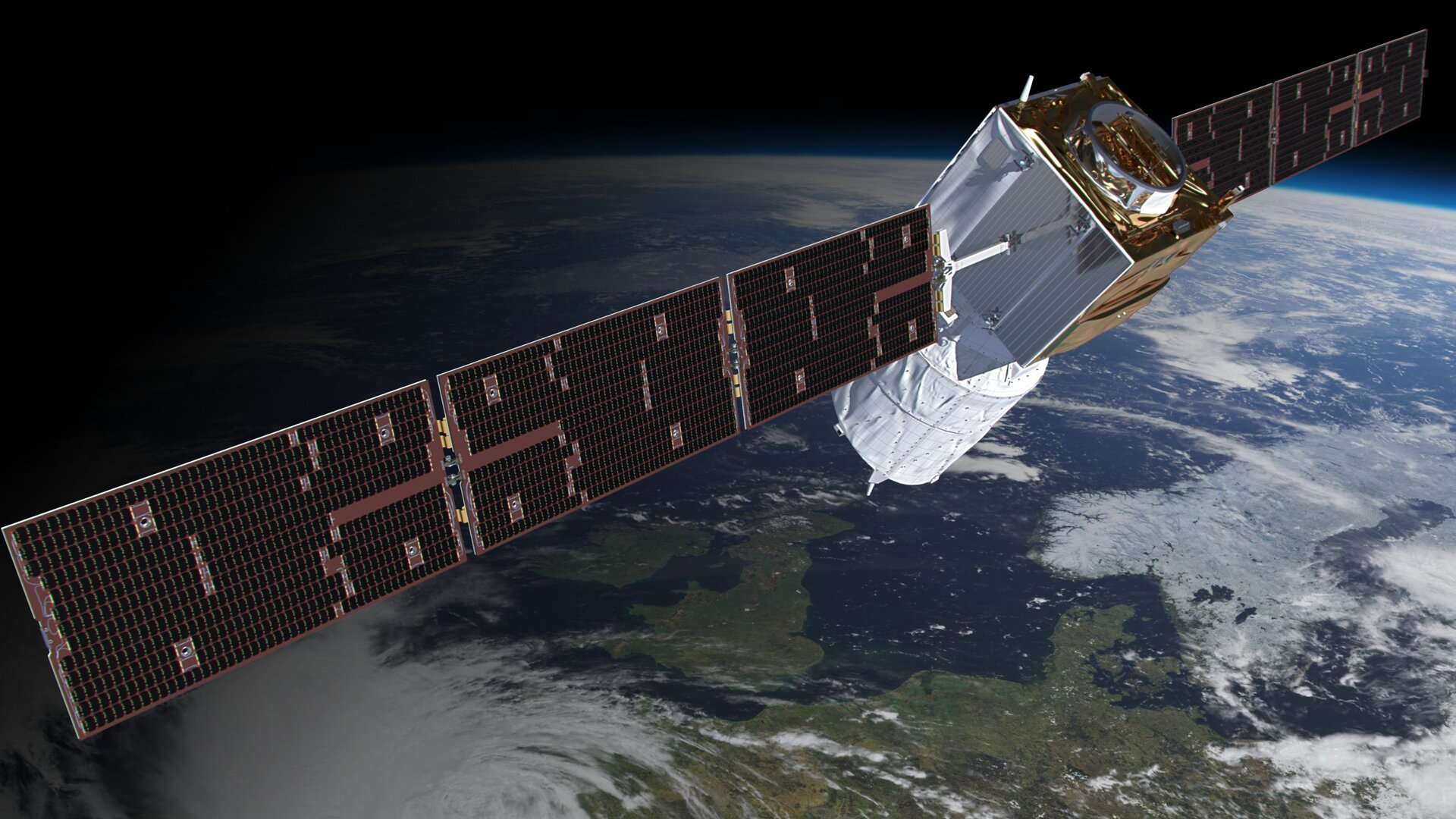
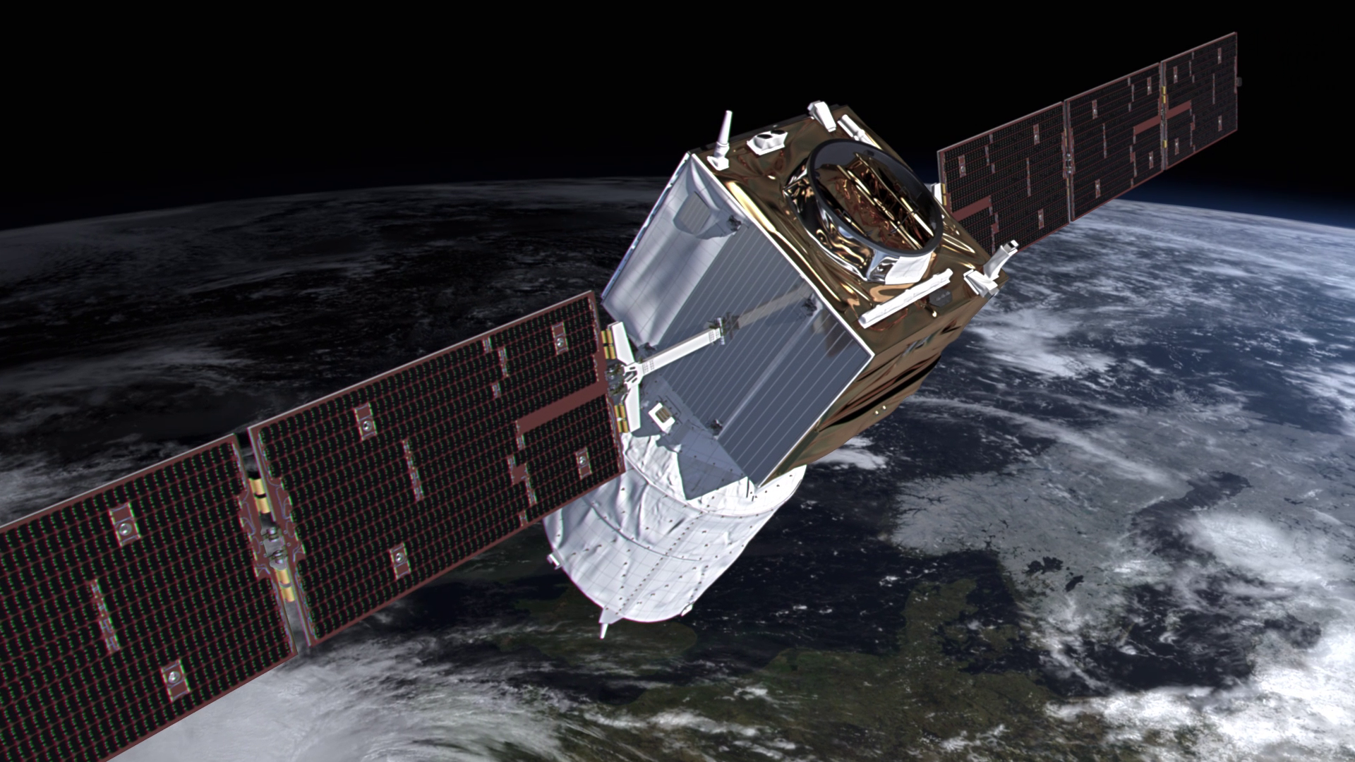
The Aeolus satellite carried just one large instrument – a Doppler wind lidar called Aladin that probed the lowermost 30 km of the atmosphere to measure the winds sweeping around our planet.
Access the video
Back to Aeolus homepage |