Aeolus satellite
Although developed specifically for Aeolus, the design of the satellite is based on a heritage of ESA missions. The aim was to build a satellite that was simple to operate to reduce costs and prepare for similar future operational missions.
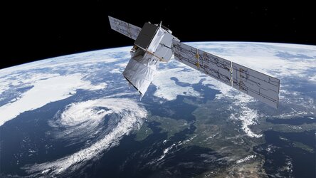
Aeolus orbited in a Sun-synchronous, dusk/dawn orbit, 320 km above Earth. This is a relatively low orbit and a compromise between acquiring the measurements and keeping fuel consumption to a minimum. A lower altitude increases the amount of fuel needed to maintain a steady orbit over the life of the mission.
The dusk/dawn orbit – where the satellite crosses the equator at 06:00 and 18:00 (local time) – provides maximum illumination from the Sun and a stable thermal environment.
Observations of the wind were taken from the night-side of the satellite to avoid the solar background. While orbiting over the hemisphere experiencing winter, the satellite was in Earth’s shadow for up to 20 minutes per orbit. This meant that the satellite was subjected to huge temperature changes as it passed from day to night. The thermal design was, therefore, robust.

Access the video
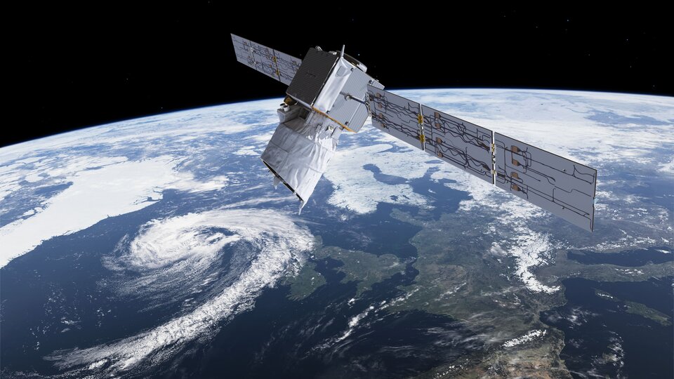
Aeolus carried a state-of-the-art precision pointing system to point its Aladin instrument towards Earth’s atmosphere. To yield accurate wind profiles, the pointing system had to be extremely stable and had to meet very demanding standards.
Keeping the Aladin laser system cool posed a technical challenge. This was resolved by engineering a complex radiator on the dark side of the satellite to radiate excess heat back out into space. The radiator was connected to the laser system by a large number of heat pipes.
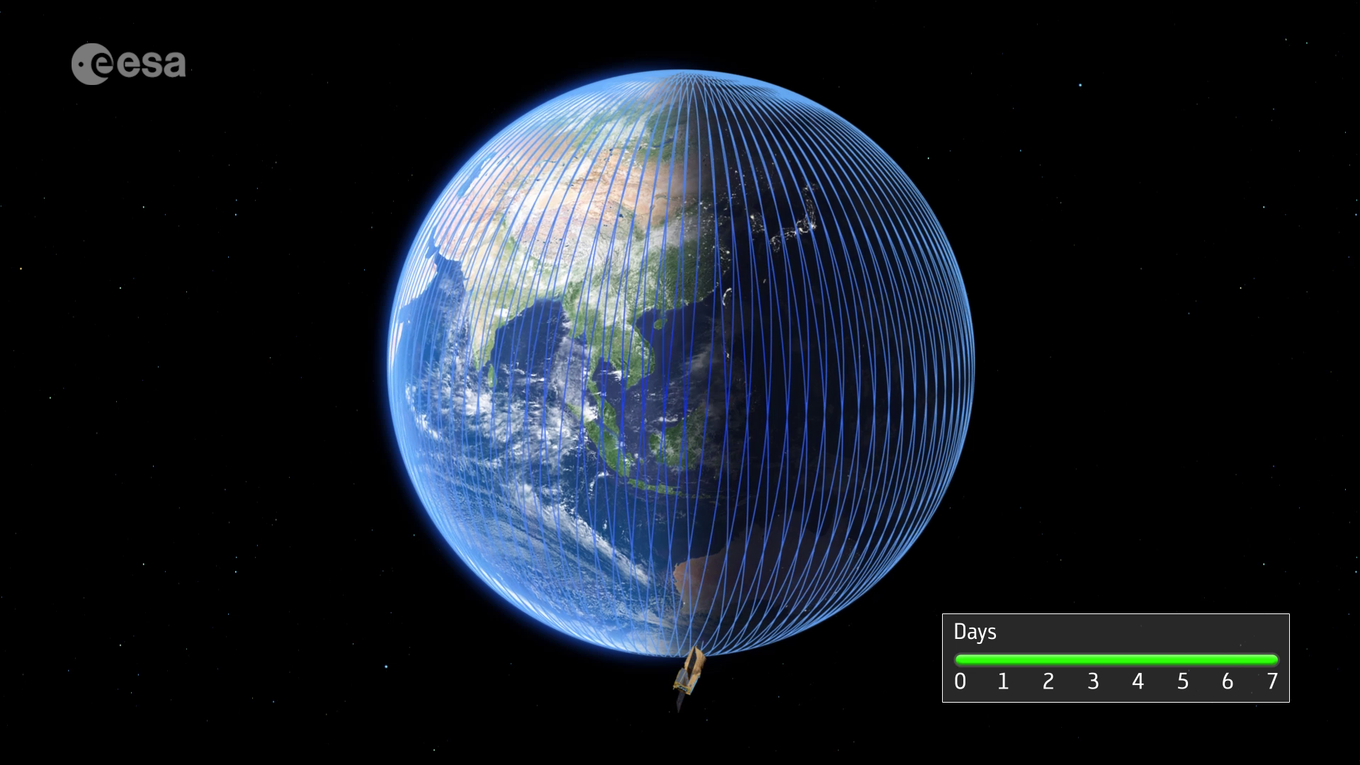
Once per orbit, the data were sent to a ground station in Svalbard, Norway. For a polar-orbiting satellite, a ground station at high latitudes is ideal for fast data delivery. However, any satellite receiving station with an antenna dish more than 2.4 m across could have been used if data were required more urgently than within three hours.
The data were transmitted from the receiving station to the processing station where the measurements were transformed into wind profiles. These processed data were then sent to various meteorological offices to be used in weather forecasts. The ground processing system was set up to provide data processing and delivery as fast as possible.
When it was launched, the satellite weighed 1360 kg including fuel, and was taken into space on 22 August 2018 on ESA's Vega rocket from Europe’s Spaceport in French Guiana.