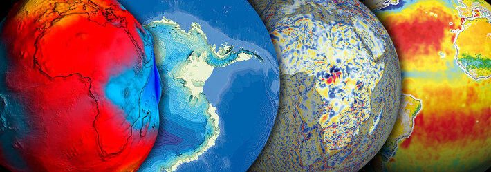
Overview
Our home as well as our workplace and main source of sustenance, the land surface of the Earth is a fixed resource – but in a world experiencing unprecedented rates of population growth and urbanisation it is a resource in ever-greater demand.
Inventories from orbit
Increasing the overall productivity of our 148 million square kilometres of land means making use of it in a more sustainable and efficient manner. The first stage is to make an inventory of how land is used at the moment – and Earth observation is an objective and cost-effective means of carrying this out.
And because satellites have been monitoring land cover since the 1960s they have acquired a valuable data archive that can be 'mined' to learn about how our use of the land has changed through the years, highlighting ongoing shifts such as growing urban encroachment onto farmland.
Estimating productivity
The overall productivity of agricultural land can be more accurately estimated using Earth observation data. Obviously satellites can quickly record the total land under acreage. They can also differentiate between different crop types, along with soil moisture levels and overall biomass density and plant health.
Crop acreage maps can also be combined with meteorological data and knowledge on local soil conditions and agricultural practices to create future crop yields predictions with a high level of accuracy: a valuable resource for markets as well as decision makers charged with food security.
Smarter farming
Used in conjunction with satellite navigation systems such as Galileo, data from space can also help make possible a technique known as precision farming – tailoring the crop sown and its cultivation to different conditions prevailing in different locations within a single field, resulting in increased productivity.
High-resolution data returned from space can characterise land conditions to a very high degree of accuracy. Variables such as land altitude, slope angle and aspect relative to the Sun can be integrated into geographic information system (GIS) software with in-situ information for more effective farm management.
Tools for forestry
Forests are a renewable resource can be mapped from orbit in just as much detail, providing managers with information tools enabling their exploitation to be carried out in a sustainable manner: keeping logging and reforestation efforts in balance and monitoring burn scars from forest fires.
The spread of settlements
Often encroaching onto more productive land, cities are growing remorselessly, with half of all the world's population now urban dwellers. On the ground it can be difficult to judge how this expansion is affecting the wider landscape, but satellite images can frame an entire urban conurbation in a single frame and combined across time they show distinctive patterns of growth - knowledge that urban planners require to do their jobs more effectively.