Overview
A global consensus has emerged that economic development needs to take place on a sustainable basis, employing natural resources to improve living standards in such a way that the ability of future generations to do the same is not compromised.
Global plan for sustainable growth
Back in June 1992 the United Nations Earth Summit taking place in Rio, Brazil formally adopted Agenda 21, a global action plan for sustainable development.
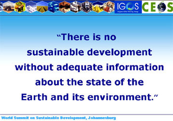
In August 2002 the World Summit on Sustainable Development in Johannesburg, South Africa, renewed the goals of Agenda 21, and emphasised the special role that space-based systems can play in carrying them out.
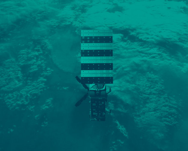
Earth observation satellites supply data that, together with computer modelling and in situ measurements, can be used to ensure that economic development does not take place at the expense of the environment's irreplaceable resources.
Space-based resource monitoring
Satellites make it easier to monitor changes in forest and vegetation cover, protect and manage agricultural systems and safeguard water resources.
Forests are both economic and environmental resources, and careful stewardship is required to balance these roles, as well as protect them from hazards like fires and acid rain. Satellite-derived forest maps provide up-to-date inventories of vast areas of forests, identifying separate tree species and overall biomass density and forest health.
Farming and fishing are both susceptible to extreme weather conditions. Crops can be destroyed by long periods of drought, flooding or by pests such as locusts, while fisheries can be affected by changes in sea temperature or depleted by pollution.
Satellites cannot change the weather but satellite data can provide adequate warning to help farmers and fishermen avoid the worst. By characterising landscapes in more detail than is available from ground surveys alone, land cover maps and digital elevation models can be created that contribute to increases in agricultural productivity.
Protecting and prospecting
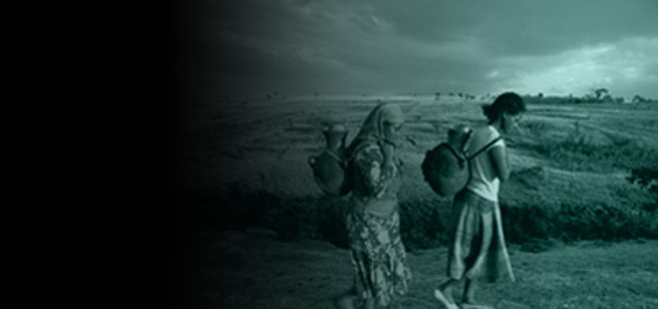
Water resources are finite – and may become more so as a consequence of climate change – but are also easily contaminated. Earth observation can show the entire drainage basin of a river or lake with a single image, highlighting potential water pollution dangers.
By detecting tiny subsidence events not perceived from ground level they can help find new water sources in the shape of subterranean aquifers. Satellites are also used to prospect for minerals, identifying geological structures linked with mineral deposits or 'seeing' outcrops directly using multi-spectral sensors.