Renewable energy development
The Sun is a limitless natural resource. The Earth is constantly bathed in solar radiation that heats the planetary atmosphere, oceans and land surfaces while also driving global wind patterns and ocean currents.
Sector on the rise
Solar, wind and wave energy are all renewable sources of power, and interest in this energy sector is on the rise. Europe is already the world leader in renewable energy, and the European Commission has pledged that renewable sources will make up 22% of the continent's energy supply by the end of this decade, up from a baseline of 14% in 1997.
The energy is free but its efficient exploitation requires careful planning. Satellite data can assist with this process by helping to select the best sites for building new renewable energy plants, and provide objective data for potential investors to consider likely plant yields.
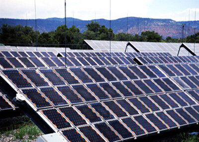
Optimising energy yields
And by monitoring solar, wind and wave levels space-based instruments can ensure that already constructed plants work to optimum capacity.
For solar power plants, meteorological satellites such as ESA's MSG can provide global sunshine maps - combining information on overall solar irradiance and average cloudiness – which can be used along with other space-derived products such as digital elevation models for pinpointing the sunniest slopes within a specific landscape for site selection.
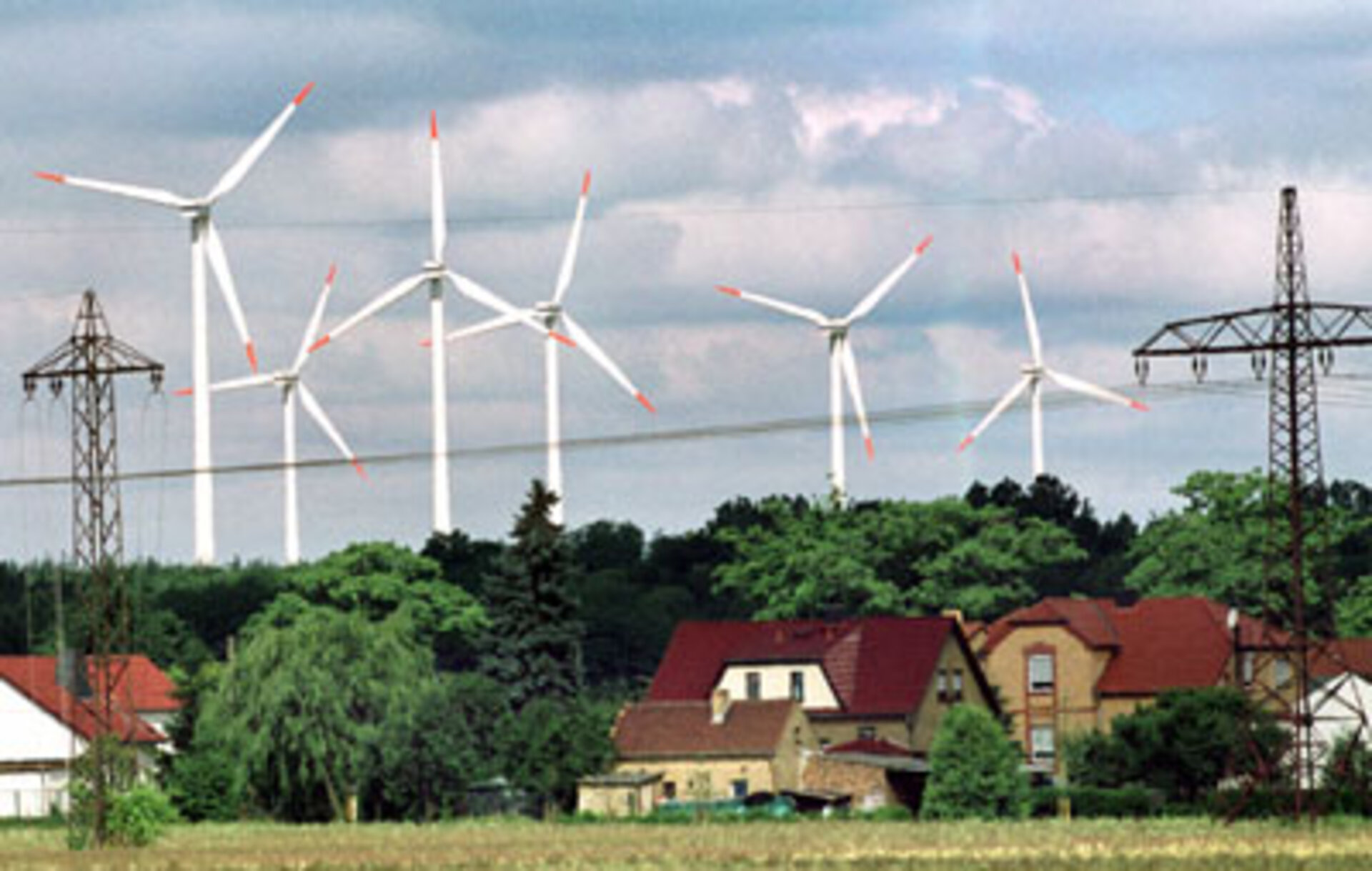
Measuring offshore wind
For windfarms on land, satellite information on land use, surface topography and radar-derived values for roughness could supplement the regional wind atlases currently used to choose a location. But offshore windfarms are more productive, and with land-based sites increasingly saturated most future windfarms will be constructed in the coastal ocean.

Here satellite data really come into its own, because there is little offshore wind data available to industry. In-situ measurements are very expensive in the offshore environment – a single meteorological mast might cost a million Euros a year – and provide figures for only a small area, compared to the wide panorama available from space sensors such as the scatterometer aboard ESA's ERS spacecraft.
Average wave height can be easily derived from measurements of the sea surface by space-based altimeters and radar sensors, and the movements of sea currents and eddies can also mapped.
Satellite data also has a role to play in speeding up the environmental assessment process required before plants can be built, and space-based radar can also provide shallow water bathymetry maps to help plan their construction.