Land services
The objective of the Copernicus Land Monitoring Service is to provide land-cover information to users in the field of environmental and other terrestrial applications.
The Land Monitoring Service started its activities in mid-2011 as part of the GMES Initial Operations (GIO) and became operational in 2012.

The current service is articulated in three components:
A global component – producing land information through a wide range of biophysical parameters in near-real time and on 10-day frequency with global coverage. These parameters describe the state of vegetation (e.g. leaf area index), the energy budget (e.g. albedo) and the water cycle (e.g. soil moisture index).
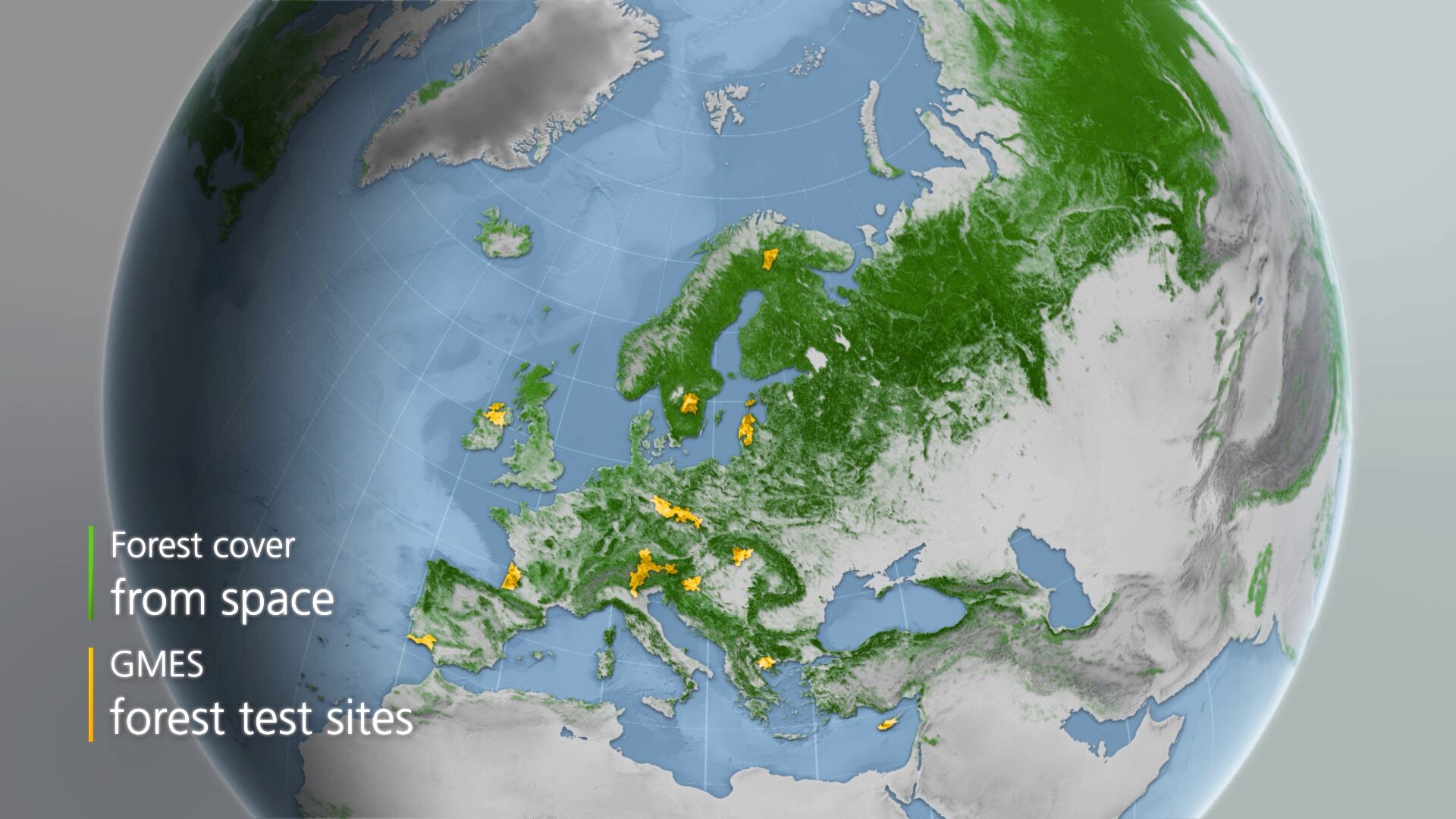
A Pan-European component – producing land-cover and land-change maps at continental scale as well as geophysical and vegetation parameters for seasonal and annual change monitoring. Initial activities include the provision of a pan-EU land-cover map for 2012 (which is an extension of the CORINE Land Cover achieved in 2006) and of the corresponding change product between 2006 and 2012. In addition, five high-resolution layers on land-cover characteristics will be produced for artificial surfaces (imperviousness layer), forest areas, agricultural areas (grasslands), wetlands, and small water bodies.
- A local component – aiming at providing detailed information, complementary to the products of the Pan-European component, for specific areas of interest (e.g. urban atlas, biodiversity hot spots – riparian areas).
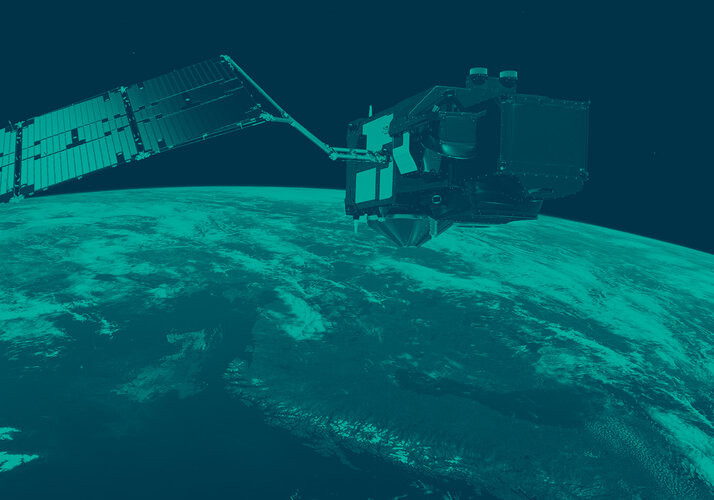
The Sentinel satellites provide substantial benefits for the land monitoring applications.
In particular, Sentinel-2, with its 13 bands covering the visible to the shortwave infrared spectrum allows an efficient mapping of vegetation at 10–20 m resolution, suitable for instance for pan-European high-resolution products. With its wide swath of 290 km and two satellites in orbit, the mission significantly reduces the number of images needed to cover the continent and result in a very frequent revisit time (five days at the equator).
The production of the next CORINE land-cover update will be facilitated by frequent revisit time, making the acquisition of multi-date images possible. This allows changes to be detected more frequently.
Such frequency also increases the possibility of getting cloud-free images, particularly in regions prone to cloud cover such as the north and tropical regions. Sentinel-2’s high re-visit cycle also opens possibilities for producing higher-resolution bio-geophysical variables.
Sentinel-3, with its medium-resolution optical and thermal infrared sensors, is of particular relevance for the global land monitoring. This guarantees continuity and enhancement of Envisat within an operational frame. Sentinel-3’s innovative altimeter also allows further advancements for monitoring water levels of rivers and lakes worldwide.