
Over land
While Sentinel-3’s radiometer measures the temperature of the sea surface over oceans, it also has an important role to play over land.
It is used to detect heat stress, which is useful for improving agricultural practices, and it is used to monitor urban heat islands. As cities continue to expand, understanding how heat islands develop is important for planners and developers.
Importantly, the radiometer includes dedicated channels for measuring fires. This helps to map carbon emissions from burnt biomass and to assess damage and estimate recovery of burned areas.
Information to help manage forest fires is available using Sentinel-3 measurements combined with meteorological forecasting data. In addition, forests can be monitored systematically to assess risk and develop efficient plans to prevent forest fires.
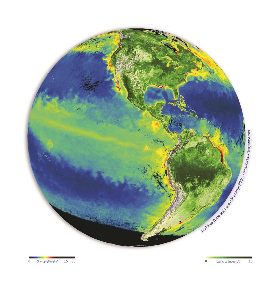
As well as measuring biological activity in the upper ocean, Sentinel-3’s Ocean and Land Colour Instrument also provides unique and timely information about vegetation state by measuring variables such as leaf area index, fraction of absorbed photosynthetic active radiation in the plant canopy and terrestrial chlorophyll index.

This is not only important for mapping our changing land, but also for agricultural management and food security.
With a swath width of 1270 km and 21 spectral bands, the Ocean and Land Colour Instrument has a faster revisit time and extends the coverage and spectral range of Sentinel-2’s multispectral imager, albeit with much lower resolution. The two missions are therefore complementary for land applications.


