Sentinel-3 stacks up
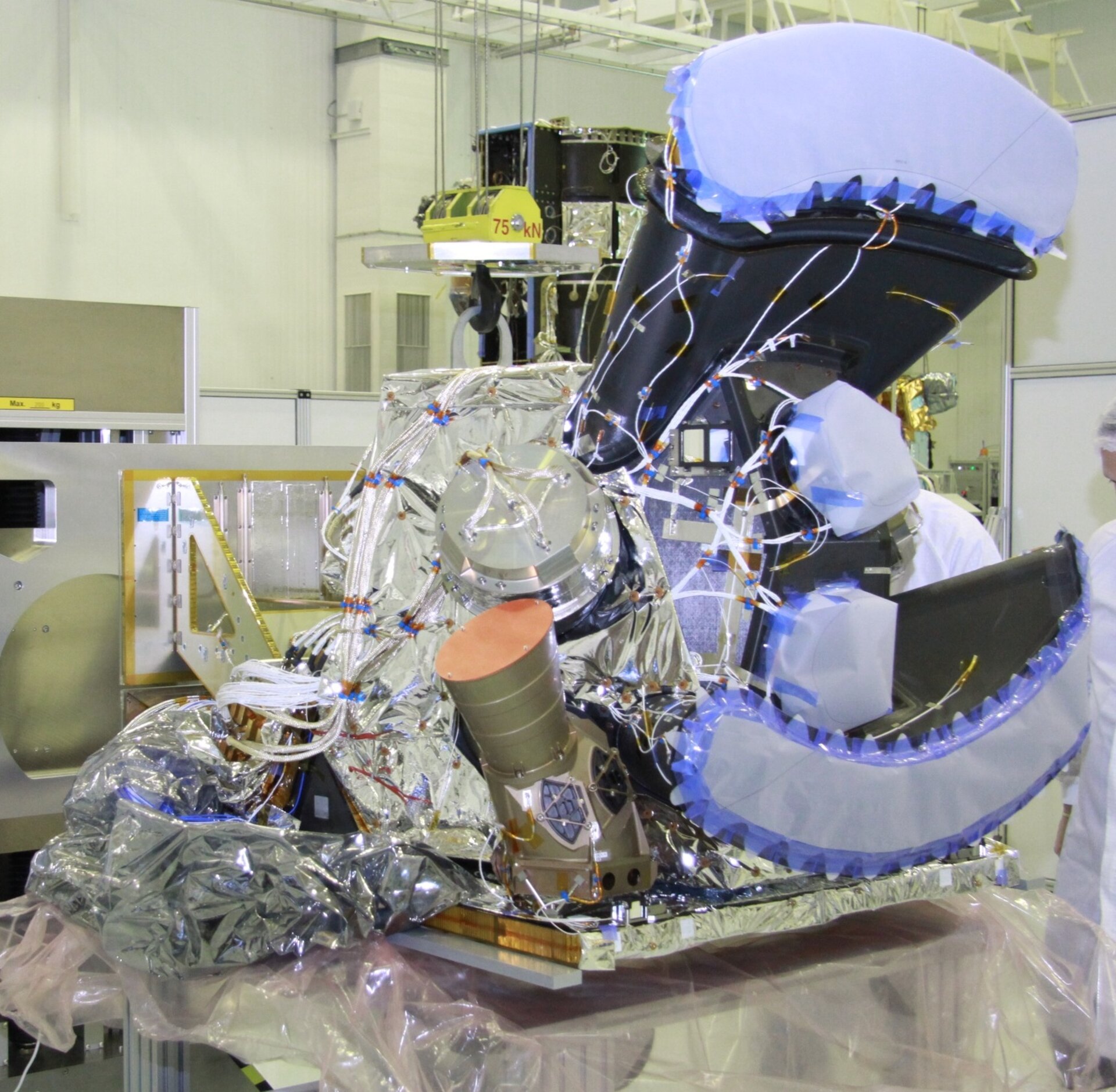
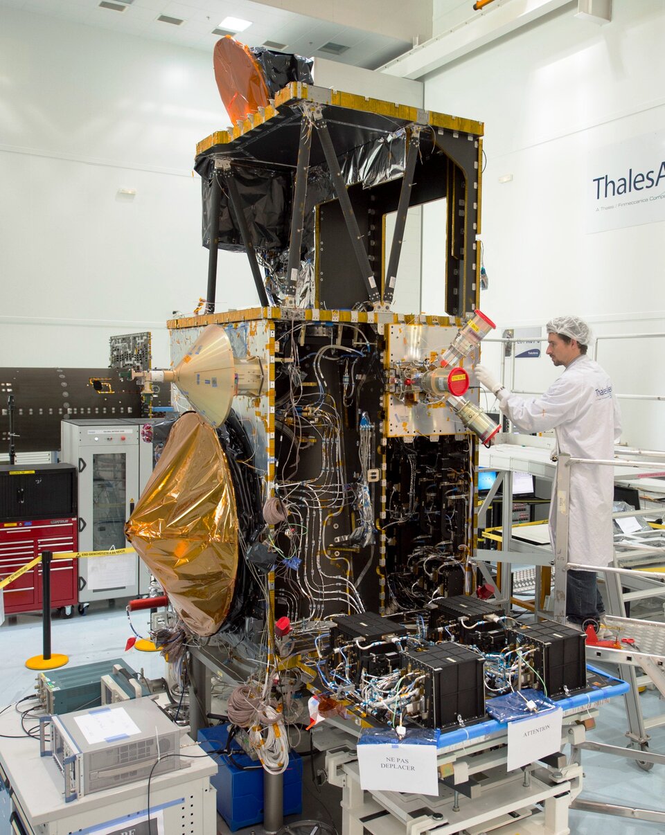
Over the last year, engineers have been carefully testing and piecing together the multitude of components that make up Sentinel-3. The recent arrival of the infrared radiometer is a milestone in the exacting process of building this upcoming Copernicus mission.
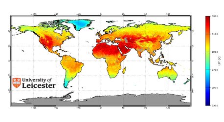
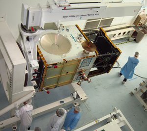
The Sea and Land Surface Temperature Radiometer, or SLSTR, just delivered to Thales Alenia Space in Cannes, France, is one of the main instruments carried on Sentinel-3. As its name suggests, this new sensor will map the surface temperature of Earth’s land and oceans.
Drawing on sound heritage from Envisat’s Along Track Scanning Radiometer, this improved instrument will provide Copernicus users with timely and accurate information for maritime safety, weather services and climate monitoring. Developed by Selex ES in Italy, it also includes novel detectors for monitoring wildfires.

Access the video
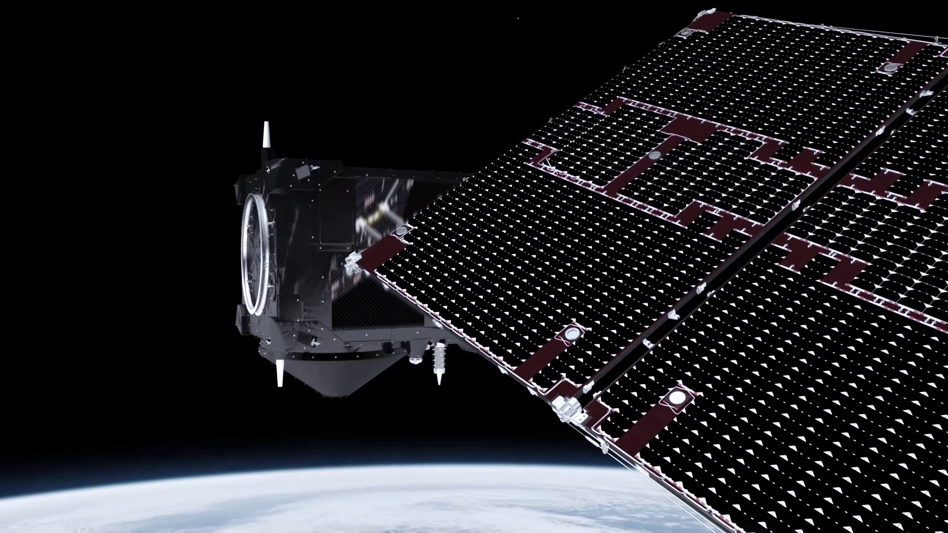
The Sentinel-3 mission is designed as a two-satellite constellation for optimal global coverage and data delivery. Sentinel-3A is expected to be launched in mid-2015 and Sentinel-3B will follow about 18 months later.
The two identical instrument packages and satellites are therefore being built and tested in parallel.
The radiometer now at the prime contractor’s facilities in Cannes is destined to fly on the Sentinel-3B satellite. However, as part of a time-saving strategy, it is being used for stringent compatibility testing with Sentinel-3A.

Following a round of thorough tests already carried out in Italy, the sensor will be now subjected to vibration and functional tests before joining Sentinel-3A late in May.
It will then undergo a full satellite test campaign before being replaced by a fully calibrated SLSTR early next year.
The development of Sentinel-3A’s Ocean Land Colour Instrument (OLCI) is also progressing well. The electrical tests are almost finished and will be followed by performance tests in a vacuum, simulating the environment of space.
With 21 bands at 300 m resolution and offering global coverage in less than four days, OLCI will provide measurements to bio-geochemists and ecosystem modellers to support Copernicus water quality and land-monitoring applications. It will be mounted on the satellite after SLSTR.
These two sensors are the most complex of the instrument package and are the last to be integrated into the satellite.
The Synthetic Aperture Radar Altimeter, which maps global sea-surface height, the topography and extent of ice and can be used to monitor the height of lake and river water, and the microwave radiometer, which contributes to the accuracy of the altimetry mission, have already been installed on the satellite.
The Sentinel missions mark a new era in Earth observation focusing on delivering a wealth of operational data for decades to come.
The six different missions carry a range of state-of-the-art technologies to supply a stream of complementary imagery and data tailored to the needs of Europe’s environmental monitoring Copernicus programme.
Data from the Sentinels are used worldwide and are free of charge.