A hot topic: Earth’s temperature
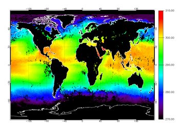
Ground and sea surface temperature
Envisat’s Advanced Along-Track Scanning Radiometer (AATSR) records global ground and sea surface temperature. Tracking sea surface temperature over a long period is arguably the most reliable way researchers know of measuring the precise rate at which global temperatures are increasing and improves the accuracy of our climate change models and weather forecasts.
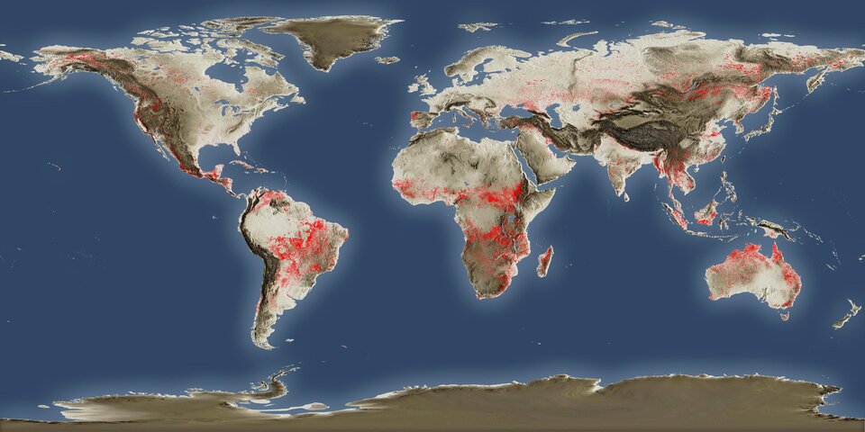
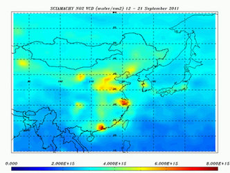
World Fire Atlas
Envisat continuously surveys fires burning across the Earth’s surfaces. Working like a thermometer in the sky, the sensor measures thermal infrared radiation to take the temperature of Earth's land surfaces. Temperatures exceeding 308ºK at night are classed as burning fires. The data is used to produce the ATSR World Fire Atlas, which is available to users online in near-real time. Even if the atlas is not supposed to pick up all fires due to satellite overpass constraints and cloud coverage, it is statistically representative from one month to the other and from one year to the other.