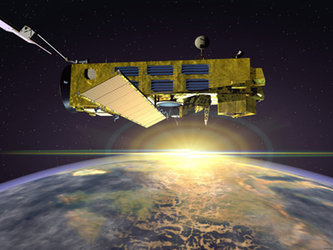
Envisat's applications
Envisat has many specific applications. Some of the satellite’s observations assist with solving basic science questions, such as how does the topography of the ocean change with time, and how can this information be used to predict ocean circulation. Ocean circulation, in turn, has a major impact on weather patterns and climate.
Other questions have more immediate relevance to the political and commercial worlds. For example, how can Envisat’s observations help in monitoring compliance with environmental treaties or the selection of wind farm locations at sea?
Linked from this page are examples of a number of ways in which Envisat can deepen understanding of the Earth system and contribute to Europe’s commercial hopes for Earth observation. These examples are the tip of a very large iceberg and are intended only to give a flavour of the promise of Earth-observing satellites. Scientists around Europe are already exploring the information Envisat relays to Earth.
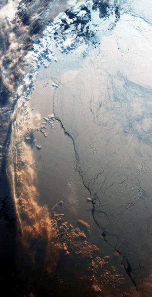
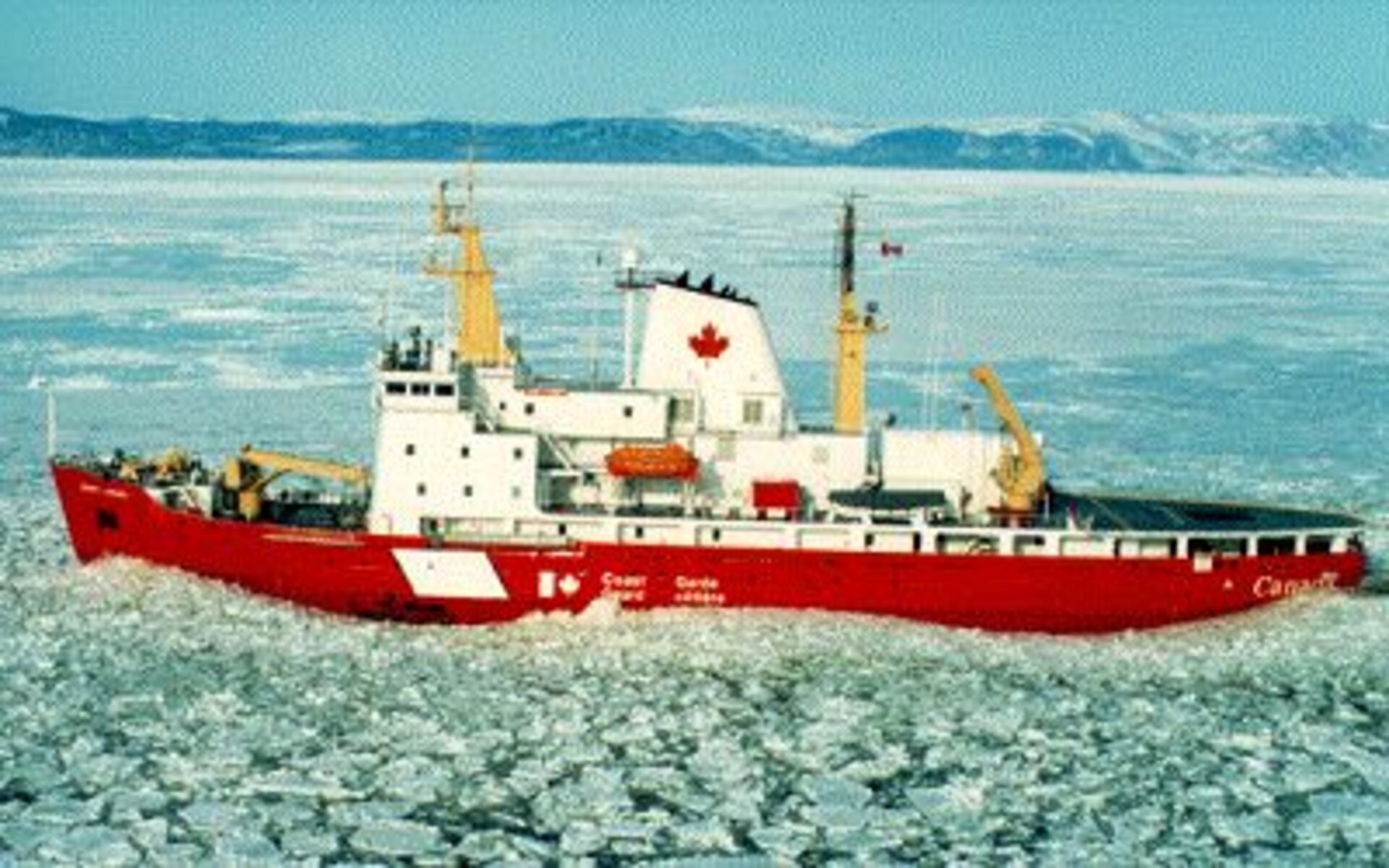
Envisat and ice mapping

Every winter thousands of vessels ply the busy shipping channels of the Gulf of St Lawrence to reach the great ports of Quebec and Montreal City. Envisat helps the Canadian satellite, Radarsat, monitor the ever changing ice patterns, and so make navigation of Canada’s primary commercial shipping channel safer.
Like Radarsat, Envisat carries a synthetic aperture radar (ASAR). The instrument provides images that permit the Canadian Ice Service to release frequent ice maps to the masters of ice breakers and visiting ships.
Such maps are equally important in the Canadian Arctic during the summer. At this time of year the ice is – just about – passable, and ships carry supplies of heavy goods and fuel to the Innuit people of northern Canada.
Research
The Canadian Ice Service is interested in Envisat data for research as well as operational needs.
For example, under some weather conditions it is hard to tell whether the imagery from synthetic aperture radar is showing ice or water. Skilled forecasters are needed to make a value judgement about what they are seeing.
ASAR has a facility (alternating polarization of the radar beam it emits and detects) to help solve this dilemma.
Envisat and wind energy
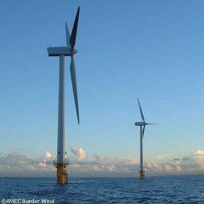
Wind energy is one of the most promising renewable energy sources currently available. Already wind turbines contribute significantly to electricity generation in Europe. In Denmark, for example, wind farms now meet roughly 15 per cent of the country’s electricity demand. The percentage of electricity generated by wind farms will grow, helping to meet a European Union target to increase the amount of energy generated by renewable sources from 14 per cent in 1997 to 21 per cent in 2010. Many wind farms around the world will be at sea.
Envisat’s synthetic aperture radar has the potential to help planners decide on the optimum location for wind farms at sea. The aim is to find out where the wind energy is greatest from season to season so that wind farms can be sited where they will generate the maximum amount of energy.
Further reading
“Determination of wind energy from SAR images for siting windmill locations”, ESA EO Quarterly 59 June 1998, pp 1-7.
http://www.nrsc.no/WEMSAR