Why we need MSG
The weather – the state of Earth's atmosphere – is a major force influencing our everyday life, travel and work as well as the global economy.
Powered by the Sun, the atmosphere is a dynamic medium, exhibiting varying air temperatures and pressures, wind speeds and aerosol content, with sharply shifting water vapour levels to cause clouds, rain or snow.
The weather is constantly changing, so accurate forecasting is vital for effective agriculture, industry and transportation. Weather forecasts can also save lives and money through warnings of extreme events such as storms, snowfalls or flooding.
Today, meteorologists are able to make weather predictions with accuracy approaching 80% for the coming 12–24 hours, with longer-range forecasts being useful up to six to seven days ahead. They have achieved this rate of success by harnessing all available data sources to monitor weather development and processes – weather satellites being among the most important.
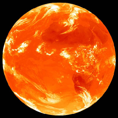
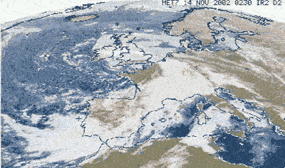
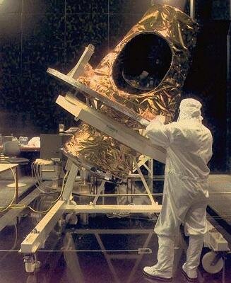
The four MSG spacecraft make up Europe's new generation of weather satellites. They replaced the original Meteosat series which were designed in the early 1970s. Compared to their smaller predecessors, the MSG series offers weather forecasters sharper views in a greater variety of spectral bands, returning 20 times the information at twice the speed.
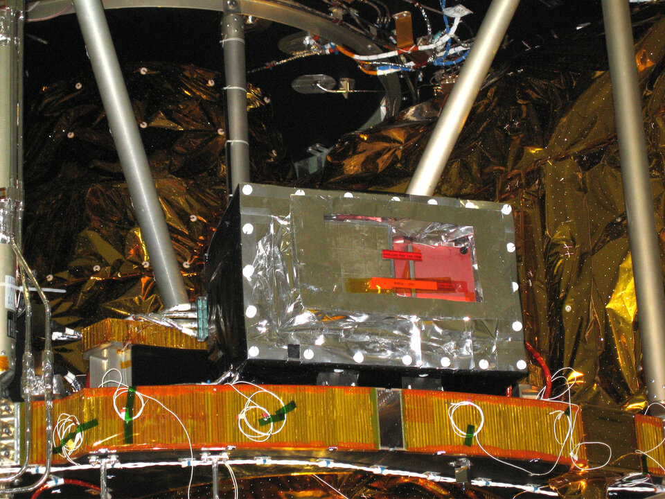
The main MSG instrument is called the Spinning Enhanced Visible and Infra-red Imager (SEVIRI). It builds up images of the Earth's surface and atmosphere in 12 different wavelengths once every 15 minutes, compared to three wavelengths once every 30 minutes for the comparable instrument on earlier Meteosat satellites.
MSG keeps close track of cloud development and so is more sensitive than its predecessor to rapid changes in weather. Four of the 12 SEVIRI channels look at sunlight reflected from Earth's surface and clouds – compared to just one on Meteosat.
The remaining eight channels monitor thermal infrared wavelengths - against two on Meteosat. Four of these are dedicated to measure the temperature of clouds, land and sea surface and the other four detect wavelengths emitted by water vapour, carbon dioxide and ozone in the atmosphere. By keeping track of the constituents of air masses a three-dimensional view of the atmosphere can be constructed.
The MSG images are also sharper: SEVIRI can pick out features as small as one kilometre across in the visible compared to 2.5 km for Meteosat. In the infrared, SEVIRI resolves features 3 km across compared with 5 km for Meteosat.
To guarantee continuity of service, one MSG will remain in geostationary orbit above Europe and Africa, with a second MSG on standby in a parking orbit nearby. Each MSG has a design life of seven years, so that the four spacecraft should support operational meteorologists until 2019 or later.
The new satellites are able to monitor the weather closely and quickly enough to allow accurate predictions of adverse weather over the next few hours anywhere over the MSG 'footprint'. That means airports get earlier warnings of impending fog, local authorities knowing when to grit the roads in advance of a cold snap, construction companies can better plan for wet weather and farmers being able to effectively plan harvests.
The rich imagery returned by SEVIRI has many additional scientific and environmental uses. Applications include monitoring the state of vegetation, identifying forest or vegetation fire outbreaks and tracking Saharan sand storms. SEVIRI imagery is being used to help provide warnings of volcanic eruptions in Sicily and serves as a core data source for an international project to measure sea surface temperature on a near-realtime basis, known as the Global Ocean Data Assimilation Experiment.
The MSG satellites retain all the capabilities of the first generation of Meteosat satellites, which have served Europe since the launch of Meteosat-1 back in 1977. This being so, their observations add to a valuable meteorology dataset extending over almost three decades, which can be used to better identify and understand potential long-term changes in climate – the weather for a given site averaged across a certain time.
The MSG satellites carry a second instrument as well as SEVIRI, useful for climate studies. The Geostationary Earth Radiation Budget (GERB) measures radiation originating on Earth from the Sun that leaves as scattered and reflected solar radiation as well as heat, looking for daily variations as well as long term trends.
By measuring the Earth's radiation balance on a continuous basis across day and night, from a higher orbit than any comparable instrument, GERB is helping climate scientists measure the energy source driving the general circulation of the atmosphere and assess if Earth as a whole is indeed warming up.
Based on the success of this activity, it is possible that one day Earth could be surrounded by operational GERB-type instruments in geostationary orbit to monitor its global climate fully and continuously.
Also included in MSG's payload are a communications package for re-broadcasting Eumetsat data to end users' ground stations and a transponder for search and rescue, operated by an international satellite system for search and rescue organisation, which achieves global coverage by having several such transponders on geostationary and other satellites.