Introducing SMOS
ESA’s Soil Moisture and Ocean Salinity (SMOS) mission is dedicated to making global observations of soil moisture over land and salinity over oceans.
By consistently mapping these two important components in the water cycle, SMOS is advancing our understanding of the exchange processes between Earth’s surface and atmosphere and is helping to improve weather and climate models.
The SMOS satellite was launched on 2 November 2009 and although designed as a five-year mission, it is still delivering key data to advance science and data that are used in various practical applications such as weather forecasting – reflecting its versatility and new synergistic opportunities.
SMOS is one of ESA’s Earth Explorer missions, which form the science and research element of the FutureEO programme. This family of satellite missions address key scientific challenges identified by the science community and demonstrate breakthrough technology in observing techniques.


Access the video
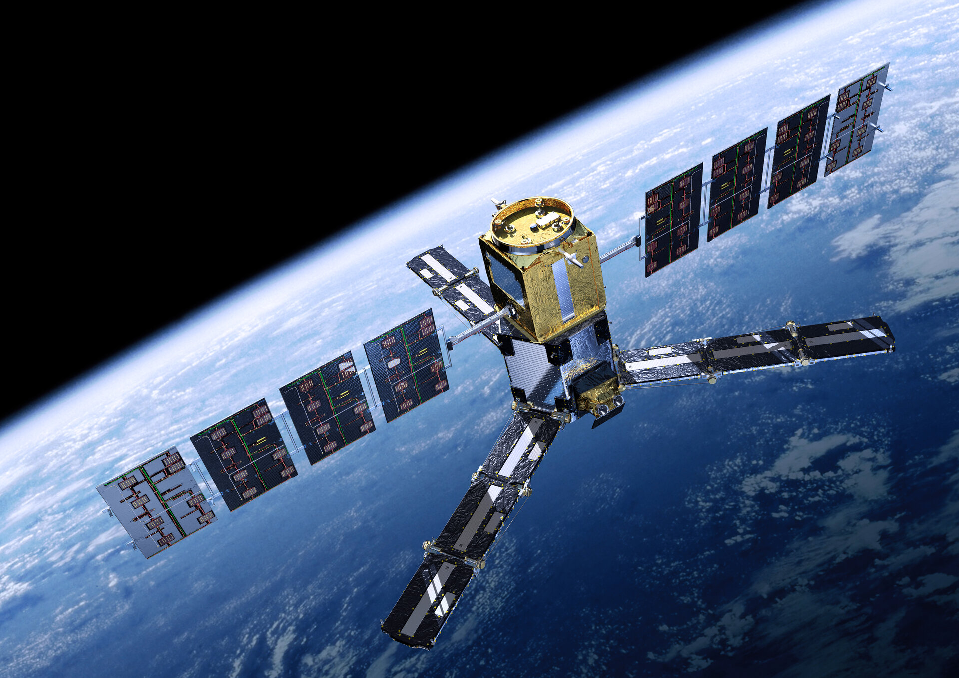
The SMOS satellite carries a novel interferometric radiometer that operates in the L-band microwave range to capture ‘brightness temperature’ images.
These images are used to derive global maps of soil moisture every three days, achieving an accuracy of 4% at a spatial resolution of about 50 km. Over oceans, SMOS maps salinity down to 0.1 practical salinity units (psu, averaged over 10–30 days in areas measuring 200 × 200 km).
Going way beyond its original scientific brief of delivering critical information to understand Earth’s water cycle, SMOS continues to demonstrate its suitability for new uses.
The most recent examples from this multi-talented mission include, for example, being able to provide information to measure thin ice floating in the polar seas accurately enough for forecasting and ship routing.