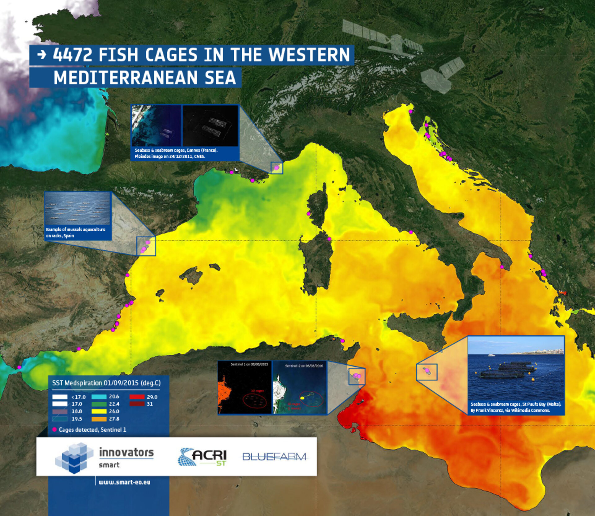
Sentinel-1 counts fish
Images from the Sentinel-1A satellite are being used to monitor aquaculture in the Mediterranean, in another example of the mission’s contribution to food security, as fisheries become the main source of seafood.
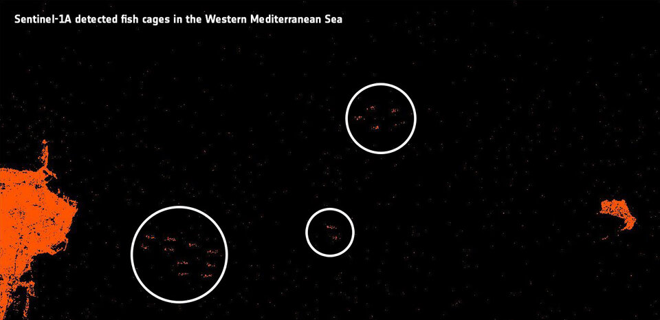
The satellite counted nearly 4500 fish cages over six months, mainly of mussel racks or finfish, along the western Mediterranean’s coastline. The number of fish hatching cages in the Mediterranean was not known before this survey.
Farming finfish, shellfish and aquatic plants is one of the world’s fastest growing food sectors, which already provides the planet with about half of the fish we eat.
Aquaculture surpassed wild fisheries as the main source of seafood in 2014, according to the UN Food & Agriculture Organization. This reflects the earlier transformation of land from hunting to farming.
The EU’s aquaculture furnishes a fresh, local supply of healthy seafood, following strict rules that protect the consumer, the fish and the environment.
ESA is promoting the innovative use of satellite data for aquaculture through its Sustainable Management of Aquaculture through Remote sensing Technology project, or Smart.
Remote sensing of oceans is a window into the marine ecosystem, providing essential information for their governance. Satellites can cover site locations, map aquaculture facilities, monitor meteorological events, provide early flood warnings and track water pollution.
Giuseppe Prioli, President of the European Mollusc Producers’ Association, says: “The services being tested in Smart could be very useful for supporting shellfish industry in Italy. In particular, near-realtime data on water quality parameters at each farm, such as sea-surface temperature, chlorophyll content and turbidity, are important for farmers because they affect shellfish growth.
“Short-term forecasting of shellfish biomass will also help in planning the harvest. The assessment of the potential biomass yield in a given area, based on Earth observation data, could also be useful for reallocating farms or starting the farming of new species, such as oysters, along the Emilia-Romagna coast.”
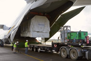
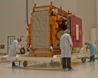
Launched in April 2014, Sentinel-1 carries an advanced radar instrument to provide an all-weather, day-and-night supply of imagery of Earth’s surface.
The mission benefits numerous services, which relate to the monitoring of Arctic sea-ice extent, routine sea-ice mapping and surveillance of the marine environment. This includes oil-spill monitoring and ship detection for maritime security, monitoring land-surface for motion risks, mapping for forest, water and soil management, and mapping to support humanitarian aid and crisis situations.
Its twin Sentinel-1B will soon create a constellation of two satellites orbiting 180° apart. The mission will be able to revisit a point on Earth in less than six days, providing more frequent coverage for aquaculture.