Overview
Ice reaches its grip across a significant portion of the Earth's land and ocean surface. The part of the world where snow and ice is formed is termed the cryosphere. It contains the majority of global freshwater and has a major influence on climate.
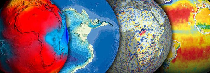
Cryosphere coverage
Seasonal snow cover extends over a maximum 31% of global land area – almost all of it in the northern hemisphere. A tenth of Earth's land area is covered by glaciers and ice sheets, including the entire continent of Antarctica. A further 24% of the Earth's bare surface contains permafrost, with further regions undergoing seasonal freezing and thawing.
During the height of winter in each hemisphere, sea ice can cover 14 to 16 million square kilometres of the Arctic Ocean and 17 to 20 million of the Southern Ocean, pulling back to less than half that extent during their respective polar summers.
A store of freshwater
Stored within the cryosphere is around 77% of global freshwater – 91% of it found in the Antarctic ice sheet, the remainder within the ice sheet covering Greenland and glaciers found worldwide.
The cryosphere is both influenced by and has a major influence on climate. And any increase in the melt rate of ice sheets and glaciers has the potential to greatly increase sea level. For this reason, researchers are looking to the cryosphere to get a better idea of the potential scale of climate change.
Earth observation provides an effective means of continuously monitoring the entire cryosphere, charting any alterations in response to climate, and looking for warning signs of changes in snow or ice reflectivity (known as 'albedo') along with thinning ice.
With Arctic temperatures already at their warmest for the last four centuries, measurements suggest sea ice extent has declined by 10% since the 1960s. The best means of accurately measuring both ice extent and thickness on an ongoing basis is space-based radar and altimetry instruments of the type flown on ESA's ERS, Envisat and CryoSat-2 spacecraft.
Ice mapping from space
Envisat’s Advanced Synthetic Aperture Radar (ASAR) instrument was able to simultaneously cover an area of the Arctic four times larger than ERS’s SAR. It could also distinguish between different types of ice, with a variable angled and polarised radar beam that can show whether ice is solid pack-ice or just thin 'pancake' ice.
Envisat's RA-2 Altimeter was designed to send thousands of radar pulses earthward every second to measure sea ice and glacier thickness. It featured an innovative 'four-wheel-drive' design that enabled it to keep better signal contact during previously difficult transitions between ice, land and open sea.
CryoSat-2’s main payload is the Synthetic Aperture Interferometric Radar Altimeter (SIRAL) and is able to measure ice-sheet elevation and sea-ice 'freeboard', which is the height of ice protruding from the water. Previous radar altimeters have been optimised for operations over the ocean and land, but SIRAL is the first sensor of its kind designed for ice.