
Understanding the changing ice sheets
Projects under ESA's Climate Change Initiative (CCI) are examining changes in the global environment. Ice sheets – masses of glacial ice of 50,000 square kilometres or more - are considered an essential indicator for climate change, particularly with respect to changes in sea level. The Ice Sheets CCI brings together an international consortium for the monitoring and modelling of ice sheet changes using satellite observations and computer simulations.
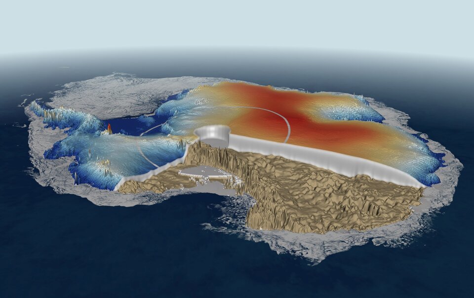
Models for ice sheet flow are not yet detailed enough to be certain of predictions of future sea levels, nor are the physical processes at the base of ice sheets fully integrated into the models.
The ice sheet modelling community is diverse and scattered and has been working with models of different complexity, different datasets, different resolutions, with their focus on different goals. This has begun to change in recent years, with ice flow modellers working together on the same models, and research groups forming around these models.
A number of these models are being coupled with climate models, making progress towards a combined model which can take into account the behaviour of ice sheets. It is particularly important to improve our understanding of the contribution of ice sheets to global sea levels.
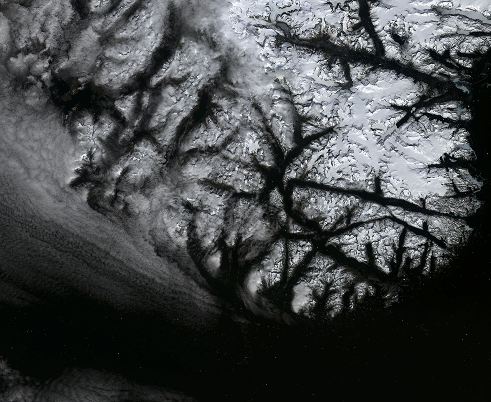
Greenland is an important ice sheet. The monitoring and reporting of Greenland Ice Sheet (GrIS) mass, and changes in it, has only a few formal channels, and there is a challenge to the international science community to develop a more organised approach.
The Ice Sheets CCI provides a structure for creating data products useful to those working on ice sheet models, remote sensing scientists, those working on broader climate and ocean models, and authorities and organisations who need to understand ice sheet behaviour for other decisions. Examples could include the planning of hydro-electrical power stations, and information on iceberg formation relevant to shipping and oil and gas exploration off the coast of Greenland.
This is a broad group of users, reaching into different scientific communities and broader interests. The Ice Sheets CCI aims to collect and collate relevant data in a usable form, making it available for diverse purposes.
Understanding sea level increase is especially relevant to future global climate change policies. The identification of where and when low altitude lands and islands could be submerged will allow for proactive measures of adaptation, and will support political decisions.
