

V for Vegetation
The ‘V’ in Proba-V stands for Vegetation. This mission is extending the data set of the long-established Vegetation instrument, flown as a secondary payload aboard France’s Spot-4 and Spot-5 satellites launched in 1998 and 2002 respectively. The latter satellite’s Vegetation instrument remains operational to this day.
The imager’s continent-spanning 2250 km field of view collects light in the blue, red, near-infrared and mid-infrared wavebands, ideal for monitoring plant and forest growth as well as inland water bodies.
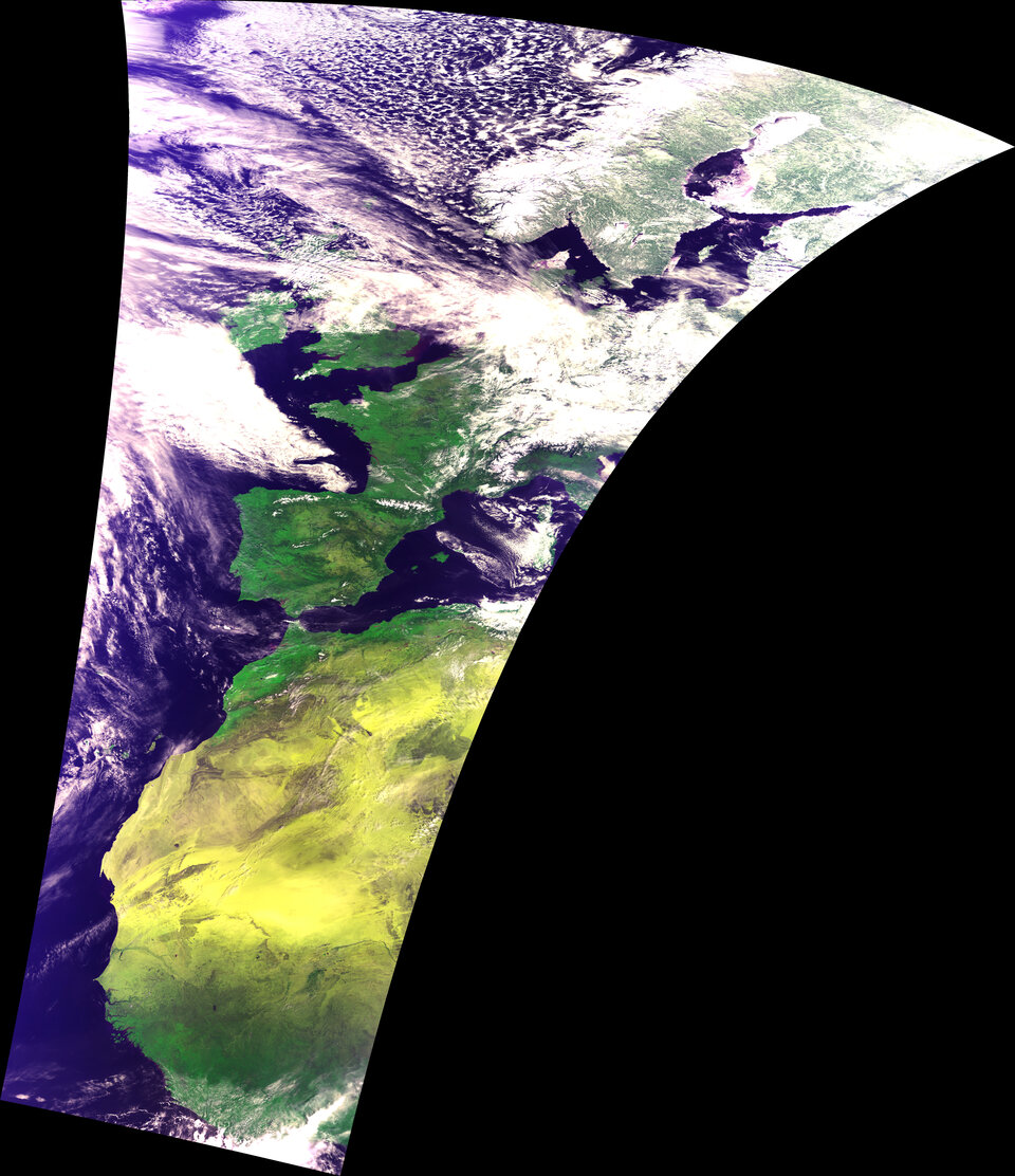
Like its Spot-based predecessors, Proba-V’s Vegetation instrument will build up a continuous daily picture of the state of vegetation across the majority of planet Earth: complete coverage of high latitudes each day, with 90% of equatorial regions also acquired within those same 24 hours. Within two days all of the planet’s land will be imaged.
Once cloud cover is accounted for, a complete composite of Earth’s land cover should be available to the scientific community and a significant number of operational data users every ten days.
Proba-V’s Vegetation instrument boasts improved spatial resolution from to its Spot predecessors: 350 m resolution compared to 1 km for Spot Vegetation, with 100 m resolution available within its central field of view.

