
Prototype mm-wave sensor to offer new view of Europe’s weather
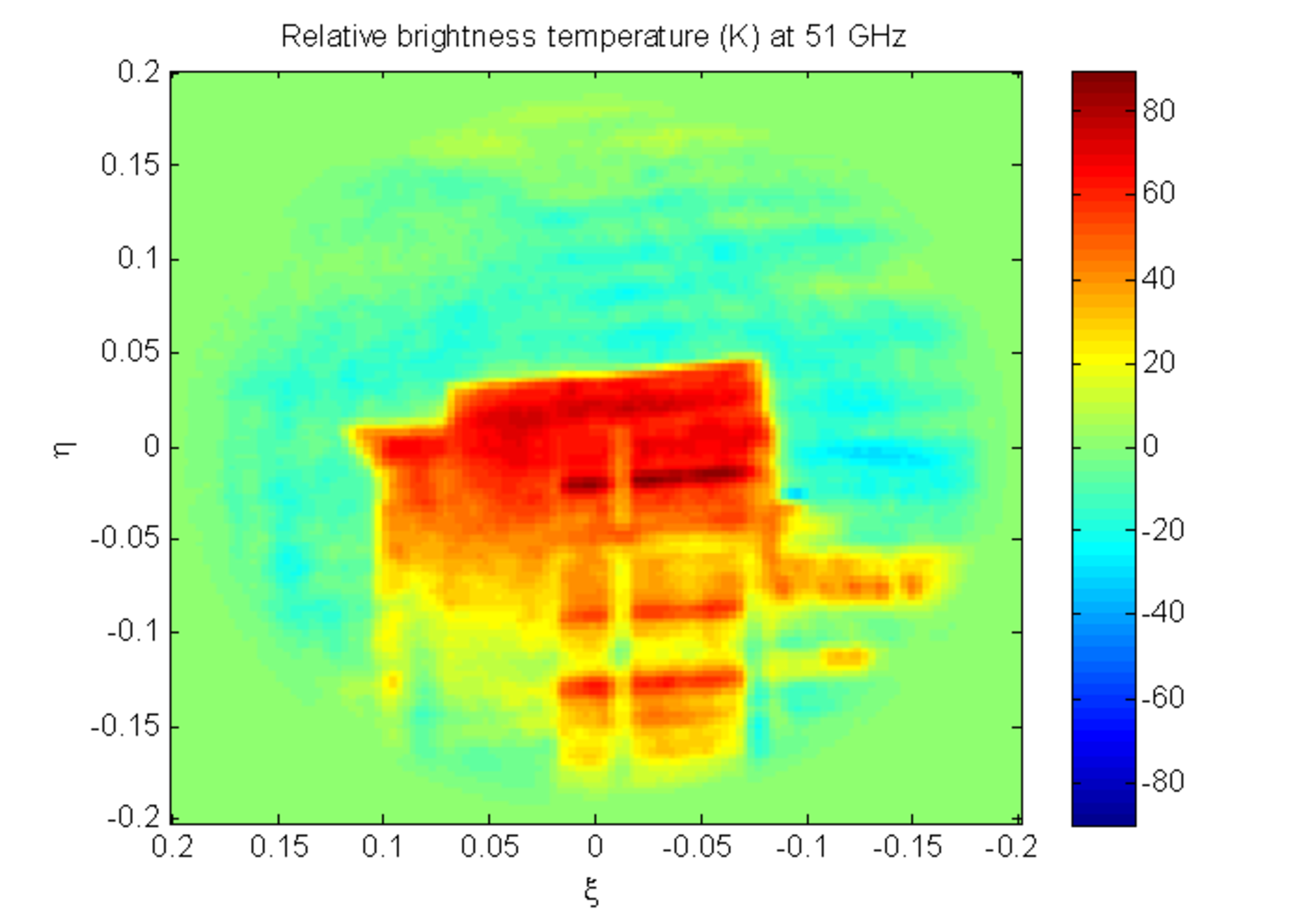
A new sensor for all-weather ‘nowcasting’ has produced its first outdoor image. ESA’s Geostationary Atmospheric Sounder works at millimetre wavelengths to see through clouds and rain. Its high resolution means it could operate from far away in space, delivering continuous wide-area observations to weather forecasters.
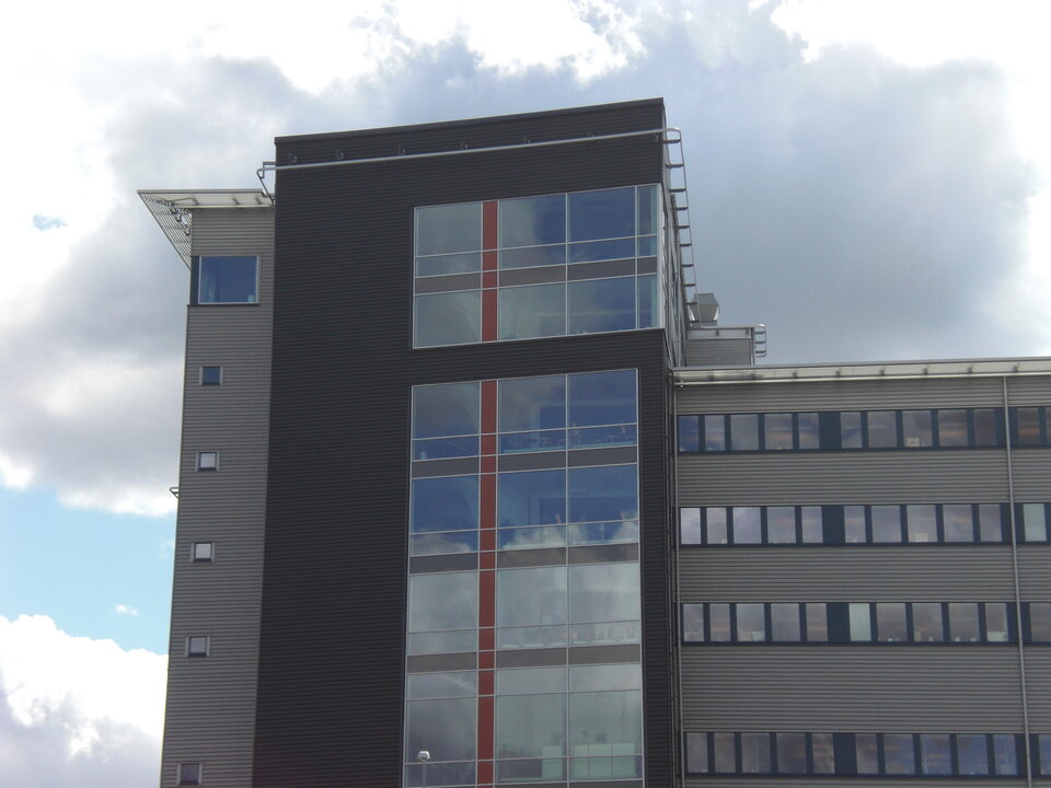
This test image was taken on 27 May outside RUAG Space AB in Gothenburg, Sweden – prime contractor for the Geostationary Atmospheric Sounder (GAS) demonstrator, with Omnisys Instruments as subcontractor – and shows a neighbouring building.
The GAS team also made a continuous measurement of the Sun for an hour and a half as it passed through the instrument’s field of view. These exterior images are part of a wider test campaign that could see an operational version in geostationary orbit in the future.
The design of GAS relies on a principle called interferometry, with separate signals from multiple antennas correlated together to produce a picture of otherwise impossible sharpness.
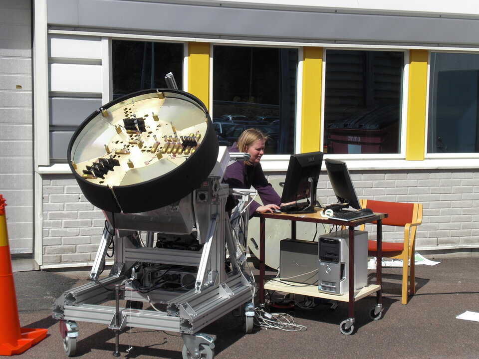
To reduce the number of antennas needed further, the demonstrator rotates at one degree per second, filling in further detail.
“These tests confirm that our initial thoughts and computer simulations were correct, and the concept of a rotating system also works in practice,” said Anders Carlström of RUAG Space.
The sensor is intended to work from geostationary orbit, 36 000 km up, which is the ‘sweet spot’ for weather satellites such as Europe’s Meteosat series. From here, they keep pace with Earth’s rotation and enjoy a full-disc view.
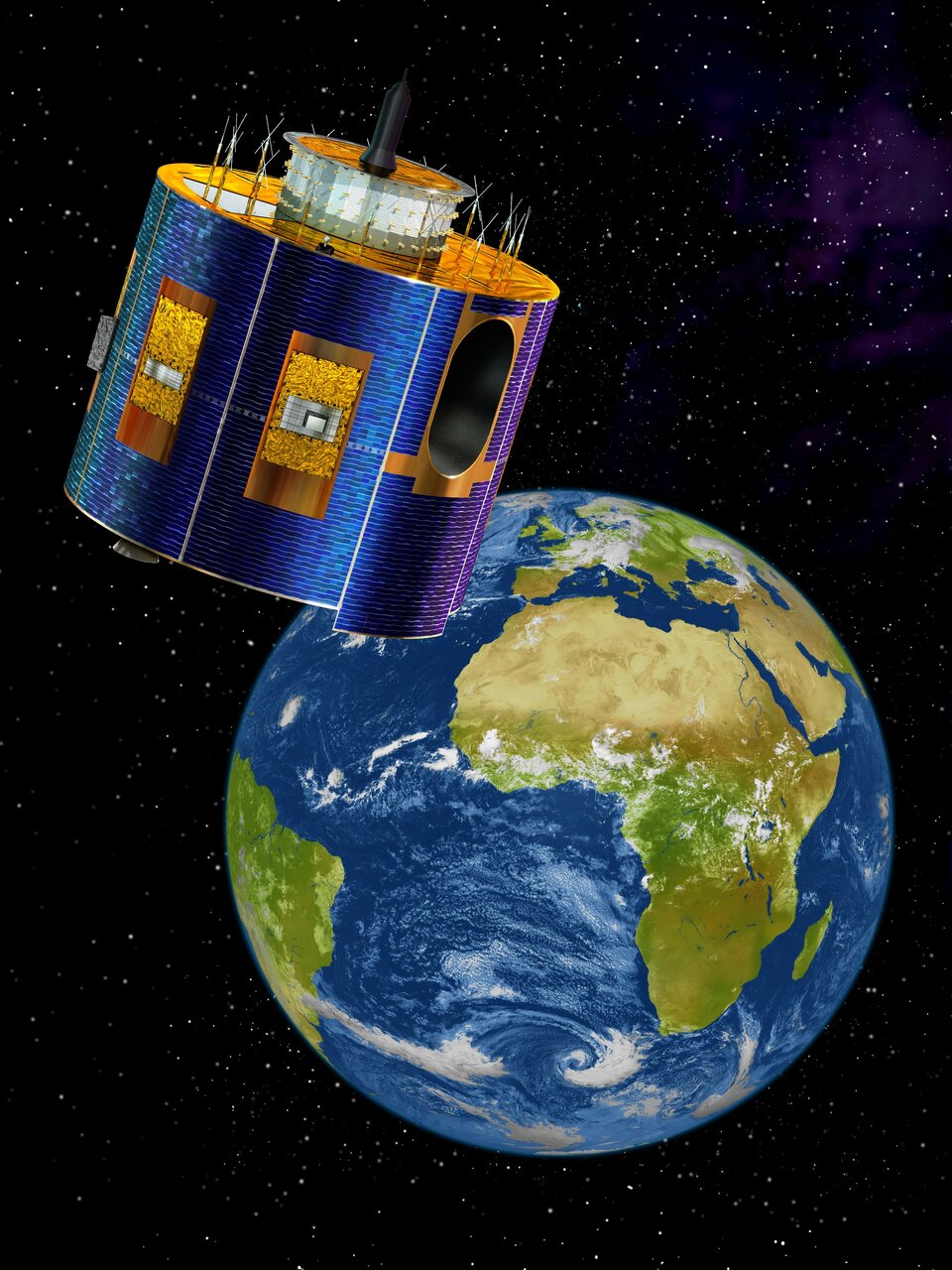
The Meteosat Third Generation will use infrared wavelengths to perform temperature and humidity soundings through the atmosphere – but infrared cannot penetrate clouds and precipitation, hindering accurate weather predictions.
To snatch data from beneath these blind spots, low-orbiting satellites such as Europe’s MetOp carry millimetre-wave sensors, but these fly around 40 times lower than geostationary satellites, covering only narrow swaths of Earth’s surface with revisit times measured in days.
As a way of improving the accuracy of regional numerical weather projections, Eumetsat – the European Organisation for the Exploitation of Meteorological Satellites – would like satellites to deliver full-disc all-weather observations, updatable every 15 minutes.

“But the distance to geostationary orbit is such that the antenna needed would be upwards of eight metres in diameter – too big to be feasible,” explained Peter de Maagt, overseeing the GAS project for ESA.
“So instead we turned to an interferometry-based ‘sparse antenna’ design, with individual antennas on three separate arms that can deploy in orbit, combining their readings together as they rotate to give the equivalent 30 km resolution of an eight-metre aperture for much lower mass and power.”
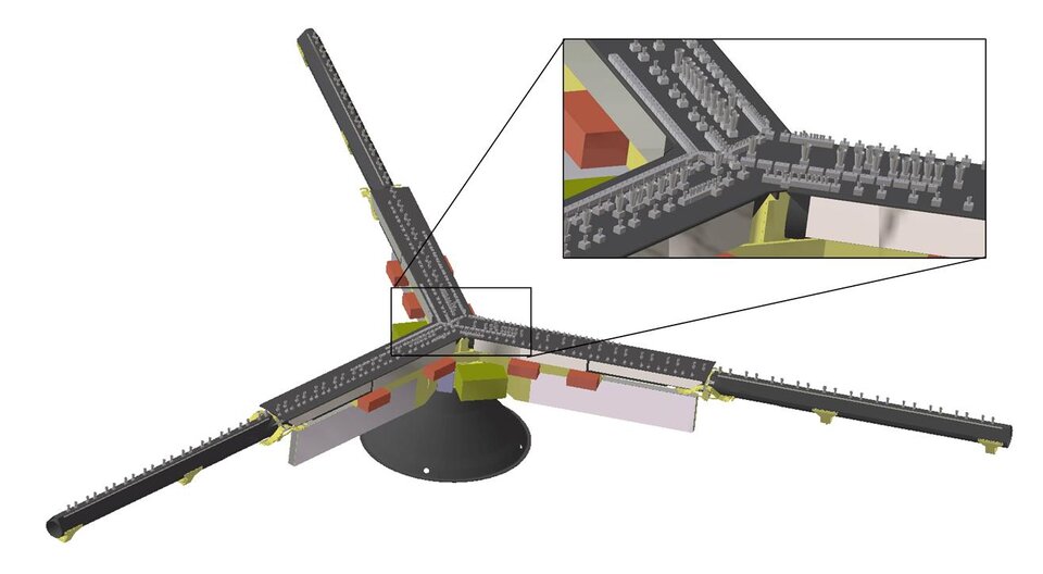
As a proof-of-concept, the GAS demonstrator includes only 21 antennas – 150 are envisaged for the operational version – with dual polarisations for enhanced accuracy. Its construction was supported through ESA’s Basic Technology Research Programme, dedicated to pursuing promising ideas into working prototypes.
Two related projects are proceeding through ESA’s next-stage General Support Technology Programme: one to tailor a ‘massive monolithic integrated circuit’ for cross-calibration processing, and a second to develop the ultra-stable satellite structures needed to achieve stable millimetre-wave correlations.
